Old Maps of Grandfield, Arkansas for Genealogy
Trace your family roots with 13 historic maps of Grandfield. These high-res maps reveal old neighborhoods, homesites, landmarks, and streets — helping you uncover where your ancestors lived and how the area evolved over time.
- Explore historic neighborhoods: Identify where your relatives may have lived in the 1800s or 1900s.
- Compare maps over time: Trace the changes in streets, buildings, and landmarks for multi-generational research.
- Perfect for genealogy & ancestry research: Used by family historians and researchers to map out lineage and migration.
These maps are an incredible resource for exploring your personal connection to Grandfield's past.
Grandfield, AR maps
(13)- 1906 Map of Caddo Gap
 1906 Caddo Gap1906 Print · USGSWest-central Arkansas at the dawn of the twentieth century shows a rugged landscape defined by the Ouachita ridges and early mountain industries. Researchers can trace defunct mining communities like Slatington and Fancy Hill, or locate long-gone railway stops at Hickory Station and Brocktown.3 unique versions available
 - 1955 Map of Little Rock, 1978 Print
 1955 Little Rock1978 Print · USGSCentral Arkansas in the mid-fifties exhibits a landscape of growing cities, massive military installations, and mountain reservoirs. Genealogists and historians can trace the industrial Bauxite Mines, regional rail lines, and local landmarks like Antioch Church.
 - 1956 Map of Little Rock
 1956 Little Rock1956 Print · USGSCentral Arkansas in the mid-fifties shows a landscape defined by burgeoning military bases and the timber-and-mineral wealth of the Ouachitas. Genealogists and researchers can trace old rail lines like the Missouri Pacific and find established communities such as Bauxite, Sheridan, and Mabelvale.
 - 1960 Map of Little Rock
 1960 Little Rock1960 Print · USGSCentral Arkansas in the late fifties shows a landscape of growing military bases and massive new reservoirs. Local historians can trace the mid-century expansion of Little Rock and Hot Springs alongside the industrial works at Bauxite and the Pine Bluff Arsenal.
 - 1964 Map of Little Rock
 1964 Little Rock1964 Print · USGSCentral Arkansas in the mid-sixties is a landscape of mountain ridges, industrial rail lines, and growing military hubs. Researchers can trace the development of Bauxite and Hot Springs or locate rural landmarks like Sparkman and the Pine Bluff Arsenal.
 - 1969 Map of Newhope, 1972 Print
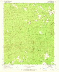 1969 Newhope1972 Print · USGSThe rural border of Pike and Howard Counties comes into focus just as the waters of Dierks Lake were beginning to rise in the late sixties. Trace family roots and vanished landmarks at Antioch Cem, the Old Railroad Grade, and the settlement of Newhope.2 unique versions available
 - 1972 Map of Center Point, 1973 Print
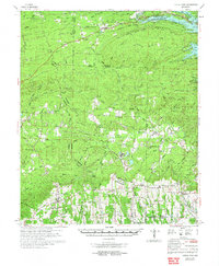 1972 Center Point1973 Print · USGSHoward and Pike counties are captured here in the early seventies, just as the region's timber and rail industries shaped the local landscape. Researchers can trace the routes of the Mississippi Southwestern Railroad and locate historic community centers like Corinth, Highland, and the Antioch Cem.
 - 1986 Map of Arkadelphia
 1986 Arkadelphia1986 Print · USGSSouthwest Arkansas in the mid-eighties shows a landscape of timbered ridges and significant new reservoirs. Researchers can trace rural schoolhouses and churches like Sunshine Sch and Hempwallace Ch alongside the famous Crater of Diamonds State Park.2 unique versions available
 - 2011 Map of Newhope, 2011 Print
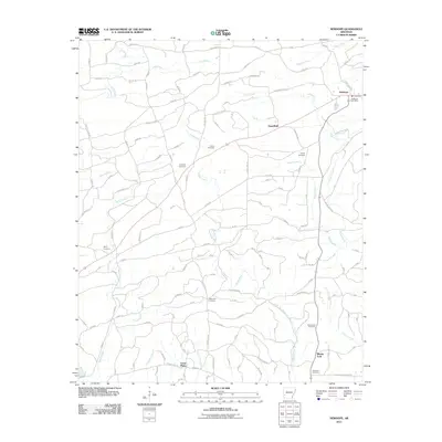 2011 Newhope2011 Print · USGSNewhope and its surrounding Arkansas countryside are documented here in the early twenty-first century. Researchers can trace family history through numerous local sites like Antioch Cemetery, Newhope Post Office, and the curious Water Can Crossing.
 - 2014 Map of Newhope, 2014 Print
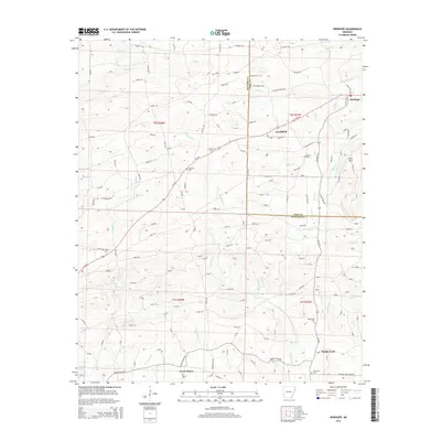 2014 Newhope2014 Print · USGSThe rural communities of Howard and Pike counties are documented here in the early twenty-first century as they were connected by river and road. Researchers can locate several historic burial sites, including Antioch Cem and Blackwood Cem, near the waters of the Muddy Fork.
 - 2017 Map of Newhope, 2017 Print
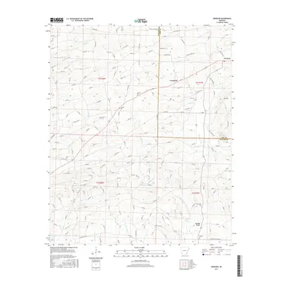 2017 Newhope2017 Print · USGSThe borderlands of Pike and Howard counties are captured here in the late twenty-teens, showing a rural landscape defined by the Muddy Fork river. Researchers can locate numerous family burial sites like Antioch Cem and Liberty Cem or trace the old paths of W Old Tram Rd.
 - 2020 Map of Newhope, 2020 Print
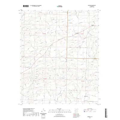 2020 Newhope2020 Print · USGSThe border of Pike and Howard Counties comes into focus in this recent survey of the Arkansas timberlands. Genealogists and local historians can trace family roots through several rural burial sites, including Harmony Cem, Kesterson Cem, and Henry Cem.
 - 2024 Map of Newhope, 2024 Print
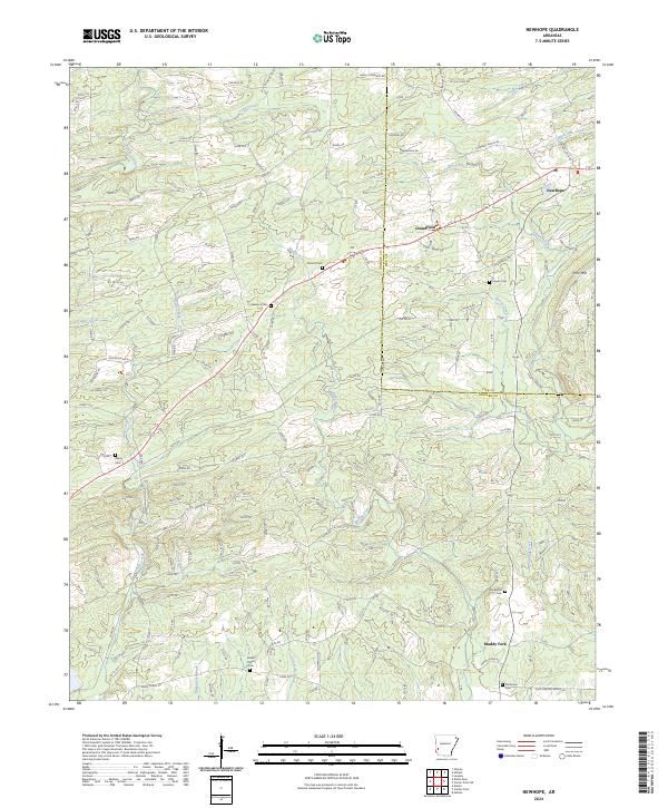 2024 Newhope2024 Print · USGSThe rural timberlands and creek bottoms of western Arkansas are captured here in the early twenty-first century. Genealogists and local historians can trace family roots through numerous sites like Antioch Cem, Grandfield, and Green Plains Cem.
End of results
Showing maps 1-13 of 13
Top cities near Grandfield
Frequently asked questions
- What are the different types of historical maps available for Grandfield?
- What is the oldest map of Grandfield?
- Where can I purchase historical maps of Grandfield for my home or office?
- Where can I download high-res historical maps of Grandfield?
- Are there historical topographic maps available for Grandfield?
- Is there historical aerial imagery available for Grandfield?
- Where are historical maps of Grandfield sourced from?