Old Maps of Mount Olive, Arkansas for Academic Research
Study the evolution of Mount Olive with 12 high-resolution historic maps. Whether you're teaching, researching, or modeling changes in land use, these maps provide essential visual documentation of urban, environmental, and geographic change.
- Analyze long-term change: Track patterns in development, transportation, and natural features.
- Ideal for environmental or urban studies: Support academic projects with primary historical map data.
- Use in the classroom or lab: Educators and researchers rely on these maps to bring historical context to life.
These maps are a powerful tool for teaching, research, and visualizing how Mount Olive has changed over the decades.
Mount Olive, AR maps
(12)- 1940 Map of Deckerville, 1942 Print
 1940 Deckerville1942 Print · USGSCrittenden and Poinsett counties are shown here as the local river-and-rail economy matured before the war. Genealogists can trace family landmarks like the King Solomon Sch & Cem, Booker Sch, and New Bethlehem Ch & Cem.
 - 1953 Map of Memphis, 1966 Print
 1953 Memphis1966 Print · USGSEastern Arkansas and the Memphis riverfront are shown here during the mid-century period of regional growth and river management. Local historians can trace the paths of the Chicago Rock Island & Pacific RR through Forrest City or locate river landmarks like President's Island.3 unique versions available
 - 1956 Map of Memphis
 1956 Memphis1956 Print · USGSThe Mississippi Delta and the bluffs of West Tennessee meet in the mid-fifties, showing a landscape defined by massive river systems and rail hubs. Researchers can trace the path of Crowleys Ridge or locate vanished river landings near Centennial Island and Island No 35.
 - 1957 Map of Deckerville, 1958 Print
 1957 Deckerville1958 Print · USGSThe Arkansas delta in the mid-fifties is captured here during its peak era of rail-and-river transport and intensive drainage. Genealogists can trace hundreds of rural family landmarks, including New Bethlehem Ch & Sch, St Peter Sch, and Prosperity Ch Sch & Cem.
 - 1974 Map of Joyland, 1976 Print
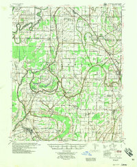
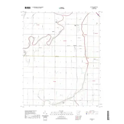
 1974 Joyland1976 Print · USGSThe Delta lowlands of Poinsett and Crittenden counties are shown in the mid-seventies, defined by the winding St Francis River and its complex irrigation network. Genealogists can trace rural communities like Black Oak and Galilee, or locate family sites near Tyronza Cem and New Hope Ch.2 unique versions available
 - 1977 Map of Deckerville
 1977 Deckerville1977 Print · USGSCrittenden and Poinsett counties are shown in the mid-seventies, an era when extensive drainage ditch networks supported a thriving agricultural delta. Genealogists can trace family names through sites like New Bethlehem Cem, Philadelphia Ch, and the settlement at Shannonville.
 - 1986 Map of Memphis West
 1986 Memphis West1986 Print · USGSThe Mississippi River delta and the rise of Crowleys Ridge define this mid-1980s look at the Mid-South. Researchers can trace the development of West Memphis and Marion or locate landmarks like Crittenden Mem Cem and Village Creek State Park.2 unique versions available
 - 2011 Map of Joyland, 2011 Print
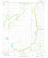
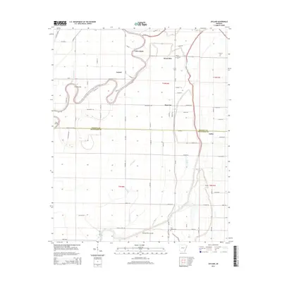
 2011 Joyland2011 Print · USGSCovers Mount Olive, including Galilee, Black Oak, and other nearby areas
 - 2014 Map of Joyland, 2014 Print
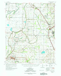
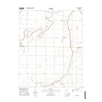
 2014 Joyland2014 Print · USGSCovers Mount Olive, including Galilee, Black Oak, and other nearby areas
 - 2017 Map of Joyland, 2017 Print
 2017 Joyland2017 Print · USGSCovers Mount Olive, including Galilee, Black Oak, and other nearby areas
 - 2020 Map of Joyland, 2020 Print
 2020 Joyland2020 Print · USGSCovers Mount Olive, including Galilee, Black Oak, and other nearby areas
 - 2024 Map of Joyland, 2024 Print
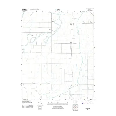
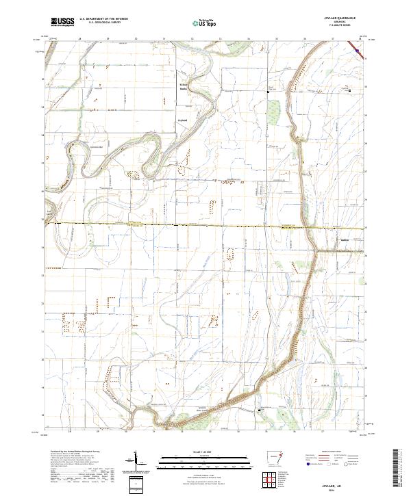 2024 Joyland2024 Print · USGSIn the fertile delta of Crittenden and Poinsett Counties, this modern survey documents a landscape defined by the winding Saint Francis and Tyronza Rivers. Researchers can locate family landmarks like Mount Olive Cem and the small communities of Joyland and Galilee.
End of results
Showing maps 1-12 of 12
Top cities near Mount Olive
- Memphis historical maps
- Marion historical maps
- Trumann historical maps
- Marked Tree historical maps
- Earle historical maps
- Lepanto historical maps
See more
Frequently asked questions
- What are the different types of historical maps available for Mount Olive?
- What is the oldest map of Mount Olive?
- Where can I purchase historical maps of Mount Olive for my home or office?
- Where can I download high-res historical maps of Mount Olive?
- Are there historical topographic maps available for Mount Olive?
- Is there historical aerial imagery available for Mount Olive?
- Where are historical maps of Mount Olive sourced from?