Old Maps of Waldenburg, Arkansas for Genealogy
Trace your family roots with 12 historic maps of Waldenburg. These high-res maps reveal old neighborhoods, homesites, landmarks, and streets — helping you uncover where your ancestors lived and how the area evolved over time.
- Explore historic neighborhoods: Identify where your relatives may have lived in the 1800s or 1900s.
- Compare maps over time: Trace the changes in streets, buildings, and landmarks for multi-generational research.
- Perfect for genealogy & ancestry research: Used by family historians and researchers to map out lineage and migration.
These maps are an incredible resource for exploring your personal connection to Waldenburg's past.
Waldenburg, AR maps
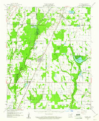
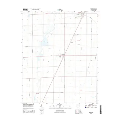
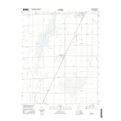
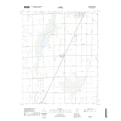
(12)- 1939 Map of Weiner, 1941 Print
 1939 Weiner1941 Print · USGSPoinsett County agricultural life centers on the rail corridor during the late thirties, before the modernization of the Delta landscape. Genealogists and historians can locate vanished rural landmarks such as O Bear Siding and schools like Beautiful Home Sch or Ukana Sch.3 unique versions available
 - 1953 Map of Memphis, 1966 Print
 1953 Memphis1966 Print · USGSEastern Arkansas and the Memphis riverfront are shown here during the mid-century period of regional growth and river management. Local historians can trace the paths of the Chicago Rock Island & Pacific RR through Forrest City or locate river landmarks like President's Island.3 unique versions available
 - 1956 Map of Memphis
 1956 Memphis1956 Print · USGSThe Mississippi Delta and the bluffs of West Tennessee meet in the mid-fifties, showing a landscape defined by massive river systems and rail hubs. Researchers can trace the path of Crowleys Ridge or locate vanished river landings near Centennial Island and Island No 35.
 - 1959 Map of Weiner, 1961 Print
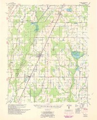
 1959 Weiner1961 Print · USGSThe Arkansas Delta near the Poinsett and Craighead border shows a landscape defined by rice farming and rail transit in the late fifties. You can trace family roots at Walker Cem and local churches like Chilson Ch or explore the rail hubs of Weiner and Waldenburg.
 - 1960 Map of Weiner
 1960 Weiner1960 Print · USGSNortheast Arkansas at the dawn of the 1960s shows a landscape defined by the ST LOUIS SOUTHWESTERN rail line and reclaimed delta bottomlands. Researchers can trace rural life through landmarks like Walker Cem, Chilson Ch, and the sprawling Public Hunting Area.
 - 1980 Map of Weiner
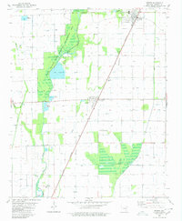 1980 Weiner1980 Print · USGSWestern Poinsett County in the early eighties was a landscape where the railroad and the wetlands shaped local life. Genealogists and historians can trace the foundations of Weiner, find Harmony Grove Ch, or locate the Zion Cem near Waldenburg.
 - 1986 Map of Jonesboro
 1986 Jonesboro1986 Print · USGSNortheast Arkansas in the mid-eighties shows a landscape of intensive drainage and railroad junctions centered on the rise of Crowley's Ridge. Researchers can trace the rail corridors of the St Louis Southwestern Railway and explore the unique geography of Hatchie Coon Island and the Mississippi River floodplain.2 unique versions available
 - 2011 Map of Weiner, 2011 Print
 2011 Weiner2011 Print · USGSCovers Waldenburg, including Weiner, Poinsett County, and other nearby areas
 - 2014 Map of Weiner, 2014 Print
 2014 Weiner2014 Print · USGSCovers Waldenburg, including Weiner, Poinsett County, and other nearby areas
 - 2017 Map of Weiner, 2017 Print
 2017 Weiner2017 Print · USGSCovers Waldenburg, including Weiner, Poinsett County, and other nearby areas
 - 2020 Map of Weiner, 2020 Print
 2020 Weiner2020 Print · USGSCovers Waldenburg, including Weiner, Poinsett County, and other nearby areas
 - 2024 Map of Weiner, 2024 Print
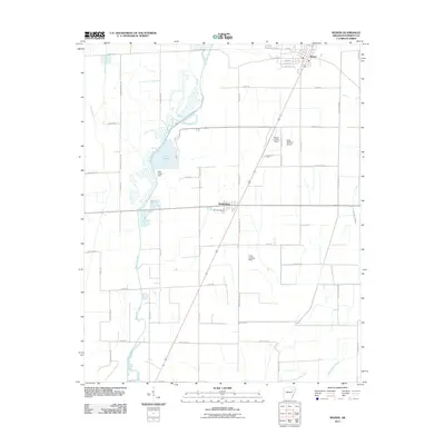
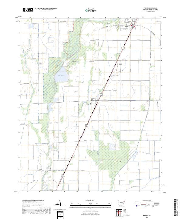 2024 Weiner2024 Print · USGSThe Poinsett County lowlands are captured here in the early 2020s, showing a landscape defined by the drainage of Bayou De View. Local researchers can trace the rural road networks connecting Weiner and Waldenburg to landmarks like Zion Cem.
End of results
Showing maps 1-12 of 12
Top cities near Waldenburg
- Jonesboro historical maps
- Harrisburg historical maps
- Weiner historical maps
- Cherry Valley historical maps
- Grubbs historical maps
- Hickory Ridge historical maps
See more
Frequently asked questions
- What are the different types of historical maps available for Waldenburg?
- What is the oldest map of Waldenburg?
- Where can I purchase historical maps of Waldenburg for my home or office?
- Where can I download high-res historical maps of Waldenburg?
- Are there historical topographic maps available for Waldenburg?
- Is there historical aerial imagery available for Waldenburg?
- Where are historical maps of Waldenburg sourced from?