Old Maps of Grannis, Arkansas for Metal Detecting
Plan your next treasure hunt with 18 historic maps of Grannis. Find old homesites, ghost towns, trails, and gathering spots that may be lost to time — perfect for identifying promising metal detecting locations.
- Locate forgotten sites: Uncover places like long-lost settlements, abandoned rail lines, or gathering spots.
- Plan better hunts: Use map overlays combined with LiDAR or satellite views to narrow in on historically rich areas.
- Made for detectorists: Thousands of hobbyists use these maps to discover relics, coins, and hidden history.
Use these historic maps to boost your research and find new opportunities beneath the surface of Grannis.
Grannis, AR maps
(18)- 1913 Map of De Queen
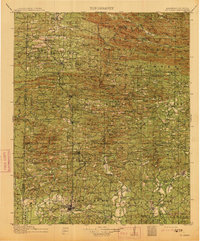 1913 De Queen1913 Print · USGSThe southern Ouachita Mountains and the Arkansas-Oklahoma borderlands appear here in the early twentieth century as the railroad transformed the timber and mining industries. Researchers can trace historic sites like the Welcome Home School, the Kansas City Southern RR corridor, and the early streets of De Queen.4 unique versions available
 - 1950 Map of Mcalester
 1950 Mcalester1950 Print · USGSThe Ouachita Mountains and the coal country of Southeast Oklahoma are shown here in the late 1940s. Genealogists and historians can trace the rail-driven growth of McAlester, Wilburton, and Antlers alongside the rugged terrain of Kiamichi Mountain.2 unique versions available
 - 1959 Map of Cove, 1960 Print
 1959 Cove1960 Print · USGSWestern Arkansas and the Oklahoma borderlands are captured here in the late fifties, showing the mountain corridor of the Kansas City Southern. Trace local history through landmark sites like Old Cove, Bethel Chapel, and several family burial grounds including Piney Cem.2 unique versions available
 - 1962 Map of McAlester
 1962 McAlester1962 Print · USGSSoutheastern Oklahoma and western Arkansas are shown here during the early sixties, a time of transition for the region's mountain communities and timberlands. Researchers can trace the paths of the Kansas City Southern RR through Heavener or locate settlements like Talihina and Broken Bow near the Kiamichi Mountains.2 unique versions available
 - 1964 Map of Gillham, 1966 Print
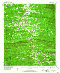
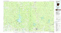
 1964 Gillham1966 Print · USGSSevier and Polk counties are shown here in the mid-1960s, just as the regional landscape began to adapt to new water infrastructure. Researchers can trace the Kansas City Southern line through Grannis and Gillham, or locate family sites like Overturf Cem and Almond Ch.2 unique versions available
 - 1965 Map of McAlester
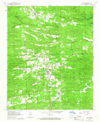
 1965 McAlester1965 Print · USGSSoutheastern Oklahoma and western Arkansas appear here in the mid-1960s, showing the intersection of the timber industry and the growing reservoir system. Genealogists can trace family roots through settlements like Antlers, Idabel, and Kiowa or follow the historic routes of the Kansas City Southern Ry.3 unique versions available
 - 1985 Map of Wickes
 1985 Wickes1985 Print · USGSThe Ouachita foothills of western Arkansas are seen here in the mid-1980s, centered on the railroad town of Wickes. Researchers can locate several family landmarks and rural institutions, including Daniel Cem, the Kansas City Southern line, and Crystal Hill Ch.
 - 1986 Map of De Queen
 1986 De Queen1986 Print · USGSThe Arkansas-Oklahoma borderlands are shown here in the mid-1980s, highlighting the complex water systems and mountain ridges of the Ouachita region. Genealogists and historians can trace rail routes like the Kansas City Southern and find old community sites such as Ultima Thule or Oak Grove Ch.2 unique versions available
 - 2011 Map of Wickes, 2011 Print
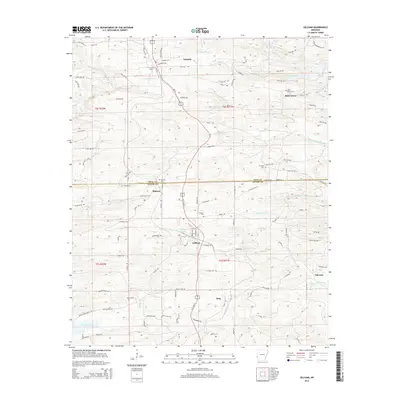
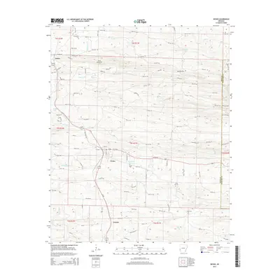
 2011 Wickes2011 Print · USGSCovers Grannis, including Wickes, Hatton, and other nearby areas
 - 2011 Map of Gillham, 2011 Print
 2011 Gillham2011 Print · USGSCovers Grannis, including Gillham, Fairview, and other nearby areas
 - 2014 Map of Gillham, 2014 Print
 2014 Gillham2014 Print · USGSCovers Grannis, including Gillham, Fairview, and other nearby areas
 - 2014 Map of Wickes, 2014 Print
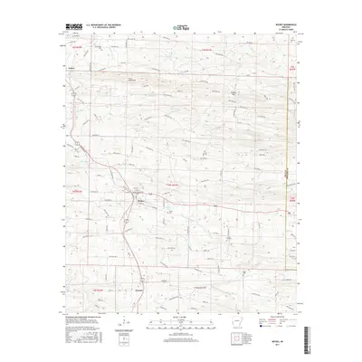
 2014 Wickes2014 Print · USGSCovers Grannis, including Wickes, Hatton, and other nearby areas
 - 2017 Map of Wickes, 2017 Print
 2017 Wickes2017 Print · USGSCovers Grannis, including Wickes, Hatton, and other nearby areas
 - 2017 Map of Gillham, 2017 Print
 2017 Gillham2017 Print · USGSCovers Grannis, including Gillham, Fairview, and other nearby areas
 - 2020 Map of Wickes, 2020 Print
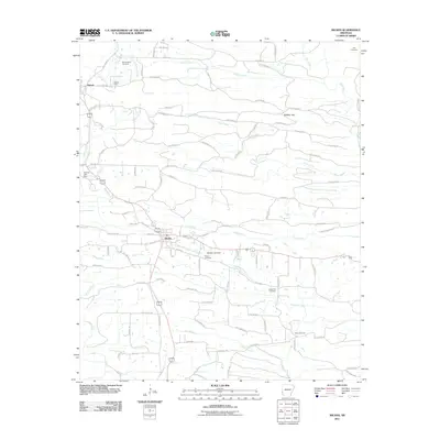
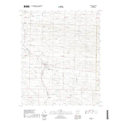 2020 Wickes2020 Print · USGSCovers Grannis, including Wickes, Hatton, and other nearby areas
 - 2020 Map of Gillham, 2020 Print
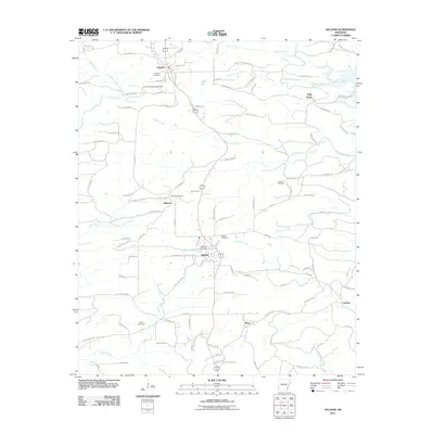
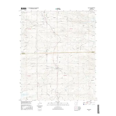
 2020 Gillham2020 Print · USGSCovers Grannis, including Gillham, Fairview, and other nearby areas
 - 2024 Map of Wickes, 2024 Print
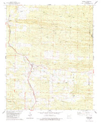
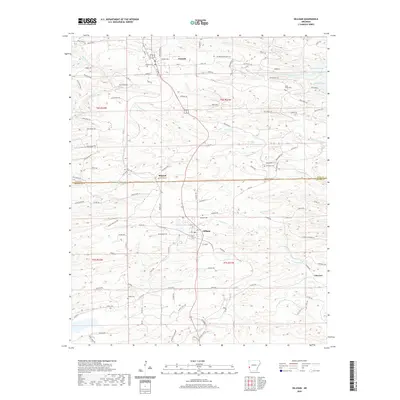
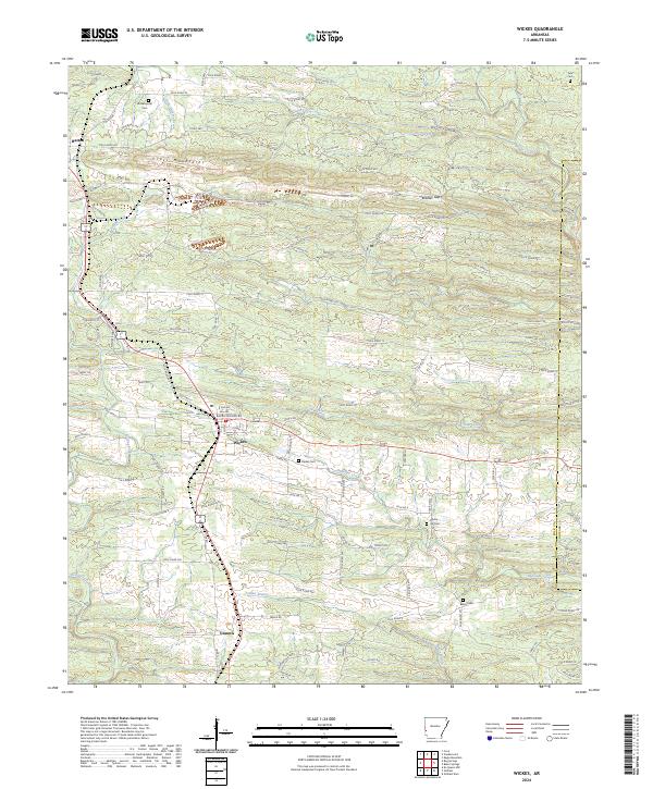 2024 Wickes2024 Print · USGSWestern Arkansas hill country comes into focus in this modern survey of the Polk County uplands. Researchers can trace family names at Witherspoon Cem and Crystal Hill Cem, or explore the ridges of the Cross Mountains and Bradley Gap.
 - 2024 Map of Gillham, 2024 Print
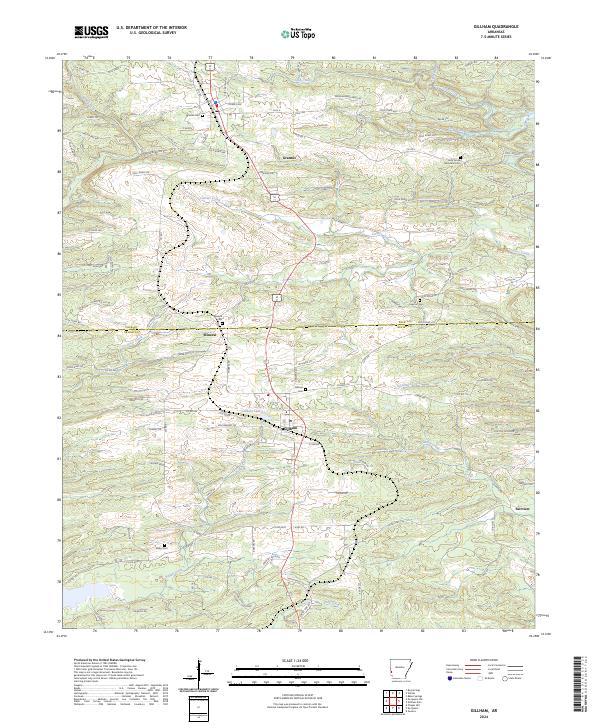 2024 Gillham2024 Print · USGSThe borderlands of Polk and Sevier counties are shown here in the 2020s, featuring the significant waters of Gillham Lake and the Rolling Fork. Family historians can locate numerous burial sites including Grannis Cem, Overturf Cem, and Valley Cem.
End of results
Showing maps 1-18 of 18
Top cities near Grannis
- De Queen historical maps
- Wickes historical maps
- Cove historical maps
- Gillham historical maps
- Vandervoort historical maps
Frequently asked questions
- What are the different types of historical maps available for Grannis?
- What is the oldest map of Grannis?
- Where can I purchase historical maps of Grannis for my home or office?
- Where can I download high-res historical maps of Grannis?
- Are there historical topographic maps available for Grannis?
- Is there historical aerial imagery available for Grannis?
- Where are historical maps of Grannis sourced from?