Old Maps of Hatfield, Arkansas for Hiking & Exploration
Hike through history with 18 historic maps of Hatfield. Explore old trails, ghost towns, and forgotten backroads — perfect for outdoor adventurers and local explorers.
- Rediscover forgotten places: Map out old mining camps, roads, and footpaths that no longer exist on modern maps.
- Layer with modern tools: Combine with LiDAR or satellite views to plan hikes through historical terrain.
- Made for exploration: Popular among hikers, overlanders, and local history lovers.
Use these maps to find adventure and explore the hidden past of Hatfield.
Hatfield, AR maps
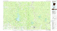
(18)- 1913 Map of De Queen
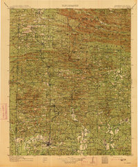 1913 De Queen1913 Print · USGSThe southern Ouachita Mountains and the Arkansas-Oklahoma borderlands appear here in the early twentieth century as the railroad transformed the timber and mining industries. Researchers can trace historic sites like the Welcome Home School, the Kansas City Southern RR corridor, and the early streets of De Queen.4 unique versions available
 - 1950 Map of Mcalester
 1950 Mcalester1950 Print · USGSThe Ouachita Mountains and the coal country of Southeast Oklahoma are shown here in the late 1940s. Genealogists and historians can trace the rail-driven growth of McAlester, Wilburton, and Antlers alongside the rugged terrain of Kiamichi Mountain.2 unique versions available
 - 1959 Map of Cove, 1960 Print
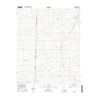
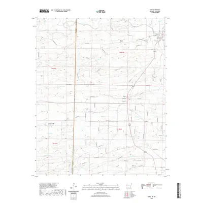
 1959 Cove1960 Print · USGSWestern Arkansas and the Oklahoma borderlands are captured here in the late fifties, showing the mountain corridor of the Kansas City Southern. Trace local history through landmark sites like Old Cove, Bethel Chapel, and several family burial grounds including Piney Cem.2 unique versions available
 - 1962 Map of McAlester
 1962 McAlester1962 Print · USGSSoutheastern Oklahoma and western Arkansas are shown here during the early sixties, a time of transition for the region's mountain communities and timberlands. Researchers can trace the paths of the Kansas City Southern RR through Heavener or locate settlements like Talihina and Broken Bow near the Kiamichi Mountains.2 unique versions available
 - 1965 Map of McAlester
 1965 McAlester1965 Print · USGSSoutheastern Oklahoma and western Arkansas appear here in the mid-1960s, showing the intersection of the timber industry and the growing reservoir system. Genealogists can trace family roots through settlements like Antlers, Idabel, and Kiowa or follow the historic routes of the Kansas City Southern Ry.3 unique versions available
 - 1984 Map of Vandervoort
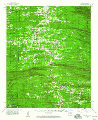
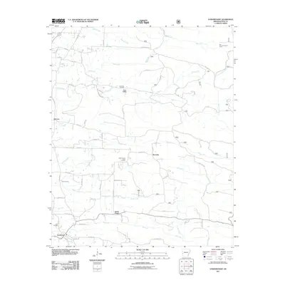
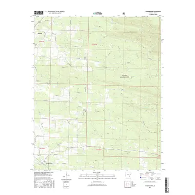
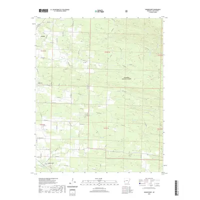
 1984 Vandervoort1984 Print · USGSThe rail line and national forest lands of Polk County appear in detail during the mid-1980s. Researchers can trace rural genealogy and land use across Hatfield, Vandervoort, and local landmarks like Cecil Cemetery and Union Church.
 - 1984 Map of Cove, 1985 Print
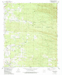
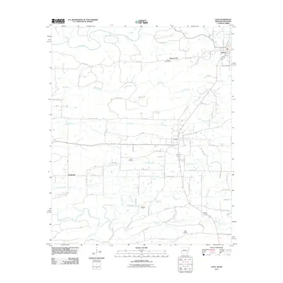
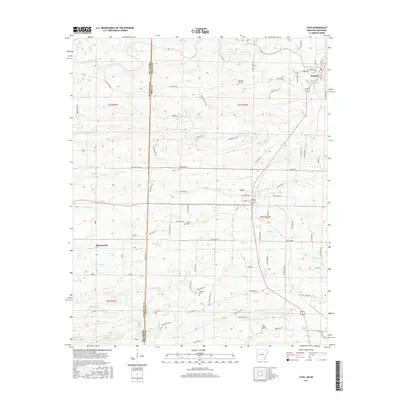
 1984 Cove1985 Print · USGSThe Arkansas-Oklahoma borderlands in the early 1980s come alive through this detailed survey of the rail corridor between Cove and Hatfield. Genealogists and local historians can trace the locations of Pleasant Hill Cem, the crossroads at Plunketville, and several country churches like Pleasant Grove Ch.
 - 1986 Map of De Queen
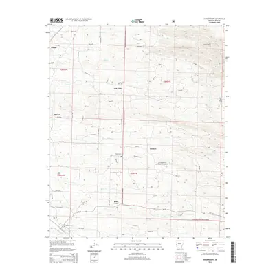
 1986 De Queen1986 Print · USGSThe Arkansas-Oklahoma borderlands are shown here in the mid-1980s, highlighting the complex water systems and mountain ridges of the Ouachita region. Genealogists and historians can trace rail routes like the Kansas City Southern and find old community sites such as Ultima Thule or Oak Grove Ch.2 unique versions available
 - 2011 Map of Vandervoort, 2011 Print
 2011 Vandervoort2011 Print · USGSCovers Hatfield, including Vandervoort, Lone Valley, and other nearby areas
 - 2011 Map of Cove, 2011 Print
 2011 Cove2011 Print · USGSCovers Hatfield, including Cove, Plunketville, and other nearby areas
 - 2014 Map of Vandervoort, 2014 Print
 2014 Vandervoort2014 Print · USGSCovers Hatfield, including Vandervoort, Lone Valley, and other nearby areas
 - 2014 Map of Cove, 2014 Print
 2014 Cove2014 Print · USGSCovers Hatfield, including Cove, Plunketville, and other nearby areas
 - 2017 Map of Cove, 2017 Print
 2017 Cove2017 Print · USGSCovers Hatfield, including Cove, Plunketville, and other nearby areas
 - 2017 Map of Vandervoort, 2017 Print
 2017 Vandervoort2017 Print · USGSCovers Hatfield, including Vandervoort, Lone Valley, and other nearby areas
 - 2020 Map of Cove, 2020 Print
 2020 Cove2020 Print · USGSCovers Hatfield, including Cove, Plunketville, and other nearby areas
 - 2020 Map of Vandervoort, 2020 Print
 2020 Vandervoort2020 Print · USGSCovers Hatfield, including Vandervoort, Lone Valley, and other nearby areas
 - 2024 Map of Cove, 2024 Print
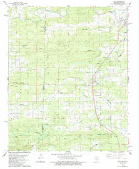
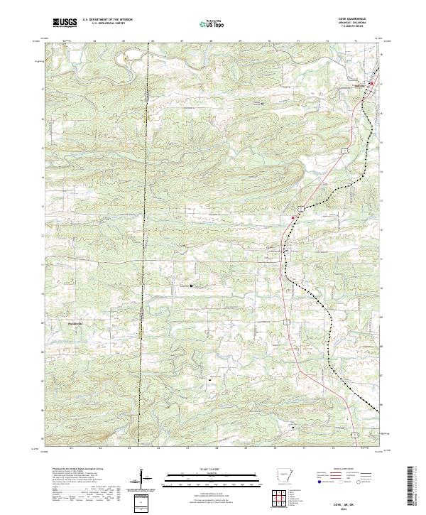 2024 Cove2024 Print · USGSThe Oklahoma-Arkansas borderlands are captured here in the early twenty-first century, centered on the Polk County settlements of Cove and Hatfield. Genealogists can trace local roots through sites like Buffalo Cem and Cecil Chapel Cem along the Mountain Fork river system.
 - 2024 Map of Vandervoort, 2024 Print
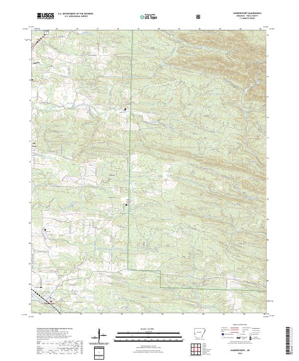 2024 Vandervoort2024 Print · USGSSouthern Polk County in the twenty-first century remains a landscape of timber and small settlements at the edge of the Ouachita National Forest. Genealogists can trace local roots through landmarks like Lone Valley Cem, Cecil Cem, and the streets of Vandervoort.
End of results
Showing maps 1-18 of 18
Top cities near Hatfield
- Mena historical maps
- Wickes historical maps
- Grannis historical maps
- Cove historical maps
- Vandervoort historical maps
Frequently asked questions
- What are the different types of historical maps available for Hatfield?
- What is the oldest map of Hatfield?
- Where can I purchase historical maps of Hatfield for my home or office?
- Where can I download high-res historical maps of Hatfield?
- Are there historical topographic maps available for Hatfield?
- Is there historical aerial imagery available for Hatfield?
- Where are historical maps of Hatfield sourced from?