Old Maps of Bauxite, Arkansas for Genealogy
Trace your family roots with 31 historic maps of Bauxite. These high-res maps reveal old neighborhoods, homesites, landmarks, and streets — helping you uncover where your ancestors lived and how the area evolved over time.
- Explore historic neighborhoods: Identify where your relatives may have lived in the 1800s or 1900s.
- Compare maps over time: Trace the changes in streets, buildings, and landmarks for multi-generational research.
- Perfect for genealogy & ancestry research: Used by family historians and researchers to map out lineage and migration.
These maps are an incredible resource for exploring your personal connection to Bauxite's past.
Bauxite, AR maps
(31)- 1890 Map of Benton
 1890 Benton1890 Print · USGSSaline and Pulaski counties are shown here in the late nineteenth century as the rail network began to reshape the river-valley economy. Genealogists and researchers can trace family roots through old settlements like Brazils and Avilla or locate landmarks like Goosepond Mt and Aplin.
 - 1891 Map of Little Rock
 1891 Little Rock1891 Print · USGSLittle Rock and the central Arkansas river valley are shown in detail during the 1890s, when rail travel and river trade dominated the local economy. Genealogists can trace early homesteads and communities near Argenta, the Indian Mounds at Toltec, and Sweet Home.
 - 1893 Map of Little Rock
 1893 Little Rock1893 Print · USGSLittle Rock and the Arkansas River valley are shown here in the early 1890s, just as the regional rail network was maturing. Genealogists can trace family roots through old settlements like Argenta, Shilcott, and Collegeville, or locate archaeological sites such as the Indian Mounds.5 unique versions available
 - 1894 Map of Benton
 1894 Benton1894 Print · USGSCentral Arkansas in the late nineteenth century was a landscape of steep ridges and critical river crossings. Genealogists and researchers can trace the early rail corridor of the St. Louis Iron Mountain and Southern R. R. near Benton or locate family roots in Avilla and Brazils.5 unique versions available
 - 1935 Map of Alexander
 1935 Alexander1935 Print · USGSSaline and Pulaski counties come alive in this mid-1930s survey as the rail-and-creek network shaped local life. Researchers can trace family roots through numerous country landmarks including Sardis Sch, Salem Cem, and the State Girls Indust Home.2 unique versions available
 - 1938 Map of Benton
 1938 Benton1938 Print · USGSSaline County industry and rural life are captured here in the late 1930s, just as the Bauxite Mines were fueling the local economy. Researchers can trace family roots through numerous country churches like Grape Chapel or locate old river crossings such as Wray Ford and Daniels Ford.4 unique versions available
 - 1941 Map of Alexander
 1941 Alexander1941 Print · USGSIn the 1930s, the corridor between Pulaski and Saline County was a bustling landscape of rail lines and rural townships. Genealogists and historians can trace family roots through numerous local landmarks, including the Dawson Sch, Vimy Ridge, and the Industrial Home.2 unique versions available
 - 1944 Map of Benton
 1944 Benton1944 Print · USGSSaline County in the mid-1940s centers on the industrial hub of Benton and the neighboring Bauxite Mines. Genealogists and historians can trace family roots through numerous rural landmarks like Grape Chapel, Pitkin Cem, and the State Hospital.
 - 1944 Map of Bryant, 1946 Print
 1944 Bryant1946 Print · USGSSaline County at the end of the war shows a landscape of timber, mining rails, and small crossroads communities. Genealogists and researchers can trace the locations of the Thomas Mcrae Tuberculosis Home, Mt Olive Sch, and the railroad stop at Brooks.2 unique versions available
 - 1944 Map of Benton, 1946 Print
 1944 Benton1946 Print · USGSBenton and the surrounding aluminum mining districts come to life in the years following the war. Genealogists and historians can trace rail lines like the Rock Island, locate rural schools like Bennett Sch, and find family names at Lee Cem or Liberty Cem.4 unique versions available
 - 1954 Map of Bryant, 1957 Print
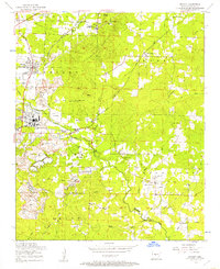 1954 Bryant1957 Print · USGSSaline County in the mid-fifties is captured here as a landscape of heavy mining operations and tight-knit rural communities. Researchers can trace the industrial footprint of Lignite and Pine Haven or locate family sites like China Grove Cemeteries and Sardis School.3 unique versions available
 - 1955 Map of Little Rock, 1978 Print
 1955 Little Rock1978 Print · USGSCentral Arkansas in the mid-fifties exhibits a landscape of growing cities, massive military installations, and mountain reservoirs. Genealogists and historians can trace the industrial Bauxite Mines, regional rail lines, and local landmarks like Antioch Church.
 - 1956 Map of Little Rock
 1956 Little Rock1956 Print · USGSCentral Arkansas in the mid-fifties shows a landscape defined by burgeoning military bases and the timber-and-mineral wealth of the Ouachitas. Genealogists and researchers can trace old rail lines like the Missouri Pacific and find established communities such as Bauxite, Sheridan, and Mabelvale.
 - 1960 Map of Little Rock
 1960 Little Rock1960 Print · USGSCentral Arkansas in the late fifties shows a landscape of growing military bases and massive new reservoirs. Local historians can trace the mid-century expansion of Little Rock and Hot Springs alongside the industrial works at Bauxite and the Pine Bluff Arsenal.
 - 1964 Map of Little Rock
 1964 Little Rock1964 Print · USGSCentral Arkansas in the mid-sixties is a landscape of mountain ridges, industrial rail lines, and growing military hubs. Researchers can trace the development of Bauxite and Hot Springs or locate rural landmarks like Sparkman and the Pine Bluff Arsenal.
 - 1974 Map of Benton, 1977 Print
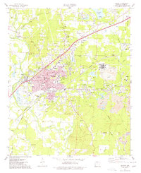 1974 Benton1977 Print · USGSBenton and the surrounding Saline County mining district are captured in the mid-seventies just as the aluminum industry and rail lines shaped the local economy. Researchers can locate family landmarks like Woodland Cem, early schools such as Perrin Sch, and the extensive Mine works near Bauxite.2 unique versions available
 - 1985 Map of Little Rock, 1988 Print
 1985 Little Rock1988 Print · USGSLittle Rock and its surrounding river valley are shown in the mid-eighties as the region balanced urban expansion with its industrial and military roots. Genealogists and historians can locate dozens of institutions and family landmarks, including Mount Holly Cem, the Bauxite Mines, and Central High Sch.
 - 1987 Map of Bryant
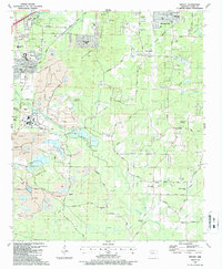 1987 Bryant1987 Print · USGSSaline County shows a distinct balance of industrial growth and rural community life during the late eighties. Researchers can trace the extensive mine works and rail lines like the Bauxite & Northern RR or locate family roots near Vimy Ridge Ch and Sardis.2 unique versions available
 - 1994 Map of Benton, 2000 Print
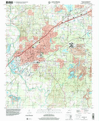 1994 Benton2000 Print · USGSBenton and the surrounding Saline County countryside are shown here in the mid-1990s, capturing a landscape shaped by the local mining industry and river geography. Researchers can trace historic family burial grounds like Lee Cem or locate community centers such as Wright Chapel and the Saline County Airport.
 - 1994 Map of Bryant, 2000 Print
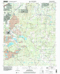 1994 Bryant2000 Print · USGSSaline County saw significant growth and industrial change during the mid-nineties, balancing residential expansion with large-scale mining operations. Genealogists and local historians can locate several family-named landmarks and rural centers, including China Grove Cemeteries, Vimy Ridge Ch, and the Ben Ball Bridge.
 - 2011 Map of Benton, 2011 Print
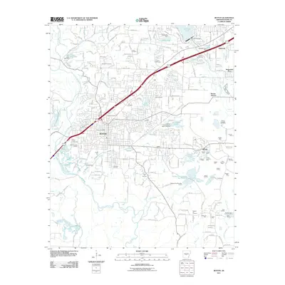 2011 Benton2011 Print · USGSBenton and the industrial corridor of Saline County are shown in detail during a period of sustained growth. Researchers can trace the legacy of local mining at Bauxite, locate family plots at Rosmont Cemetery, and explore the hydrology of the Saline River.
 - 2011 Map of Bryant, 2011 Print
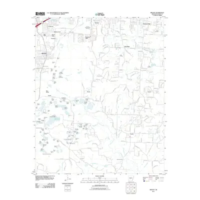 2011 Bryant2011 Print · USGSSaline County shows a distinct transition from suburban neighborhoods to heavy industry in the early twenty-first century. Genealogists and researchers can trace local family landmarks like Alexander Cemetery or Butler Cemetery alongside the massive mining works of the Covington Number 4 Mine and Quapaw South Pit Mine.
 - 2014 Map of Benton, 2014 Print
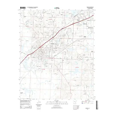 2014 Benton2014 Print · USGSBenton and Bryant appear here during a phase of modern growth, balancing residential expansion with a deep industrial heritage. Researchers can trace the Bauxite & Northern RR corridor and locate historic family burial sites like Social Hill Cem and Woodland Cem.
 - 2014 Map of Bryant, 2014 Print
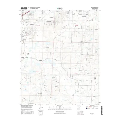 2014 Bryant2014 Print · USGSSaline County communities south of Little Rock show a mix of suburban expansion and deep-rooted settlements during this period. Genealogists and local historians can trace family locations near Bryant Cem, Vimy Ridge, and the China Grove Cemeteries.
 - 2017 Map of Bryant, 2017 Print
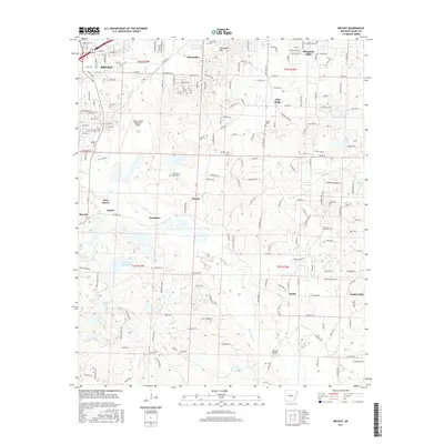 2017 Bryant2017 Print · USGSSaline County at the height of its modern growth reveals a landscape where historic communities like Bauxite and Shannon Hills meet expanding infrastructure. Genealogists and local historians can trace family landmarks like China Grove Cemeteries, Butler Cem, and the Ben Ball Bridge.
Showing maps 1-25 of 31
Top cities near Bauxite
- Little Rock historical maps
- North Little Rock historical maps
- Benton historical maps
- Bryant historical maps
- Sheridan historical maps
- Haskell historical maps
See more
Top neighborhoods of Bauxite
Frequently asked questions
- What are the different types of historical maps available for Bauxite?
- What is the oldest map of Bauxite?
- Where can I purchase historical maps of Bauxite for my home or office?
- Where can I download high-res historical maps of Bauxite?
- Are there historical topographic maps available for Bauxite?
- Is there historical aerial imagery available for Bauxite?
- Where are historical maps of Bauxite sourced from?