Old Maps of Waldron, Arkansas for Metal Detecting
Plan your next treasure hunt with 24 historic maps of Waldron. Find old homesites, ghost towns, trails, and gathering spots that may be lost to time — perfect for identifying promising metal detecting locations.
- Locate forgotten sites: Uncover places like long-lost settlements, abandoned rail lines, or gathering spots.
- Plan better hunts: Use map overlays combined with LiDAR or satellite views to narrow in on historically rich areas.
- Made for detectorists: Thousands of hobbyists use these maps to discover relics, coins, and hidden history.
Use these historic maps to boost your research and find new opportunities beneath the surface of Waldron.
Waldron, AR maps
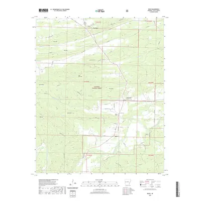
(24)- 1879 Map of Poteau Mountain
 1879 Poteau Mountain1879 Print · USGSScott County settlements and mountain ridges come into focus in the late nineteenth century as the region's river systems are meticulously documented. Genealogists and researchers can locate early homesteads near Waldron and trace old paths through Lockout Gap or along the Poteau River.
 - 1887 Map of Poteau Mountain #1
 1887 Poteau Mountain #11887 Print · USGSScott County settlements and mountain ridges are captured here in the late nineteenth century, just after this area was surveyed by the Geological Survey of Arkansas. Genealogists can trace old homesteads near Waldron or locate vanished landmarks like Chalybeate Spring and the remote settlement of Blansett.
 - 1890 Map of Poteau Mountain
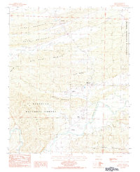
 1890 Poteau Mountain1890 Print · USGSWestern Arkansas and the Indian Territory border are mapped in the late 1880s as the frontier gives way to established settlements. Genealogists can trace early homesteads and post offices like Waldron, Dallas, and Cherry Hill, or locate the historic Toll Gate and Talihina Trail.2 unique versions available
 - 1899 Map of Poteau Mountain
 1899 Poteau Mountain1899 Print · USGSThe Arkansas borderlands and the Choctaw Nation frontier are captured here just before the turn of the century. Local historians can trace old homesteads and post offices near Waldron, Dallas, and the remote Cherry Hill (Egger P.O.) along the upper Ouachita.6 unique versions available
 - 1939 Map of Waldron, 1954 Print
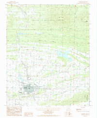
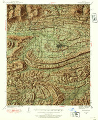 1939 Waldron1954 Print · USGSWaldron and the surrounding Scott County highlands are captured here in the late thirties as the railroad-driven economy shaped these mountain valleys. Genealogists can locate family landmarks like Old Salem Cem, the Jenkins Sch, and rural communities such as Winfield and Boles.8 unique versions available
 - 1940 Map of Waldron
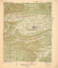 1940 Waldron1940 Print · USGSWaldron and the surrounding Ouachita highlands are shown here in the years leading up to the Second World War. Researchers can trace the heritage of rural Scott County through its many local schools and cemeteries, from Evening Shade Sch to the County Farm and Hon Cem.
 - 1941 Map of Waldron
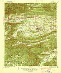 1941 Waldron1941 Print · USGSThe Scott County highlands come alive in the late 1930s, showing the vital rail junction at Waldron. Researchers can locate rural landmarks like Old Salem Ch, Hon Cem, and old mountain schoolhouses like Whisenhunt Sch.
 - 1949 Map of Waldron
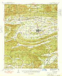 1949 Waldron1949 Print · USGSWaldron and the surrounding Scott County timberlands are captured here in the late 1940s as the railroad and river economy defined local life. Genealogists can trace family landmarks like Hon Cem, Square Rock Ch, and the old County Farm.2 unique versions available
 - 1950 Map of Mcalester
 1950 Mcalester1950 Print · USGSThe Ouachita Mountains and the coal country of Southeast Oklahoma are shown here in the late 1940s. Genealogists and historians can trace the rail-driven growth of McAlester, Wilburton, and Antlers alongside the rugged terrain of Kiamichi Mountain.2 unique versions available
 - 1962 Map of McAlester
 1962 McAlester1962 Print · USGSSoutheastern Oklahoma and western Arkansas are shown here during the early sixties, a time of transition for the region's mountain communities and timberlands. Researchers can trace the paths of the Kansas City Southern RR through Heavener or locate settlements like Talihina and Broken Bow near the Kiamichi Mountains.2 unique versions available
 - 1965 Map of McAlester
 1965 McAlester1965 Print · USGSSoutheastern Oklahoma and western Arkansas appear here in the mid-1960s, showing the intersection of the timber industry and the growing reservoir system. Genealogists can trace family roots through settlements like Antlers, Idabel, and Kiowa or follow the historic routes of the Kansas City Southern Ry.3 unique versions available
 - 1983 Map of Waldron, 1984 Print
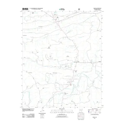
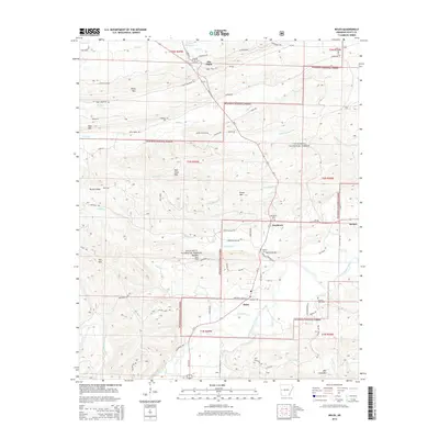
 1983 Waldron1984 Print · USGSScott County and the town of Waldron are shown in the early 1980s as a hub of river valleys and timbered ridges. Genealogists and local historians can trace the paths of the KANSAS CITY SOUTHERN railroad or locate features like Lake Waldron and the Waldron City Airport.
 - 1983 Map of Boles, 1984 Print
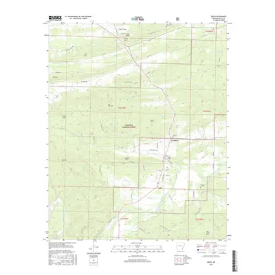
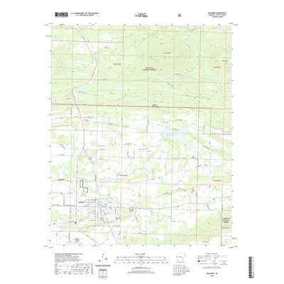
 1983 Boles1984 Print · USGSThe Scott County highlands come into focus during the early eighties, where the Fourche La Fave River winds through the Ouachita National Forest. Researchers can trace old homesteads near The Pines and Needmore, or locate specialized landmarks like the Ratliff Landing Strip.
 - 1989 Map of Mena, 1991 Print
 1989 Mena1991 Print · USGSThe Ouachita and Kiamichi mountains define this borderland region in the late 1980s. Local historians can trace the Kansas City Southern RR corridor from Mena through settlements like Heavener and past the waters of Wister Lake.
 - 2011 Map of Boles, 2011 Print
 2011 Boles2011 Print · USGSCovers Waldron, including The Pines, Boles, and other nearby areas
 - 2011 Map of Waldron, 2011 Print
 2011 Waldron2011 Print · USGSCovers Waldron, including Green Ridge, Pleasant Hill, and other nearby areas
 - 2014 Map of Waldron, 2014 Print
 2014 Waldron2014 Print · USGSCovers Waldron, including Green Ridge, Pleasant Hill, and other nearby areas
 - 2014 Map of Boles, 2014 Print
 2014 Boles2014 Print · USGSCovers Waldron, including The Pines, Boles, and other nearby areas
 - 2017 Map of Waldron, 2017 Print
 2017 Waldron2017 Print · USGSCovers Waldron, including Green Ridge, Pleasant Hill, and other nearby areas
 - 2017 Map of Boles, 2017 Print
 2017 Boles2017 Print · USGSCovers Waldron, including The Pines, Boles, and other nearby areas
 - 2020 Map of Boles, 2020 Print
 2020 Boles2020 Print · USGSCovers Waldron, including The Pines, Boles, and other nearby areas
 - 2020 Map of Waldron, 2020 Print
 2020 Waldron2020 Print · USGSCovers Waldron, including Green Ridge, Pleasant Hill, and other nearby areas
 - 2024 Map of Waldron, 2024 Print
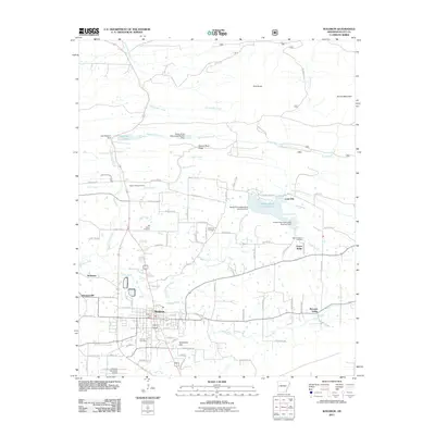
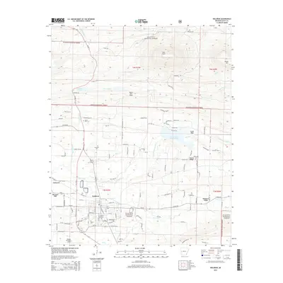
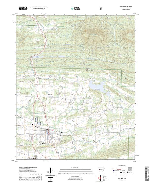 2024 Waldron2024 Print · USGSWaldron and the surrounding Scott County highlands are captured here in the early twenty-first century as the community transitions into the modern era. Genealogists can trace family landmarks and rural burying grounds like Old Salem Cem, Duncan Cem, and the historic Scott County Courthouse.
 - 2024 Map of Boles, 2024 Print
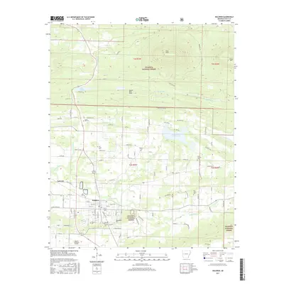
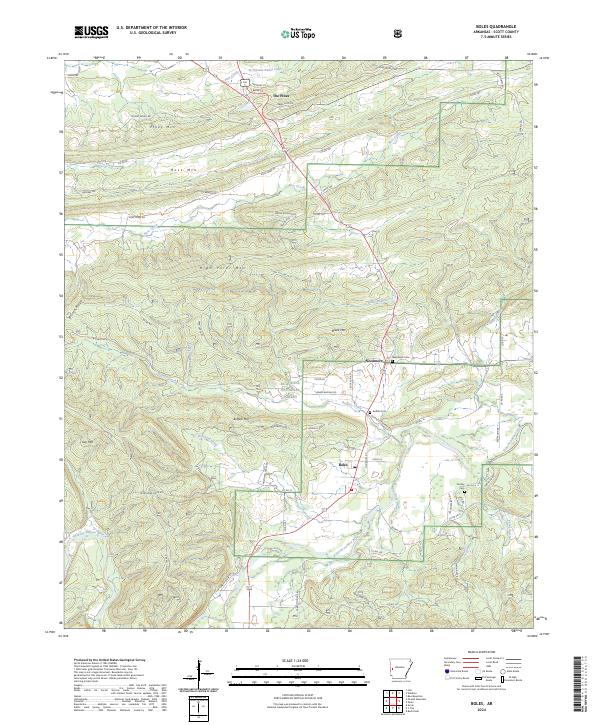 2024 Boles2024 Print · USGSBoles and the surrounding Ouachita foothills are captured here in a moment of modern rural continuity. Genealogists and local historians can locate family sites near Needmore Cem, trace the course of the Fourche LaFave River, or find old homesteads along Smokehouse Rd.
End of results
Showing maps 1-24 of 24
Top cities near Waldron
Frequently asked questions
- What are the different types of historical maps available for Waldron?
- What is the oldest map of Waldron?
- Where can I purchase historical maps of Waldron for my home or office?
- Where can I download high-res historical maps of Waldron?
- Are there historical topographic maps available for Waldron?
- Is there historical aerial imagery available for Waldron?
- Where are historical maps of Waldron sourced from?