Old Maps of Ash Flat, Arkansas for Metal Detecting
Plan your next treasure hunt with 29 historic maps of Ash Flat. Find old homesites, ghost towns, trails, and gathering spots that may be lost to time — perfect for identifying promising metal detecting locations.
- Locate forgotten sites: Uncover places like long-lost settlements, abandoned rail lines, or gathering spots.
- Plan better hunts: Use map overlays combined with LiDAR or satellite views to narrow in on historically rich areas.
- Made for detectorists: Thousands of hobbyists use these maps to discover relics, coins, and hidden history.
Use these historic maps to boost your research and find new opportunities beneath the surface of Ash Flat.
Ash Flat, AR maps
(29)- 1957 Map of Poplar Bluff, 1968 Print
 1957 Poplar Bluff1968 Print · USGSThe Missouri-Arkansas border region is captured here as the timber and rail industries shaped the Ozark foothills. Genealogists and historians can trace the Missouri Pacific Railroad through river towns like Pocahontas, Greenville, and Van Buren.3 unique versions available
 - 1959 Map of Poplar Bluff
 1959 Poplar Bluff1959 Print · USGSThe Missouri Ozarks and Arkansas borderlands meet in this late 1950s study of the region's diverse terrain and rail-fed towns. Researchers can trace the path of the Missouri Pacific Railroad through Poplar Bluff or locate smaller settlements like Birch Tree and Myrtle.
 - 1960 Map of Poplar Bluff
 1960 Poplar Bluff1960 Print · USGSSoutheast Missouri and Northeast Arkansas are captured here during the post-war era, showing the transition from the Ozark highlands to the Delta. Genealogists and historians can trace rail corridors like the St. Louis Southwestern RR and remote settlements such as Birch Tree and Warm Springs.
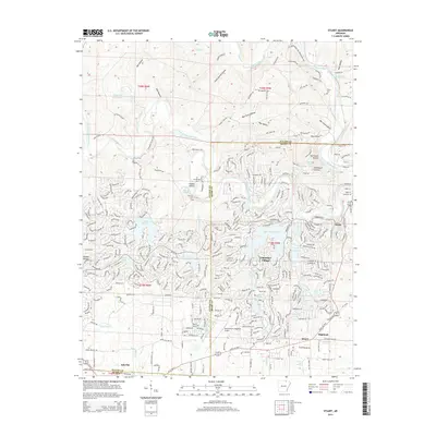
 - 1962 Map of Stuart, 1963 Print
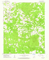
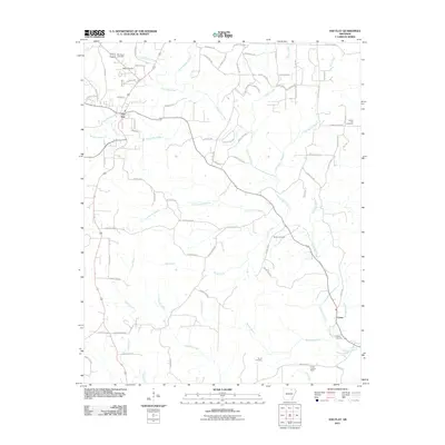
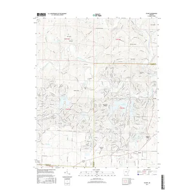
 1962 Stuart1963 Print · USGSFulton and Sharp Counties are captured during the mid-century transformation of the Ozarks into a recreational lake district. Genealogists and local historians can trace family sites like Taylor Cem alongside the emerging planned communities of Cherokee Village and Hidden Valley.4 unique versions available
 - 1962 Map of Ash Flat, 1963 Print
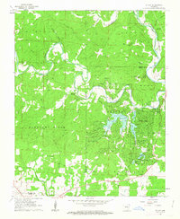
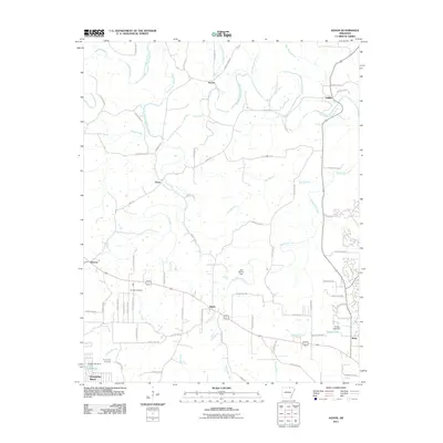
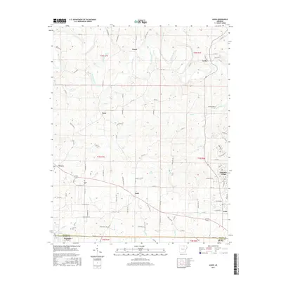
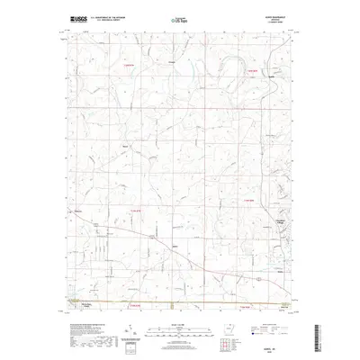
 1962 Ash Flat1963 Print · USGSSharp County during the early sixties shows a landscape of upland ridges and scattered rural settlements. Genealogists can trace family connections at Hickory Grove Cem, Corinth Ch, and the high point at Center Lookout Tower.3 unique versions available
 - 1962 Map of Myron, 1963 Print
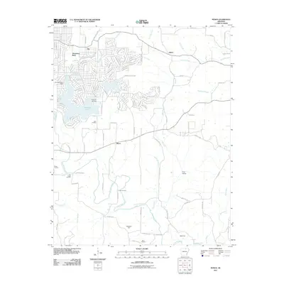
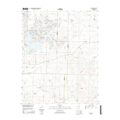
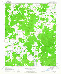 1962 Myron1963 Print · USGSNortheast Arkansas in the early sixties reveals a landscape of isolated farmsteads and quiet river valleys along the Strawberry River. Researchers can trace local lineage through numerous sites like Hills Chapel Cem, Ballard, and the community of Myron.3 unique versions available
 - 1962 Map of Agnos, 1963 Print
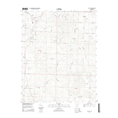
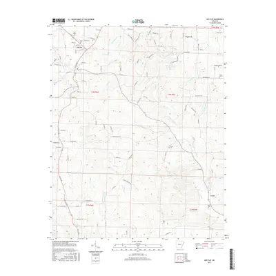
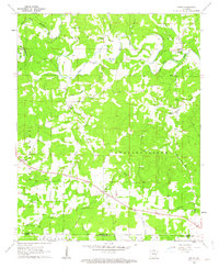 1962 Agnos1963 Print · USGSNorthern Arkansas at the start of the 1960s shows a landscape of ridge-top settlements and winding river forks. Genealogists and local historians can locate rural landmarks like Burks Chapel, follow U.S. Route 62 through Agnos, or find family burial plots at Rhoads Cem.3 unique versions available
 - 1983 Map of Cherokee Village
 1983 Cherokee Village1983 Print · USGSThe Ozark foothills and river valleys of Northeast Arkansas are captured in the early eighties as modern planned communities began to reshape the landscape. Genealogists and historians can trace family-named ridges and schools across Evening Shade, Melbourne, and the rail junction at Hoxie.
 - 2011 Map of Agnos, 2011 Print
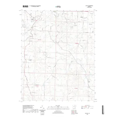
 2011 Agnos2011 Print · USGSCovers Ash Flat, including Cherokee Village, Horseshoe Bend, and other nearby areas
 - 2011 Map of Ash Flat, 2011 Print
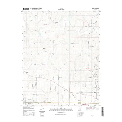
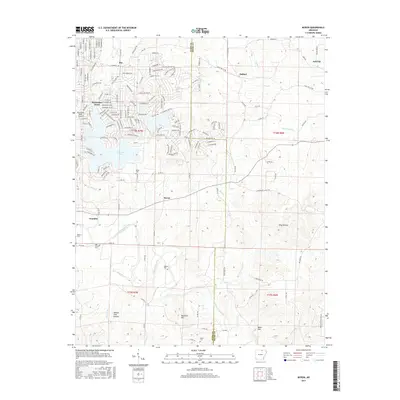
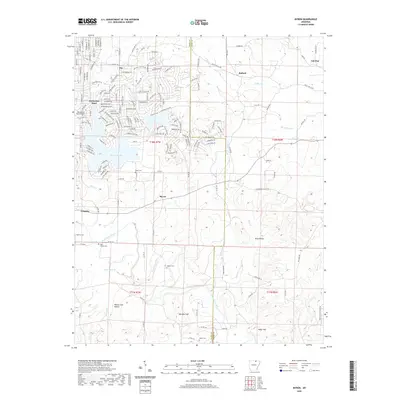
 2011 Ash Flat2011 Print · USGSCovers Ash Flat, including Highland, Center, and other nearby areas
 - 2011 Map of Stuart, 2011 Print
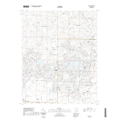
 2011 Stuart2011 Print · USGSCovers Ash Flat, including Cherokee Village, Highland, and other nearby areas
 - 2011 Map of Myron, 2011 Print
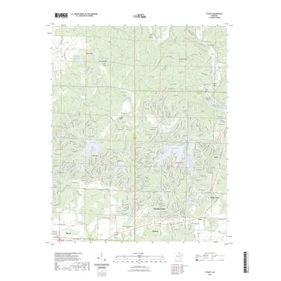
 2011 Myron2011 Print · USGSCovers Ash Flat, including Horseshoe Bend, Franklin, and other nearby areas
 - 2014 Map of Stuart, 2014 Print
 2014 Stuart2014 Print · USGSCovers Ash Flat, including Cherokee Village, Highland, and other nearby areas
 - 2014 Map of Agnos, 2014 Print
 2014 Agnos2014 Print · USGSCovers Ash Flat, including Cherokee Village, Horseshoe Bend, and other nearby areas
 - 2014 Map of Ash Flat, 2014 Print
 2014 Ash Flat2014 Print · USGSCovers Ash Flat, including Highland, Center, and other nearby areas
 - 2014 Map of Myron, 2014 Print
 2014 Myron2014 Print · USGSCovers Ash Flat, including Horseshoe Bend, Franklin, and other nearby areas
 - 2017 Map of Agnos, 2017 Print
 2017 Agnos2017 Print · USGSCovers Ash Flat, including Cherokee Village, Horseshoe Bend, and other nearby areas
 - 2017 Map of Myron, 2017 Print
 2017 Myron2017 Print · USGSCovers Ash Flat, including Horseshoe Bend, Franklin, and other nearby areas
 - 2017 Map of Ash Flat, 2017 Print
 2017 Ash Flat2017 Print · USGSCovers Ash Flat, including Highland, Center, and other nearby areas
 - 2017 Map of Stuart, 2017 Print
 2017 Stuart2017 Print · USGSCovers Ash Flat, including Cherokee Village, Highland, and other nearby areas
 - 2020 Map of Agnos, 2020 Print
 2020 Agnos2020 Print · USGSCovers Ash Flat, including Cherokee Village, Horseshoe Bend, and other nearby areas
 - 2020 Map of Myron, 2020 Print
 2020 Myron2020 Print · USGSCovers Ash Flat, including Horseshoe Bend, Franklin, and other nearby areas
 - 2020 Map of Stuart, 2020 Print
 2020 Stuart2020 Print · USGSCovers Ash Flat, including Cherokee Village, Highland, and other nearby areas
 - 2020 Map of Ash Flat, 2020 Print
 2020 Ash Flat2020 Print · USGSCovers Ash Flat, including Highland, Center, and other nearby areas
 - 2023 Map of Stuart, 2023 Print
 2023 Stuart2023 Print · USGSCovers Ash Flat, including Cherokee Village, Highland, and other nearby areas
Showing maps 1-25 of 29
Top cities near Ash Flat
- Cherokee Village historical maps
- Horseshoe Bend historical maps
- Salem historical maps
- Highland historical maps
- Hardy historical maps
- Evening Shade historical maps
See more
Frequently asked questions
- What are the different types of historical maps available for Ash Flat?
- What is the oldest map of Ash Flat?
- Where can I purchase historical maps of Ash Flat for my home or office?
- Where can I download high-res historical maps of Ash Flat?
- Are there historical topographic maps available for Ash Flat?
- Is there historical aerial imagery available for Ash Flat?
- Where are historical maps of Ash Flat sourced from?