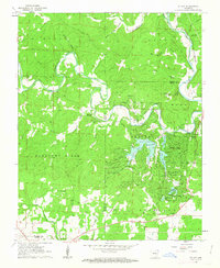
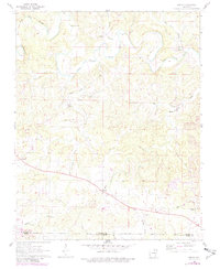
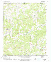
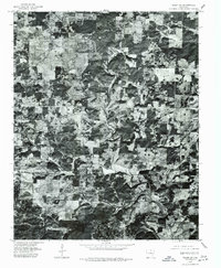
1962 Map of Stuart
USGS Topo · Published 1963This historical map portrays the area of Stuart in 1962, primarily covering Fulton County as well as portions of Sharp County. Featuring a scale of 1:24000, this map provides a highly detailed snapshot of the terrain, roads, buildings, counties, and historical landmarks in the Stuart region at the time. Published in 1963, it is one of 4 known editions of this map due to revisions or reprints.
Find a feature on this map
72 named features on this map. Tap any name to fly to it.
Don’t see what you’re looking for? This feature index may not catch every label — zoom into the map to look around manually.
Map Details
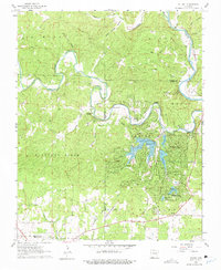
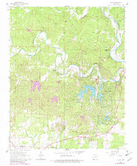
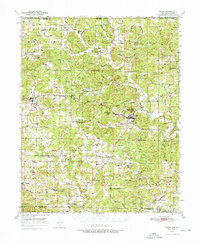
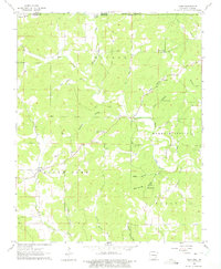
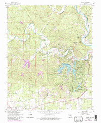
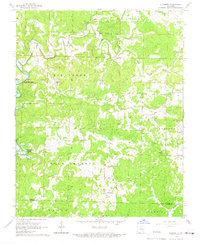
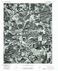
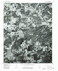
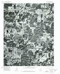
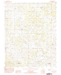
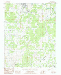
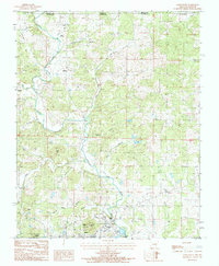
Editions of this 1962 Stuart Map
4 editions found
Historical Maps of Ash Flat Through Time
14 maps found
1950 Salem
Fulton County, AR

1951 Salem
Fulton County, AR
1962 Agnos
Fulton County, AR
1962 Camp
Fulton County, AR
1962 Stuart
Fulton County, AR
1966 Elizabeth
Fulton County, AR
1966 Gepp
Fulton County, AR
1976 Salem NE
Fulton County, AR
1976 Salem NW
Fulton County, AR
1976 Salem SE
Fulton County, AR
1976 Salem SW
Fulton County, AR
1984 Byron
Fulton County, AR
1984 Salem
Fulton County, AR
1984 Salem Knob
Fulton County, AR