
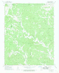
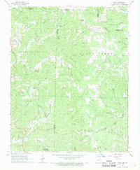
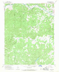
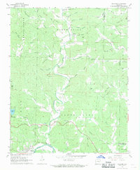
1968 Map of Hardy
USGS Topo · Published 1969About this map
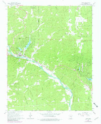
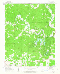
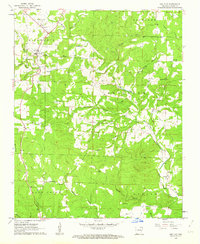
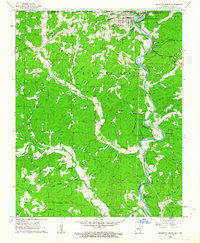
The Spring River carves a deep valley through the Ozark foothills, serving as the central artery for transport and recreation in the late 1960s. The town of Hardy sits at the river's bend, where the St Louis-San Francisco railroad follows the water's edge, connecting local commerce to the broader region. This area demonstrates a mix of established town life and developing recreational communities like Woodland Hills, Hidden Valley, and Ozark Acres, often centered around man-made water bodies such as Sherwood Lake and Vagabond Lake.
Find a feature on this map
54 named features on this map. Tap any name to fly to it.
Don’t see what you’re looking for? This feature index may not catch every label — zoom into the map to look around manually.
Map Details
Editions of this 1968 Hardy Map
2 editions found
Other maps of this area

1957 · Poplar Bluff
USGS Topo · 1:250,000

1959 · Poplar Bluff
USGS Topo · 1:250,000

1960 · Poplar Bluff
USGS Topo · 1:250,000
1962 · Stuart
USGS Topo · 1:24,000
1962 · Ash Flat
USGS Topo · 1:24,000
1962 · Mammoth Spring
USGS Topo · 1:24,000
1968 · Hardy NE
USGS Topo · 1:24,000
1968 · Wirth
USGS Topo · 1:24,000
1968 · Ravenden
USGS Topo · 1:24,000
1968 · Williford
USGS Topo · 1:24,000