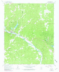
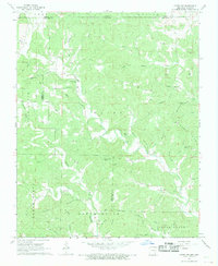
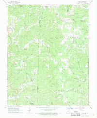
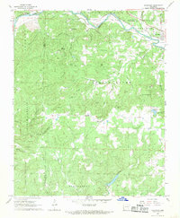
1968 Map of Hardy
USGS Topo · Published 1982About this map
The Spring River carves a path through the borderlands of Fulton and Sharp Counties, serving as the central geographic feature for the settlement of Hardy. In the late 1960s, this area reflects a landscape of traditional upland farming alongside emerging recreational developments like Woodland Hills and Ozark Acres. The Burlington Northern railroad follows the river's course, a testament to the corridor's long-standing role as a transport artery through the Ozark foothills. Genealogical interest is high here, with several family and community burial grounds documented, including Richardson Cem, Walker Cem, and Pleasant Hill Cem. The terrain is also marked by subterranean features such as Richardson Cave and Ott Cave, while numerous hollows and ridges like Goat Ridge Hollow and Humphrey Ridge define the local topography.
Find a feature on this map
48 named features on this map. Tap any name to fly to it.
Don’t see what you’re looking for? This feature index may not catch every label — zoom into the map to look around manually.
Map Details
Editions of this 1968 Hardy Map
2 editions found
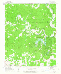
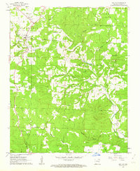
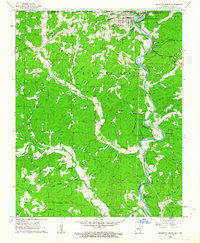
Other maps of this area

1957 · Poplar Bluff
USGS Topo · 1:250,000

1959 · Poplar Bluff
USGS Topo · 1:250,000

1960 · Poplar Bluff
USGS Topo · 1:250,000
1962 · Stuart
USGS Topo · 1:24,000
1962 · Ash Flat
USGS Topo · 1:24,000
1962 · Mammoth Spring
USGS Topo · 1:24,000

1968 · Hardy
USGS Topo · 1:24,000
1968 · Hardy NE
USGS Topo · 1:24,000
1968 · Wirth
USGS Topo · 1:24,000
1968 · Ravenden
USGS Topo · 1:24,000