
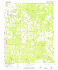
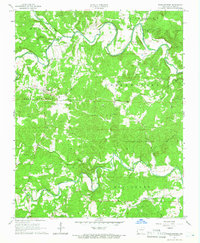
1962 Map of Ash Flat
USGS Topo · Published 1963About this map
Ash Flat and the surrounding terrain of Richwoods and Davidson anchor this early 1960s study of Sharp County. The landscape is characterized by an intricate network of narrow ridges and creek bottoms, including North Big Creek and Lave Creek. This period shows a rural community defined by its proximity to water and high ground, with numerous small burial grounds and country churches marking the social geography. Of particular interest to genealogists are the dispersed family and community sites like Hickory Grove Cem, Wiles Cem, and Liberty Hill Ch. Transportation in this era relied on local crossings, such as the Ford near Birchfield Branch, while the Center Lookout Tower at Center provides a glimpse into the forest management practices of the mid-20th century. The presence of a Quarry near Ash Flat suggests localized industry amid the predominantly agricultural and forested township divisions.
Find a feature on this map
37 named features on this map. Tap any name to fly to it.
Don’t see what you’re looking for? This feature index may not catch every label — zoom into the map to look around manually.
Map Details
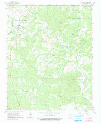
Editions of this 1962 Ash Flat Map
3 editions found
Other maps of this area

1957 · Poplar Bluff
USGS Topo · 1:250,000

1959 · Poplar Bluff
USGS Topo · 1:250,000

1960 · Poplar Bluff
USGS Topo · 1:250,000
1961 · Evening Shade
USGS Topo · 1:24,000

1962 · Stuart
USGS Topo · 1:24,000
1962 · Sidney
USGS Topo · 1:24,000

1962 · Myron
USGS Topo · 1:24,000

1962 · Agnos
USGS Topo · 1:24,000
1965 · Poughkeepsie
USGS Topo · 1:24,000

1968 · Hardy
USGS Topo · 1:24,000