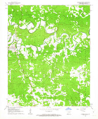
1961 Map of Evening Shade
USGS Topo · Published 1963About this map
Evening Shade serves as the central hub of this Sharp County landscape, situated where the Piney Fork meets the meandering Strawberry River. The topography is defined by significant ridges like Backbone and the prominent elevations of North Big Rock and South Big Rock. Settlement patterns here are tied closely to the river and its numerous tributaries, including Whaley Creek and Flat Creek, which carve through the land to create a complex network of hollows and rises.
Find a feature on this map
42 named features on this map. Tap any name to fly to it.
Don’t see what you’re looking for? This feature index may not catch every label — zoom into the map to look around manually.
Map Details
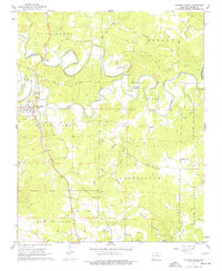
Editions of this 1961 Evening Shade Map
2 editions found
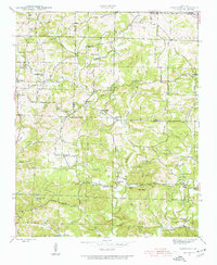
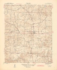
Other maps of this area

1890 · Batesville
USGS Topo · 1:125,000

1891 · Batesville
USGS Topo · 1:125,000

1932 · Strawberry
USGS Topo · 1:62,500

1935 · Strawberry
USGS Topo · 1:62,500

1941 · Strawberry
USGS Topo · 1:62,500
1943 · Sandtown
USGS Topo · 1:24,000
1943 · Cave City
USGS Topo · 1:31,680

1953 · Memphis
USGS Topo · 1:250,000

1956 · Memphis
USGS Topo · 1:250,000

1957 · Poplar Bluff
USGS Topo · 1:250,000