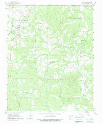
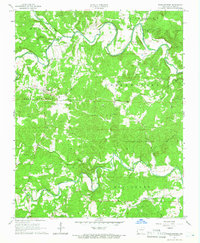
1962 Map of Ash Flat
USGS Topo · Published 1990About this map
The town of Ash Flat serves as a focal point in this early 1960s survey of Sharp County, situated at the junction of U.S. 167 and local roads. The landscape is defined by the complex drainage systems of North Big Creek and the Little Creek watershed, which divide the terrain into distinct districts such as Richwoods, Highland, and Morgan. This map reveals a community-centered rural structure, with numerous small churches and cemeteries scattered across the countryside, including Campground Ch and Wiles Cem.
Find a feature on this map
39 named features on this map. Tap any name to fly to it.
Don’t see what you’re looking for? This feature index may not catch every label — zoom into the map to look around manually.
Map Details
Editions of this 1962 Ash Flat Map
3 editions found
Other maps of this area

1957 · Poplar Bluff
USGS Topo · 1:250,000

1959 · Poplar Bluff
USGS Topo · 1:250,000

1960 · Poplar Bluff
USGS Topo · 1:250,000
1961 · Evening Shade
USGS Topo · 1:24,000

1962 · Stuart
USGS Topo · 1:24,000

1962 · Ash Flat
USGS Topo · 1:24,000
1962 · Sidney
USGS Topo · 1:24,000

1962 · Myron
USGS Topo · 1:24,000

1962 · Agnos
USGS Topo · 1:24,000
1965 · Poughkeepsie
USGS Topo · 1:24,000