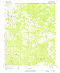
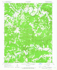
1962 Map of Ash Flat
USGS Topo · Published 1976About this map
Ash Flat serves as the primary hub in this corner of Sharp County, situated at the junction of several rural routes during the early 1960s. The landscape is defined by its numerous small burial grounds and country churches, which provide a detailed record of the area's rural genealogy. Locations like Hickory Grove Cem and the Liberty Hill Ch are well-documented, while the smaller Center settlement appears to the southeast.
Find a feature on this map
38 named features on this map. Tap any name to fly to it.
Don’t see what you’re looking for? This feature index may not catch every label — zoom into the map to look around manually.
Map Details
Editions of this 1962 Ash Flat Map
3 editions found
Other maps of this area

1957 · Poplar Bluff
USGS Topo · 1:250,000

1959 · Poplar Bluff
USGS Topo · 1:250,000

1960 · Poplar Bluff
USGS Topo · 1:250,000
1961 · Evening Shade
USGS Topo · 1:24,000

1962 · Stuart
USGS Topo · 1:24,000

1962 · Ash Flat
USGS Topo · 1:24,000
1962 · Sidney
USGS Topo · 1:24,000

1962 · Myron
USGS Topo · 1:24,000

1962 · Agnos
USGS Topo · 1:24,000
1965 · Poughkeepsie
USGS Topo · 1:24,000