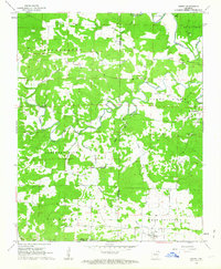
1962 Map of Sidney
USGS Topo · Published 1963About this map
The boundary between Izard Co Sharp Co divides this rural landscape as it appeared in the early 1960s, defined by the winding course of the Strawberry River and its many tributaries. The small settlement of Sidney serves as a primary point of reference in the south, while the aptly named Needmore lies further north along the Hamms Branch. The region is marked by a network of local roads connecting community pillars such as Antioch Ch, Bear Creek Ch, and Draytons Chapel.
Find a feature on this map
36 named features on this map. Tap any name to fly to it.
Don’t see what you’re looking for? This feature index may not catch every label — zoom into the map to look around manually.
Map Details
Editions of this 1962 Sidney Map
2 editions found
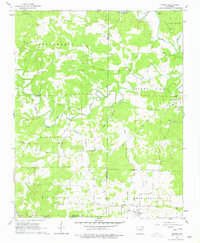
Other maps of this area

1890 · Batesville
USGS Topo · 1:125,000

1891 · Batesville
USGS Topo · 1:125,000

1942 · Mt Pleasant
USGS Topo · 1:31,680

1943 · Sandtown
USGS Topo · 1:24,000

1943 · Cave City
USGS Topo · 1:31,680

1951 · Melbourne
USGS Topo · 1:62,500

1953 · Memphis
USGS Topo · 1:250,000

1956 · Memphis
USGS Topo · 1:250,000

1957 · Poplar Bluff
USGS Topo · 1:250,000

1959 · Poplar Bluff
USGS Topo · 1:250,000