
1942 Map of Mt Pleasant
USGS Topo · Published 1945About this map
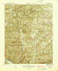
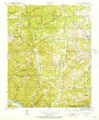
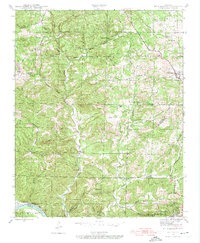
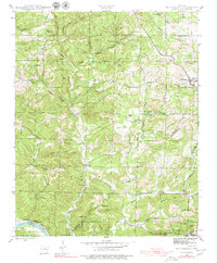
Lafferty Creek and the White River define the drainage of this dissected landscape in the early 1940s, where the border of Izard and Independence counties meets. The settlement of Mt Pleasant serves as a local hub, while the presence of the Clubhouse Mine and Clubhouse Extension Mines near Cushman indicates a period of active mineral extraction in the region. This industry is contrasted by a network of small upland communities and rural landmarks such as Gid and Edmonson.
Find a feature on this map
46 named features on this map. Tap any name to fly to it.
Don’t see what you’re looking for? This feature index may not catch every label — zoom into the map to look around manually.
Map Details
Editions of this 1942 Mt Pleasant Map
5 editions found
Other maps of this area

1890 · Batesville
USGS Topo · 1:125,000

1891 · Batesville
USGS Topo · 1:125,000

1942 · Bethesda
USGS Topo · 1:24,000

1942 · Batesville
USGS Topo · 1:31,680

1943 · Sandtown
USGS Topo · 1:24,000

1943 · Batesville
USGS Topo · 1:24,000

1951 · Melbourne
USGS Topo · 1:62,500

1953 · Memphis
USGS Topo · 1:250,000

1956 · Memphis
USGS Topo · 1:250,000

1957 · Poplar Bluff
USGS Topo · 1:250,000