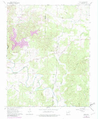
1962 Map of Myron
USGS Topo · Published 1982About this map
The Strawberry River meanders across this Ozark landscape, marking a transition between the established rural settlements of Myron and Franklin and the burgeoning recreational development at Horseshoe Bend. Photogrammetric revisions from 1980 highlight the emergence of Crown Lake and Diamond Lake, signaling a shift toward vacation-oriented land use in northern Arkansas. These man-made reservoirs contrasts with the older agricultural and communal footprint defined by numerous small family and church burial grounds, including Bates Cem, Godwin Cem, and Hills Chapel Cem. Along the banks of the river and its many tributaries, such as Hinson Branch and Wildcat Creek, the terrain rises toward Davidson Hill and Baker Hill. The map also captures local industry through a namesake Quarry and a primitive Landing Strip, providing a detailed look at Izard County as it balanced traditional river-valley life with new mid-century infrastructure.
Find a feature on this map
32 named features on this map. Tap any name to fly to it.
Don’t see what you’re looking for? This feature index may not catch every label — zoom into the map to look around manually.
Map Details
Editions of this 1962 Myron Map
3 editions found

Other maps of this area

1950 · Salem
USGS Topo · 1:62,500

1951 · Salem
USGS Topo · 1:62,500

1951 · Melbourne
USGS Topo · 1:62,500

1957 · Poplar Bluff
USGS Topo · 1:250,000

1959 · Poplar Bluff
USGS Topo · 1:250,000

1960 · Poplar Bluff
USGS Topo · 1:250,000
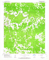
1961 · Evening Shade
USGS Topo · 1:24,000

1962 · Stuart
USGS Topo · 1:24,000

1962 · Ash Flat
USGS Topo · 1:24,000
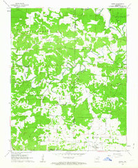
1962 · Sidney
USGS Topo · 1:24,000