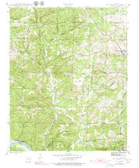
1942 Map of Mt Pleasant
USGS Topo · Published 1979About this map
The White River forms a natural boundary in this rugged section of the Ozark foothills, where small communities like Mt Pleasant and Gid anchor the rural landscape. In the early 1940s, the region supported several small country schools and churches, including Macedonia Sch, Mt Etna Sch, and the New Home Ch. Manganese mining activity is evident in the southeastern corner near Cushman, where the Clubhouse Mine and Clubhouse Extension Mines operated along the hillsides.
Find a feature on this map
70 named features on this map. Tap any name to fly to it.
Don’t see what you’re looking for? This feature index may not catch every label — zoom into the map to look around manually.
Map Details
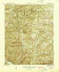
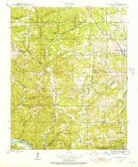
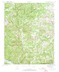
Editions of this 1942 Mt Pleasant Map
5 editions found
Other maps of this area

1890 · Batesville
USGS Topo · 1:125,000

1891 · Batesville
USGS Topo · 1:125,000

1942 · Bethesda
USGS Topo · 1:24,000

1942 · Batesville
USGS Topo · 1:31,680

1942 · Mt Pleasant
USGS Topo · 1:31,680

1943 · Sandtown
USGS Topo · 1:24,000

1943 · Batesville
USGS Topo · 1:24,000

1951 · Melbourne
USGS Topo · 1:62,500

1953 · Memphis
USGS Topo · 1:250,000

1956 · Memphis
USGS Topo · 1:250,000