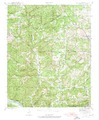
1942 Map of Mt Pleasant
USGS Topo · Published 1974About this map
The rugged topography of the Ozark foothills at the junction of Izard, Stone, and Independence Counties defines this 1942 landscape. The southern edge of the map is dominated by the White River and the Missouri Pacific rail line, which served the mining interests of the region. Near the settlement of Cushman, the Clubhouse Mine and Clubhouse Extension Mines highlight the area's industrial history, while smaller communities like Gid and Mt Pleasant center around local institutions such as Gid Sch and Mt Lebanon Ch.
Find a feature on this map
48 named features on this map. Tap any name to fly to it.
Don’t see what you’re looking for? This feature index may not catch every label — zoom into the map to look around manually.
Map Details
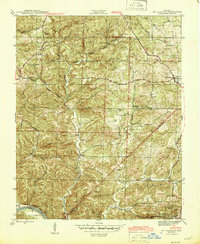
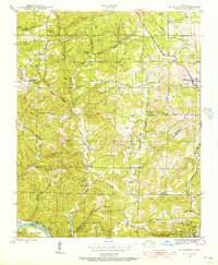
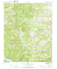
Editions of this 1942 Mt Pleasant Map
5 editions found
Other maps of this area

1890 · Batesville
USGS Topo · 1:125,000

1891 · Batesville
USGS Topo · 1:125,000

1942 · Bethesda
USGS Topo · 1:24,000

1942 · Batesville
USGS Topo · 1:31,680

1942 · Mt Pleasant
USGS Topo · 1:31,680

1943 · Sandtown
USGS Topo · 1:24,000

1943 · Batesville
USGS Topo · 1:24,000

1951 · Melbourne
USGS Topo · 1:62,500

1953 · Memphis
USGS Topo · 1:250,000

1956 · Memphis
USGS Topo · 1:250,000