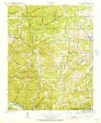
1942 Map of Mt Pleasant
USGS Topo · Published 1956About this map
Cushman Mines and the Clubhouse Mine define the industrial landscape of the southeastern corner of this quadrangle, signaling the area's importance in mineral extraction during the mid-20th century. The settlement of Mt Pleasant serves as a local hub, while the Missouri Pacific River Line tracks the southern border along the White River. This 1942 survey captures a rural Ozark community organized around family-named hills and hollows, such as Reeves Hill and Tanner Hollow, where local life centered on small schoolhouses and churches like Cedar Grove Sch and Mt Lebanon Ch.
Find a feature on this map
82 named features on this map. Tap any name to fly to it.
Don’t see what you’re looking for? This feature index may not catch every label — zoom into the map to look around manually.
Map Details
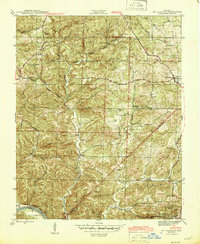
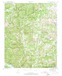
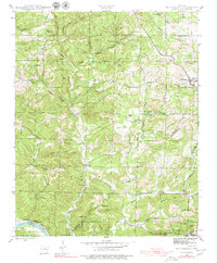
Editions of this 1942 Mt Pleasant Map
5 editions found
Other maps of this area

1890 · Batesville
USGS Topo · 1:125,000

1891 · Batesville
USGS Topo · 1:125,000

1942 · Bethesda
USGS Topo · 1:24,000

1942 · Batesville
USGS Topo · 1:31,680

1942 · Mt Pleasant
USGS Topo · 1:31,680

1943 · Sandtown
USGS Topo · 1:24,000

1943 · Batesville
USGS Topo · 1:24,000

1951 · Melbourne
USGS Topo · 1:62,500

1953 · Memphis
USGS Topo · 1:250,000

1956 · Memphis
USGS Topo · 1:250,000