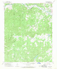
1968 Map of Ravenden
USGS Topo · Published 1969About this map
The Spring River and its tributary canyons dominate this portion of the Ozark foothills, where the St Louis-San Francisco River railroad line follows the water's edge through Williford and Ravenden. This 1960s survey illustrates a landscape deeply etched by drainage patterns, from Oliver Creek in the north to the Strawberry River along the southern boundary. Between these rivers, the terrain is defined by a series of prominent ridges, including North Lebanon Ridge and Van Wagoner Ridge, which dictate the placement of rural homesteads and upland roads.
Find a feature on this map
45 named features on this map. Tap any name to fly to it.
Don’t see what you’re looking for? This feature index may not catch every label — zoom into the map to look around manually.
Map Details
Editions of this 1968 Ravenden Map
3 editions found
Other maps of this area

1934 · Powhatan
USGS Topo · 1:62,500

1935 · Powhatan
USGS Topo · 1:62,500

1957 · Poplar Bluff
USGS Topo · 1:250,000

1959 · Poplar Bluff
USGS Topo · 1:250,000

1960 · Poplar Bluff
USGS Topo · 1:250,000
1965 · Poughkeepsie
USGS Topo · 1:24,000
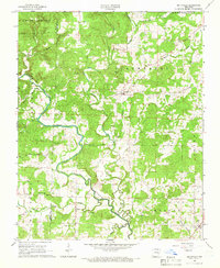
1965 · Smithville
USGS Topo · 1:24,000

1966 · Ravenden Springs
USGS Topo · 1:24,000
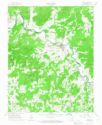
1966 · Imboden
USGS Topo · 1:24,000
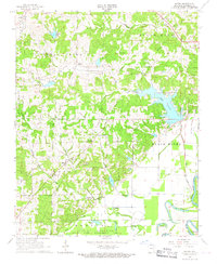
1966 · Eaton
USGS Topo · 1:24,000