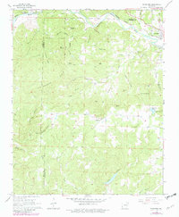
1968 Map of Ravenden
USGS Topo · Published 1982About this map
Spring River snakes across the northern border of this Ozark foothills landscape, anchoring the settlements of Williford and Ravenden. The Burlington Northern railroad follows the river's winding course, tracing a transportation corridor through Sharp and Lawrence counties. Inland from the river valley, the terrain is defined by prominent elevations such as Van Wagoner Ridge, Bald Knob, and Field Mountain, separated by a complex network of hollows and creeks. Local life is documented through scattered landmarks like Friendship Ch and several family or community burial grounds including Opposition Cem and Dail Cem. The mapping shows a rural landscape of ridges and valleys, where natural features like Wautauga Spring and Little Joe Lake provided water sources for the upland farms and homesteads found throughout the hollows.
Find a feature on this map
46 named features on this map. Tap any name to fly to it.
Don’t see what you’re looking for? This feature index may not catch every label — zoom into the map to look around manually.
Map Details
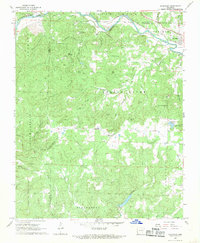
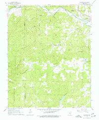
Editions of this 1968 Ravenden Map
3 editions found
Other maps of this area

1934 · Powhatan
USGS Topo · 1:62,500

1935 · Powhatan
USGS Topo · 1:62,500

1957 · Poplar Bluff
USGS Topo · 1:250,000

1959 · Poplar Bluff
USGS Topo · 1:250,000

1960 · Poplar Bluff
USGS Topo · 1:250,000
1965 · Poughkeepsie
USGS Topo · 1:24,000
1965 · Smithville
USGS Topo · 1:24,000

1966 · Ravenden Springs
USGS Topo · 1:24,000
1966 · Imboden
USGS Topo · 1:24,000
1966 · Eaton
USGS Topo · 1:24,000