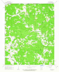
1962 Map of Camp
USGS Topo · Published 1963About this map
Myatt Creek and the South Fork river systems define the landscape of this 1962 survey, which captures the rural borderlands between Fulton County, Arkansas, and the Missouri state line. The area is characterized by a high concentration of family-named hollows and springs, such as Thornton Hollow and Glass Hollow, indicating a pattern of settlement deeply tied to the local topography and water sources.
Find a feature on this map
41 named features on this map. Tap any name to fly to it.
Don’t see what you’re looking for? This feature index may not catch every label — zoom into the map to look around manually.
Map Details
Editions of this 1962 Camp Map
2 editions found
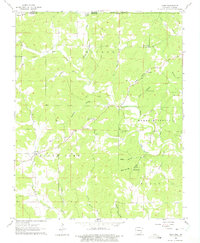
Other maps of this area

1943 · Thayer
USGS Topo · 1:62,500

1944 · West Plains
USGS Topo · 1:62,500

1946 · Thayer
USGS Topo · 1:62,500

1946 · West Plains
USGS Topo · 1:62,500

1950 · Salem
USGS Topo · 1:62,500

1951 · Salem
USGS Topo · 1:62,500

1957 · Poplar Bluff
USGS Topo · 1:250,000

1959 · Poplar Bluff
USGS Topo · 1:250,000

1960 · Poplar Bluff
USGS Topo · 1:250,000

1962 · Stuart
USGS Topo · 1:24,000