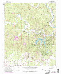
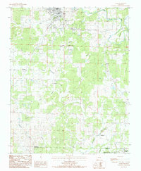
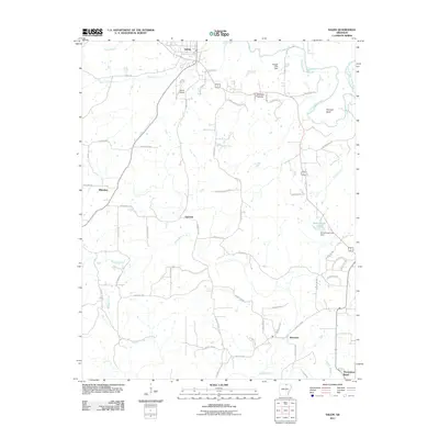
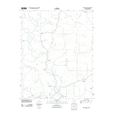
1950 Map of Salem
USGS Topo · Published 1973About this map
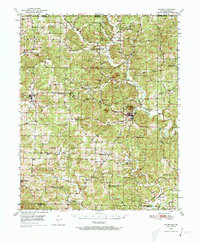
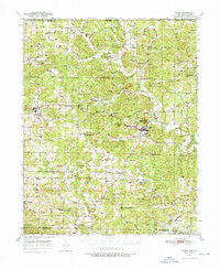
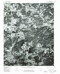
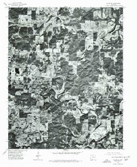
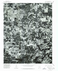
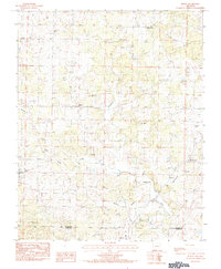
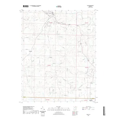
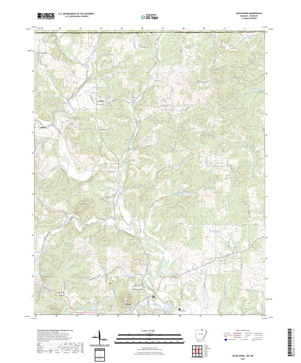
The town of Salem anchors this mid-century survey of the Ozark foothills, serving as a hub for the surrounding rural townships of Washington, Cleveland, and Strawberry. The landscape is defined by the winding course of the Strawberry River and its tributaries, such as Greasy Creek and Wildcat Creek, which carved the undulating terrain into prominent landmarks like Wallace Knob and Turkey Knob. The map reveals a tight-knit network of country institutions that served the local farming communities, including the Liberty Hill Sch and Wesley Chapel.
Find a feature on this map
59 named features on this map. Tap any name to fly to it.
Don’t see what you’re looking for? This feature index may not catch every label — zoom into the map to look around manually.
Map Details
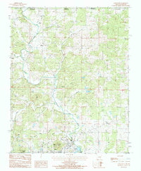
Editions of this 1950 Salem Map
2 editions found
Historical Maps of Horseshoe Bend Through Time
55 maps found
1950 Salem
Fulton County, AR

1951 Salem
Fulton County, AR
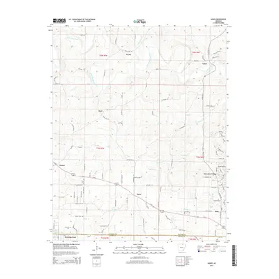
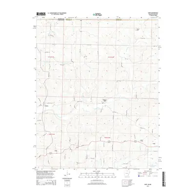
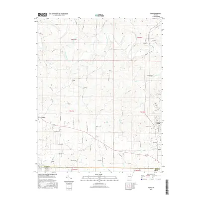
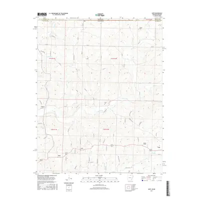
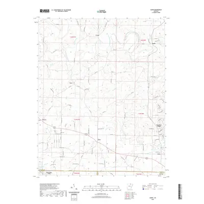
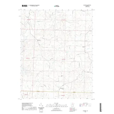
1962 Agnos
Fulton County, AR
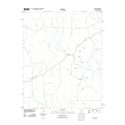
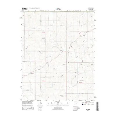
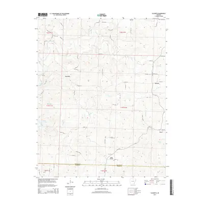
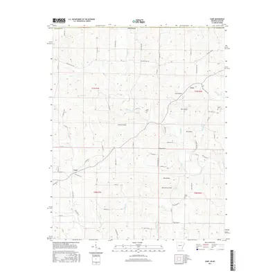
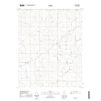
1962 Camp
Fulton County, AR
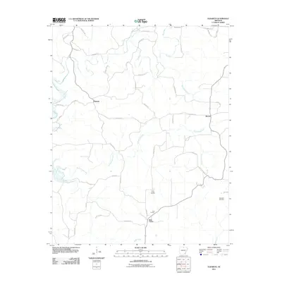
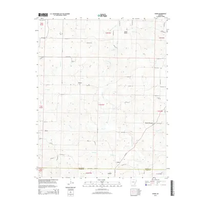
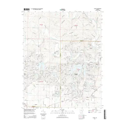
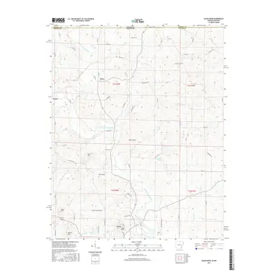
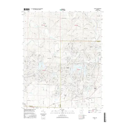
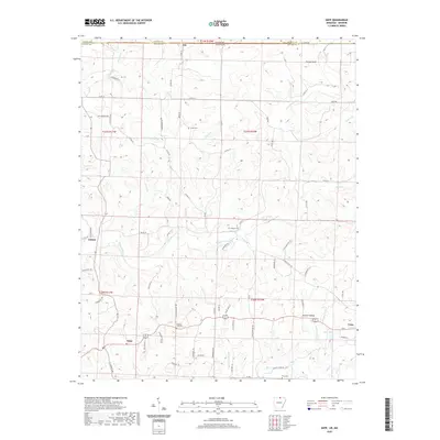
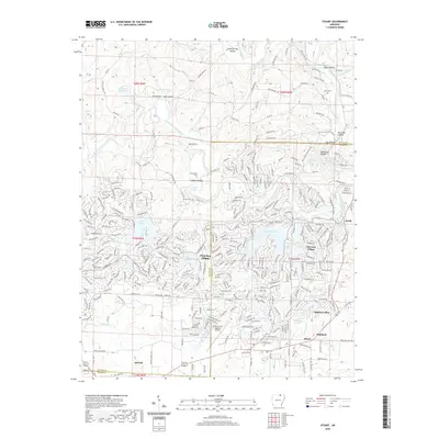
1962 Stuart
Fulton County, AR
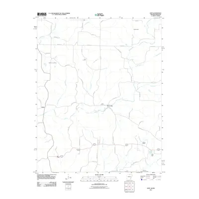
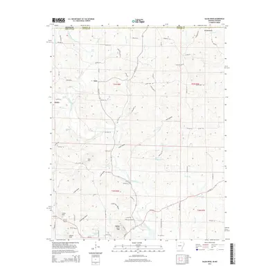
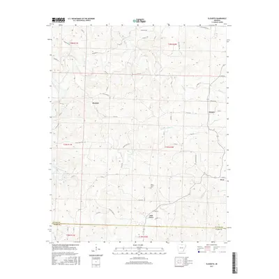
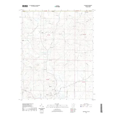
1966 Elizabeth
Fulton County, AR
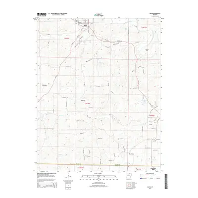
1966 Gepp
Fulton County, AR
1976 Salem NE
Fulton County, AR
1976 Salem NW
Fulton County, AR
1976 Salem SE
Fulton County, AR
1976 Salem SW
Fulton County, AR
1984 Byron
Fulton County, AR
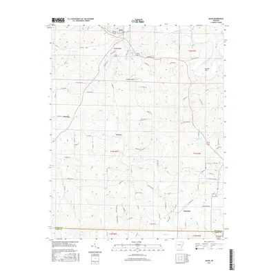
1984 Salem
Fulton County, AR
1984 Salem Knob
Fulton County, AR
2011 Agnos
Fulton County, AR
2011 Byron
Fulton County, AR
2011 Camp
Fulton County, AR
2011 Elizabeth
Fulton County, AR
2011 Gepp
Fulton County, AR
2011 Salem
Fulton County, AR
2011 Salem Knob
Fulton County, AR

2011 Stuart
Fulton County, AR
2014 Agnos
Fulton County, AR
2014 Byron
Fulton County, AR
2014 Camp
Fulton County, AR
2014 Elizabeth
Fulton County, AR
2014 Gepp
Fulton County, AR
2014 Salem
Fulton County, AR
2014 Salem Knob
Fulton County, AR
2014 Stuart
Fulton County, AR
2017 Agnos
Fulton County, AR
2017 Byron
Fulton County, AR
2017 Camp
Fulton County, AR
2017 Elizabeth
Fulton County, AR
2017 Gepp
Fulton County, AR
2017 Salem
Fulton County, AR
2017 Salem Knob
Fulton County, AR
2017 Stuart
Fulton County, AR
2020 Agnos
Fulton County, AR
2020 Byron
Fulton County, AR
2020 Camp
Fulton County, AR
2020 Elizabeth
Fulton County, AR
2020 Gepp
Fulton County, AR
2020 Salem
Fulton County, AR
2020 Salem Knob
Fulton County, AR
2020 Stuart
Fulton County, AR
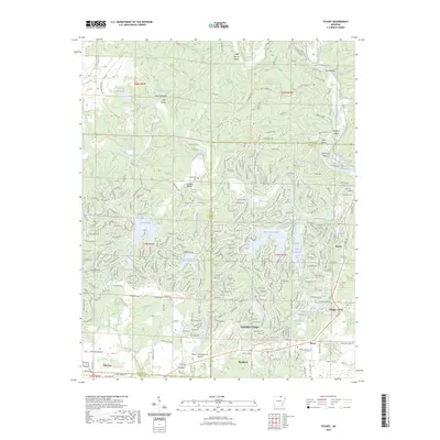
2023 Stuart
Fulton County, AR
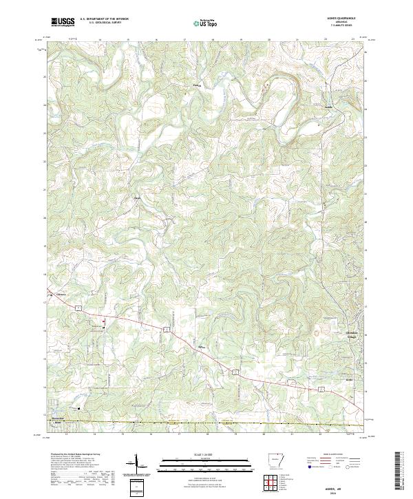
2024 Agnos
Fulton County, AR
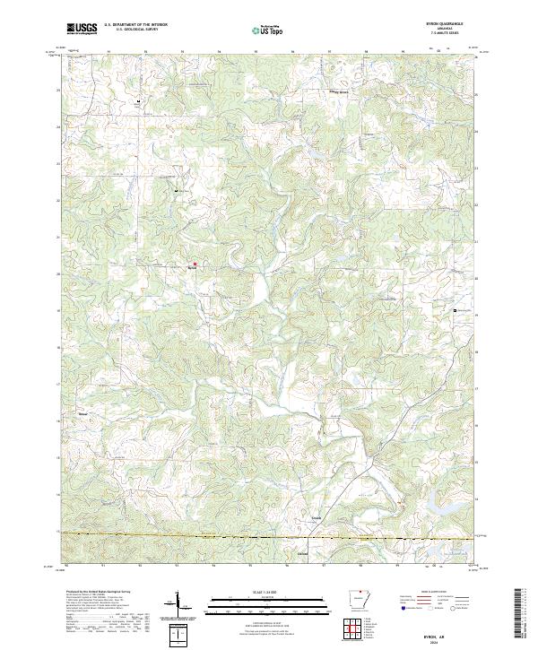
2024 Byron
Fulton County, AR
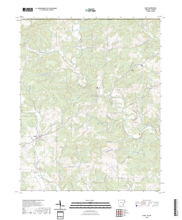
2024 Camp
Fulton County, AR
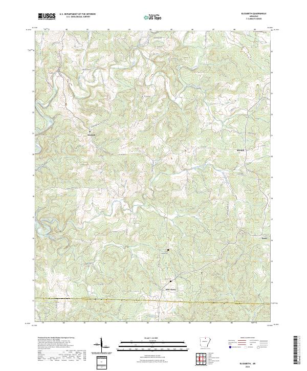
2024 Elizabeth
Fulton County, AR
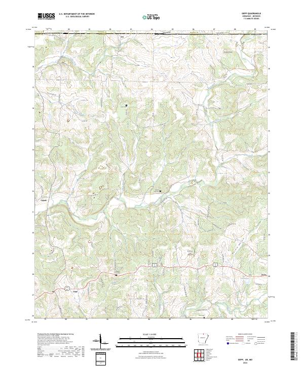
2024 Gepp
Fulton County, AR
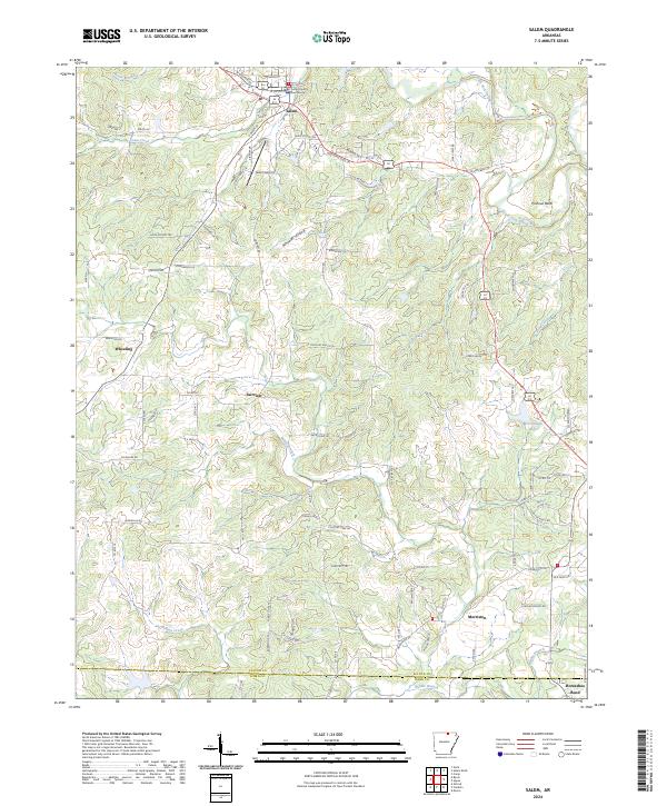
2024 Salem
Fulton County, AR
2024 Salem Knob
Fulton County, AR
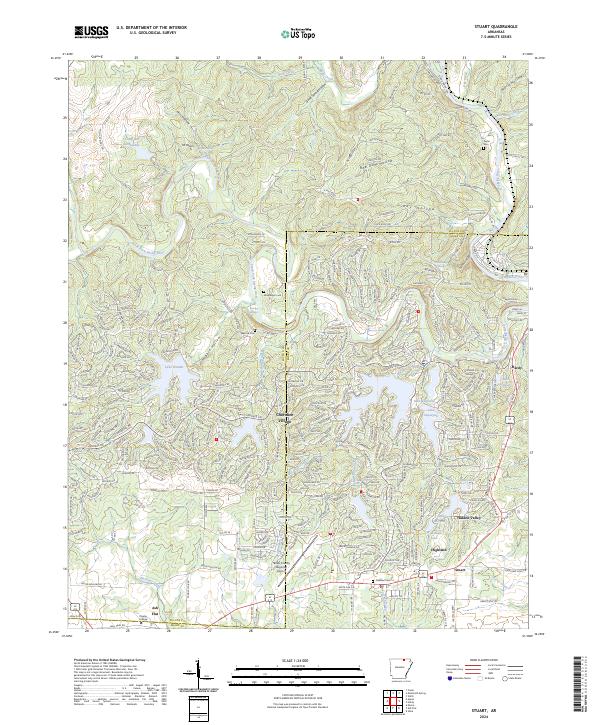
2024 Stuart
Fulton County, AR