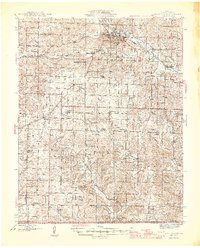
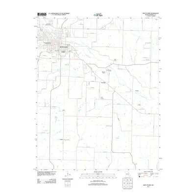
1946 Map of West Plains
USGS Topo · Published 1946About this map
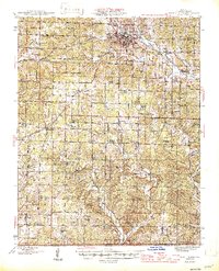
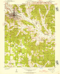
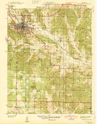
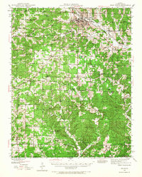
West Plains serves as the regional anchor of this Howell County landscape, situated at the junction of the St Louis San Francisco railroad and several primary roads. In the mid-1940s, the surrounding Ozark foothills were densely patterned with rural institutions, including a remarkably high concentration of country schools such as Blue Mound Sch, Homeland Sch, and Evergreen Sch. The map reveals a community structured around small watercourses like Howell Creek and the South Fork Spring River, where numerous springs like Gladden Spr and Bunt Spr provided essential water sources. Genealogists will find significant value in the documentation of remote burial sites like Mc Elmery Cem and Meltabarger Cem, alongside small settlements including Moody and Lanton near the Arkansas border.
Find a feature on this map
59 named features on this map. Tap any name to fly to it.
Don’t see what you’re looking for? This feature index may not catch every label — zoom into the map to look around manually.
Map Details
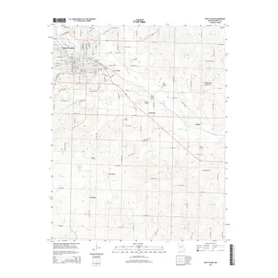
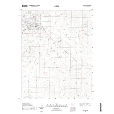
Editions of this 1946 West Plains Map
2 editions found
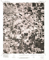
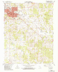
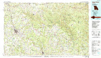
Historical Maps of West Plains Through Time
11 maps found
1938 West Plains
Howell County, MO
1940 West Plains
Howell County, MO
1944 West Plains
Howell County, MO
1946 West Plains
Howell County, MO
1976 West Plains
Howell County, MO
1983 West Plains
Howell County, MO
1984 West Plains
Howell County, MO
2011 West Plains
Howell County, MO
2015 West Plains
Howell County, MO
2017 West Plains
Howell County, MO
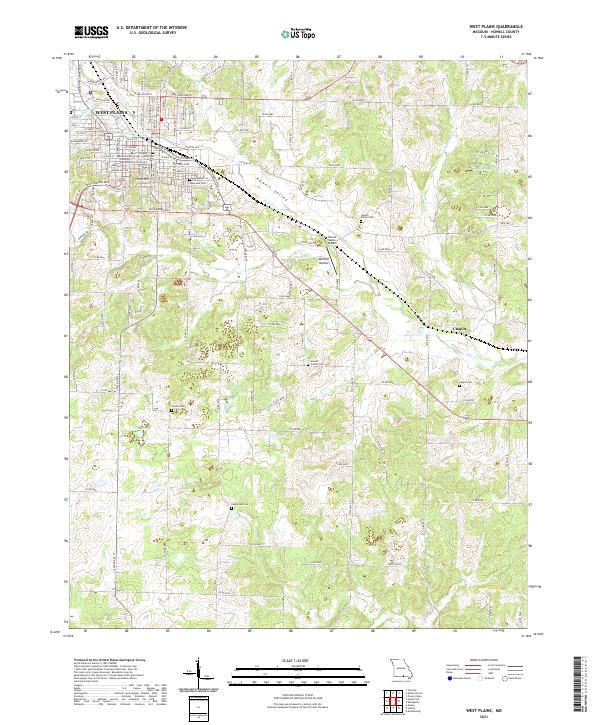
2021 West Plains
Howell County, MO