
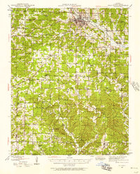
1941 Map of Topaz
USGS Topo · Published 1941About this map
North Fork River and its numerous tributaries, including Bess Creek and Spring Creek, carve through the Ozark landscape of Douglas, Howell, and Ozark Counties in this late 1930s survey. The map reveals a highly decentralized rural economy characterized by small, family-run general stores such as Holt Store, Woods Store, Fields Store, and Omba Store. These hubs, along with the industrial site at Hammonds Mill, suggest a society reliant on local trade and water-powered milling before larger regional centers took hold.
Find a feature on this map
87 named features on this map. Tap any name to fly to it.
Don’t see what you’re looking for? This feature index may not catch every label — zoom into the map to look around manually.
Map Details
Editions of this 1941 Topaz Map
This is the sole edition of this map. No revisions or reprints were ever made.
Other maps of this area
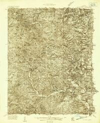
1934 · Gainesville
USGS Topo · 1:48,000

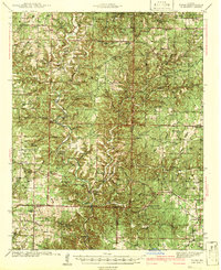
1937 · Buckhart
USGS Topo · 1:48,000
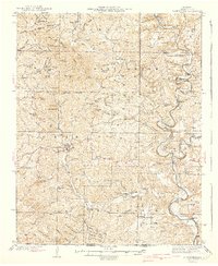
1939 · Topaz
USGS Topo · 1:62,500
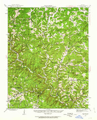
1940 · Gainesville
USGS Topo · 1:62,500
1943 · Buckhart
USGS Topo · 1:62,500
1944 · West Plains
USGS Topo · 1:62,500
1944 · Cureall
USGS Topo · 1:62,500

1945 · Harrison
USGS Topo · 1:250,000

1945 · Buckhart
USGS Topo · 1:62,500
1945 · Willow Springs
USGS Topo · 1:62,500