
1945 Map of Willow Springs
USGS Topo · Published 1954About this map
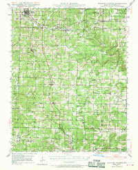
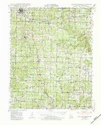
Willow Springs serves as the commercial hub of this Howell County landscape, where the St Louis San Francisco railroad and arterial roads like Route 60 converge. The mapping reveals a highly localized rural network defined by its small schools and community churches, such as College Hill Sch and Antioch Ch, spaced for a population still traveling primarily by local roads. The Eleven Point River and its many tributaries, including Spring Creek and Lost Camp Creek, carve through the Ozark terrain, influencing the placement of settlements like Pomona and Olden. This era's infrastructure is further marked by the presence of Sky Haven Airport south of Gunter, and numerous family-named landmarks like Walkers Chapel and the Rowe Cem that provide valuable points of reference for genealogical research.
Find a feature on this map
84 named features on this map. Tap any name to fly to it.
Don’t see what you’re looking for? This feature index may not catch every label — zoom into the map to look around manually.
Map Details
Editions of this 1945 Willow Springs Map
3 editions found
Other maps of this area

1938 · West Plains
USGS Topo · 1:24,000

1939 · Topaz
USGS Topo · 1:62,500

1940 · West Plains
USGS Topo · 1:24,000

1941 · Topaz
USGS Topo · 1:62,500

1943 · Thayer
USGS Topo · 1:62,500

1944 · West Plains
USGS Topo · 1:62,500

1944 · Cureall
USGS Topo · 1:62,500

1945 · Harrison
USGS Topo · 1:250,000

1945 · Montier
USGS Topo · 1:62,500

1945 · Clear Springs
USGS Topo · 1:62,500