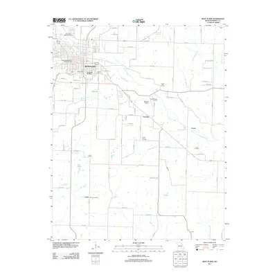
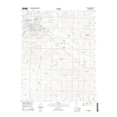
1940 Map of West Plains
USGS Topo · Published 1940About this map
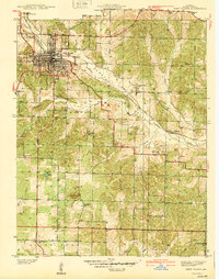
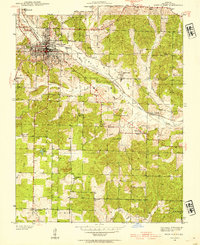
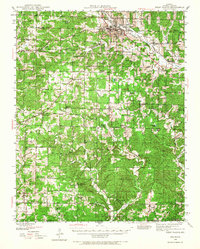
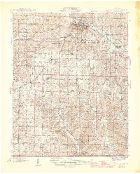
West Plains serves as the focal point of this 1940s-era topographic survey, revealing a well-defined urban grid at the intersection of the St Louis San Francisco railroad and local trade routes. The landscape transitions quickly from the town’s civic spaces like Peoples Park and American Legion Field into the agricultural expanses of Howell Valley. This period of Ozark history is marked by a dense network of small rural institutions, including numerous schools like Galloway Sch and Valley View Sch that supported local farming families.
Find a feature on this map
40 named features on this map. Tap any name to fly to it.
Don’t see what you’re looking for? This feature index may not catch every label — zoom into the map to look around manually.
Map Details
Editions of this 1940 West Plains Map
This is the sole edition of this map. No revisions or reprints were ever made.
Historical Maps of West Plains Through Time
11 maps found
1938 West Plains
Howell County, MO
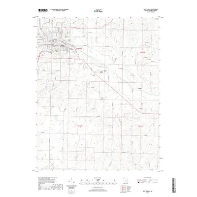
1940 West Plains
Howell County, MO
1944 West Plains
Howell County, MO
1946 West Plains
Howell County, MO
1976 West Plains
Howell County, MO
1983 West Plains
Howell County, MO
1984 West Plains
Howell County, MO
2011 West Plains
Howell County, MO
2015 West Plains
Howell County, MO
2017 West Plains
Howell County, MO
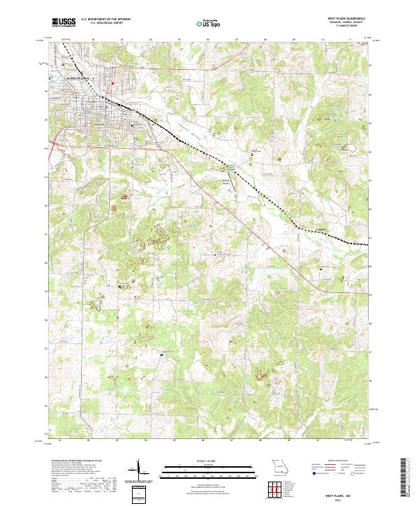
2021 West Plains
Howell County, MO