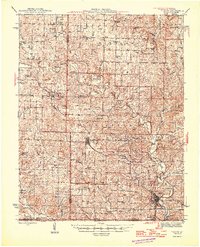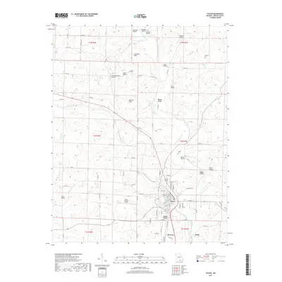
1943 Map of Thayer
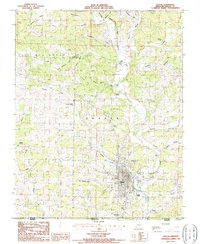
USGS Topo · Published 1963About this map
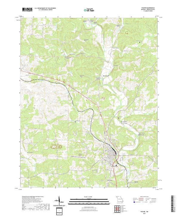
The St Louis San Francisco railroad anchors the landscape of this 1943 survey, connecting the hilltop settlements of Brandsville, Koshkonong, and Thayer. Located along the Missouri and Arkansas border, the area is defined by the complex hydrology of the Ozarks, where the Spring River begins to take shape. Dramatic karst features like the Grand Gulf and Harbeston Sink reflect the underlying limestone geology, while dozens of named springs, including Jolliff Spr and Heimer Spr, provided critical water sources for the rural communities of the 1940s. A dense network of one-room schoolhouses, such as Oak Grove Sch and Big Apple Sch, and rural meeting houses like Victory Mission Ch, reveals a highly localized social fabric. The presence of numerous river crossings, including Elliott Ford and Sloan Ford, underscores a period when local travel still relied heavily on traditional wagon routes and low-water fords.
Find a feature on this map
93 named features on this map. Tap any name to fly to it.
Don’t see what you’re looking for? This feature index may not catch every label — zoom into the map to look around manually.
Map Details
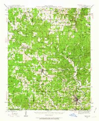
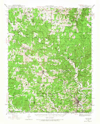
Editions of this 1943 Thayer Map
2 editions found
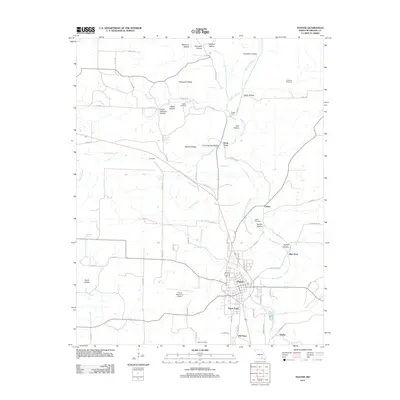
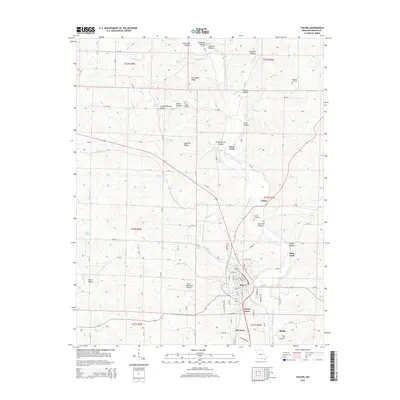
Historical Maps of Thayer Through Time
7 maps found