
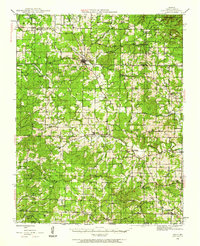
1944 Map of Couch
USGS Topo · Published 1960About this map
Alton serves as a prominent hub in this 1944 survey of Oregon County, where the landscape is defined by the dense woodlands of the Mark Twain National Forest. The map documents a deeply established rural network of small communities and family-named landmarks just before the mid-century. A high density of country schools and houses of worship, such as Smyrna Sch and Huddleston Ch, suggests a period of active local life in the Ozark foothills.
Find a feature on this map
76 named features on this map. Tap any name to fly to it.
Don’t see what you’re looking for? This feature index may not catch every label — zoom into the map to look around manually.
Map Details
Editions of this 1944 Couch Map
2 editions found
Other maps of this area

1931 · Bandyville
USGS Topo · 1:48,000

1941 · Gatewood
USGS Topo · 1:62,500

1943 · Thayer
USGS Topo · 1:62,500

1944 · Van Buren
USGS Topo · 1:62,500

1944 · Birch Tree
USGS Topo · 1:62,500

1945 · Gatewood
USGS Topo · 1:62,500

1945 · Montier
USGS Topo · 1:62,500

1946 · Thayer
USGS Topo · 1:62,500

1946 · Couch
USGS Topo · 1:62,500

1946 · Van Buren
USGS Topo · 1:62,500