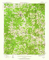
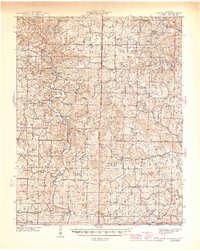
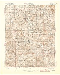
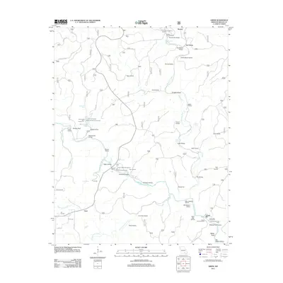
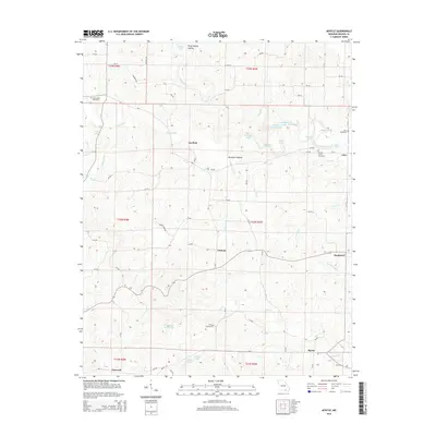
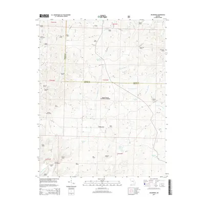
1944 Map of Couch
USGS Topo · Published 1962About this map
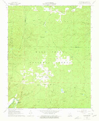
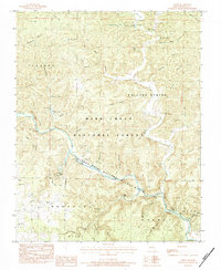
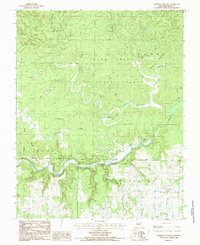
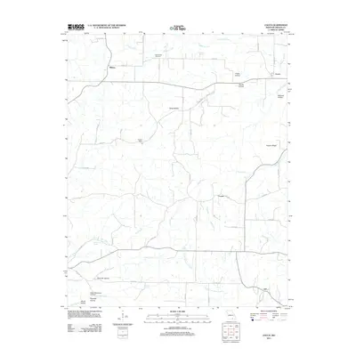
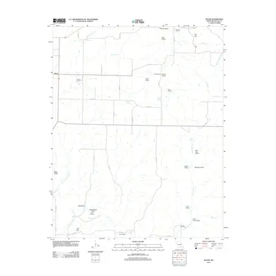
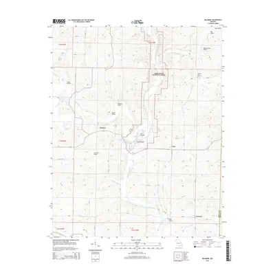
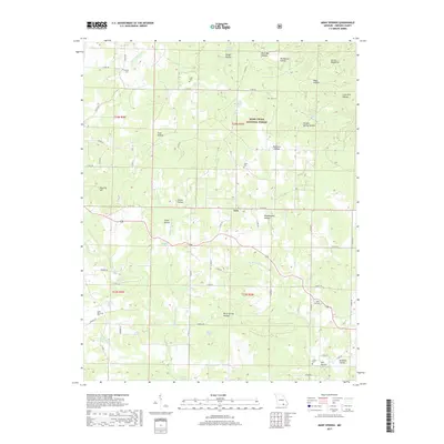
The town of Alton serves as the central hub for this 1944 Oregon County survey, situated just north of the Clark National Forest boundary. The landscape is defined by the deep dissection of Piney Creek and Many Springs Creek, with dozens of named hollows such as Lime Kiln Hollow and Sisco Hollow branching through the limestone terrain. This era shows a dense network of rural infrastructure, with small country schools like Royal Oak Sch and Barren Hollow Sch serving isolated hollow communities that relied on local springs, including Many Springs and Williams Spr, for water.
Find a feature on this map
105 named features on this map. Tap any name to fly to it.
Don’t see what you’re looking for? This feature index may not catch every label — zoom into the map to look around manually.
Map Details
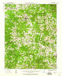
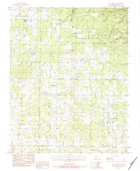
Editions of this 1944 Couch Map
2 editions found
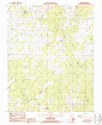
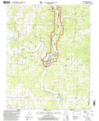
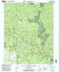
Historical Maps of Alton Through Time
59 maps found
1931 Bandyville
Oregon County, MO
1941 Gatewood
Oregon County, MO
1944 Couch
Oregon County, MO
1945 Gatewood
Oregon County, MO
1946 Couch
Oregon County, MO
1965 Riverton
Oregon County, MO
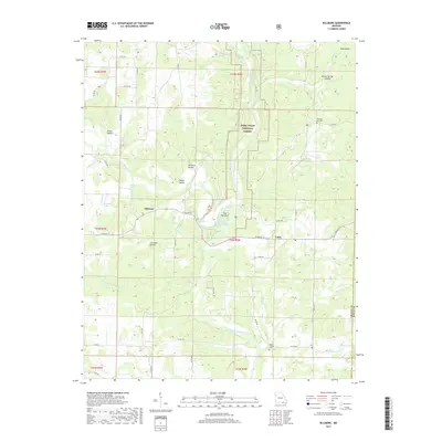
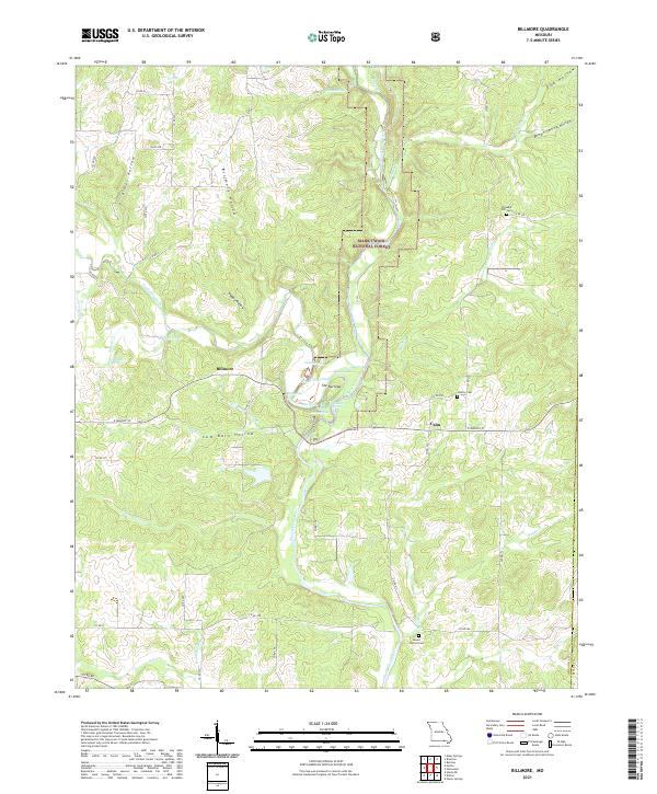
1966 Billmore
Oregon County, MO
1968 Wilderness
Oregon County, MO
1976 Thayer SE
Oregon County, MO
1982 Couch
Oregon County, MO
1982 Piedmont Hollow
Oregon County, MO
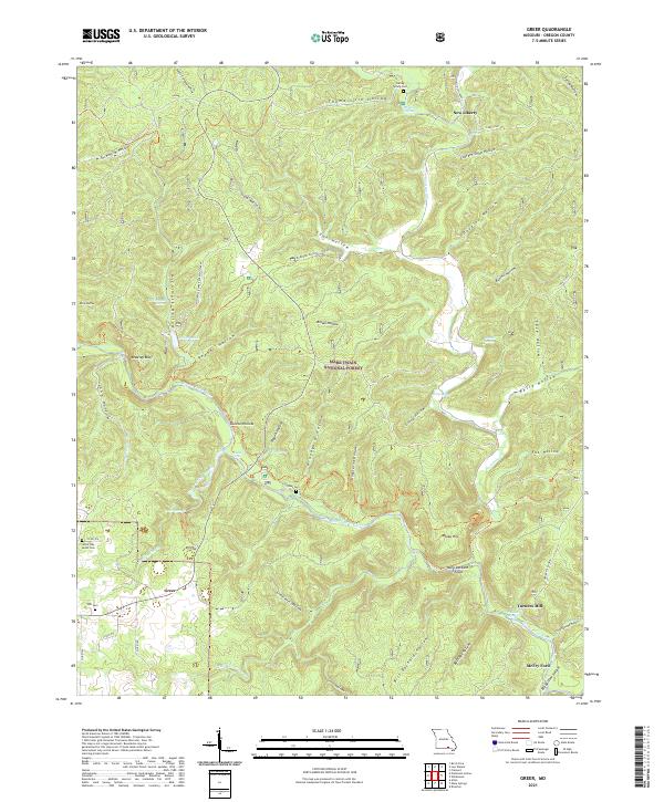
1983 Greer
Oregon County, MO
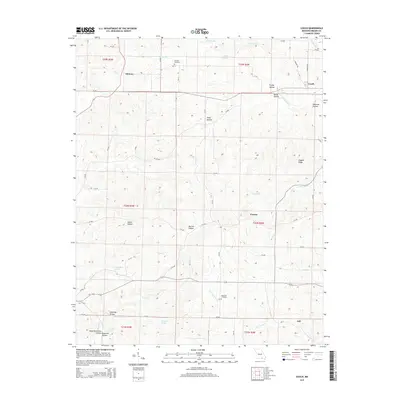
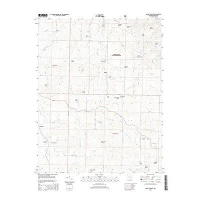
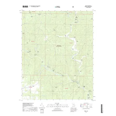
1983 Many Springs
Oregon County, MO
1984 Couch
Oregon County, MO
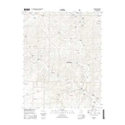
1984 Myrtle
Oregon County, MO
1984 Piedmont Hollow
Oregon County, MO
1986 Rover
Oregon County, MO
1997 Billmore
Oregon County, MO
1997 Greer
Oregon County, MO
1997 Many Springs
Oregon County, MO

1997 Piedmont Hollow
Oregon County, MO
1997 Riverton
Oregon County, MO
1997 Wilderness
Oregon County, MO
2011 Couch
Oregon County, MO
2011 Greer
Oregon County, MO
2011 Many Springs
Oregon County, MO
2011 Myrtle
Oregon County, MO
2011 Riverton
Oregon County, MO
2011 Rover
Oregon County, MO
2012 Billmore
Oregon County, MO
2012 Piedmont Hollow
Oregon County, MO
2012 Wilderness
Oregon County, MO
2015 Billmore
Oregon County, MO
2015 Couch
Oregon County, MO
2015 Greer
Oregon County, MO
2015 Many Springs
Oregon County, MO
2015 Myrtle
Oregon County, MO
2015 Piedmont Hollow
Oregon County, MO
2015 Riverton
Oregon County, MO
2015 Rover
Oregon County, MO
2015 Wilderness
Oregon County, MO
2017 Billmore
Oregon County, MO
2017 Couch
Oregon County, MO
2017 Greer
Oregon County, MO
2017 Many Springs
Oregon County, MO
2017 Myrtle
Oregon County, MO
2017 Piedmont Hollow
Oregon County, MO
2017 Riverton
Oregon County, MO
2017 Rover
Oregon County, MO
2017 Wilderness
Oregon County, MO
2021 Billmore
Oregon County, MO

2021 Couch
Oregon County, MO
2021 Greer
Oregon County, MO
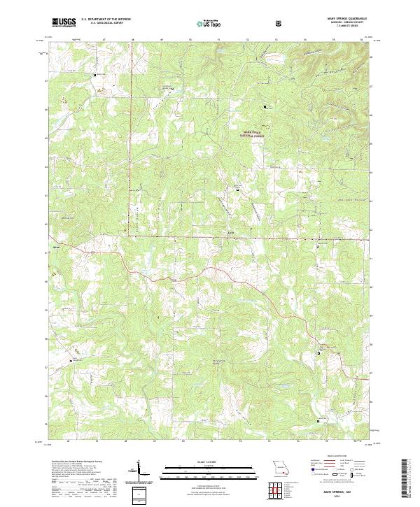
2021 Many Springs
Oregon County, MO
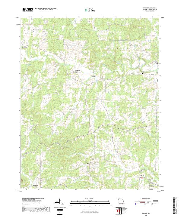
2021 Myrtle
Oregon County, MO
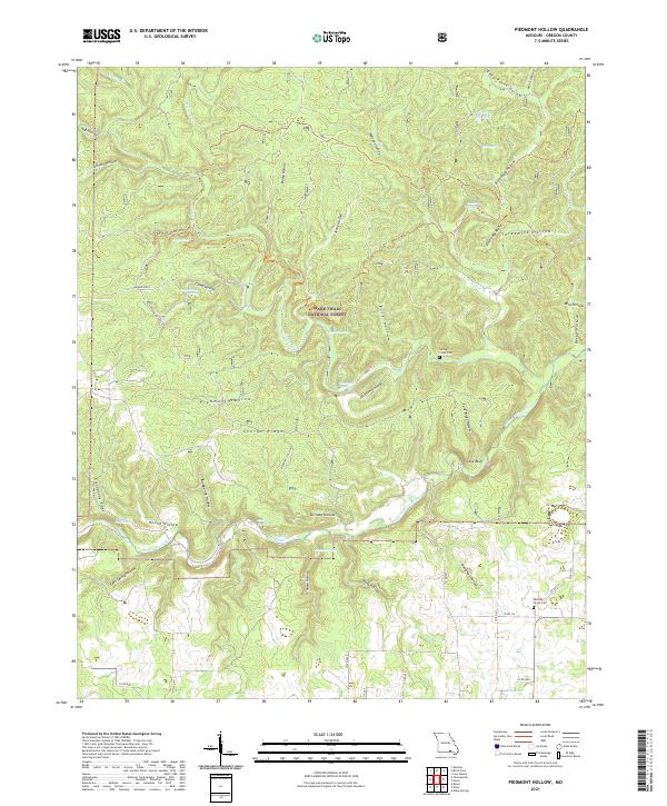
2021 Piedmont Hollow
Oregon County, MO
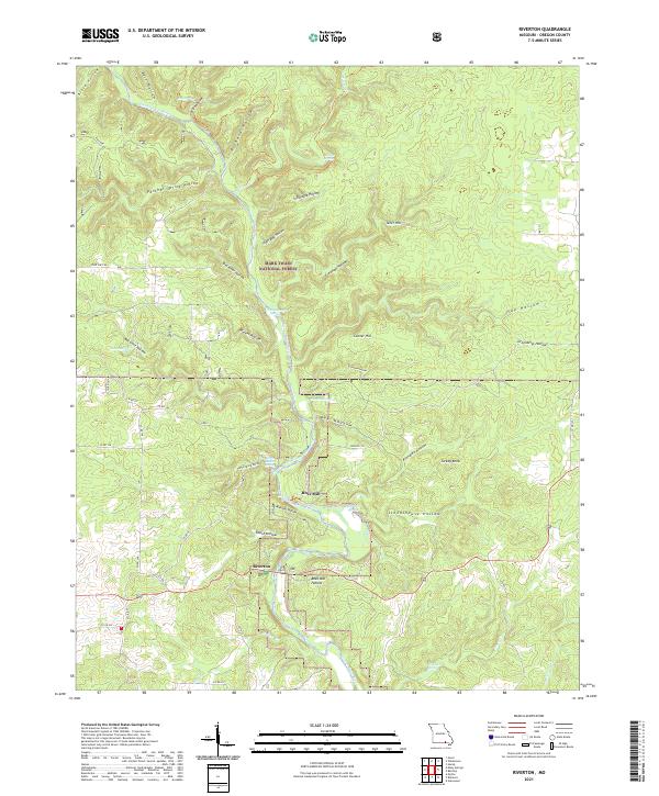
2021 Riverton
Oregon County, MO
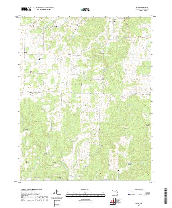
2021 Rover
Oregon County, MO
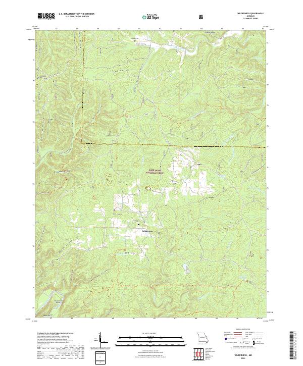
2021 Wilderness
Oregon County, MO