Old Maps of Lulu, Missouri
Explore 12 old maps of Lulu, spanning from 1944 to today. These high-resolution historic maps reveal how streets, neighborhoods, landmarks, and natural features evolved over time — perfect for genealogy, metal detecting, research, and local history exploration.
What you can do with these maps:
- See how Lulu changed over time: Compare historical maps to modern-day views to trace roads, homesites, rail lines & more.
- View detailed metadata: Each map includes creators, publishers, year, scale, and archive source.
- Overlay maps with satellite & LiDAR: Visualize the past alongside modern tools to explore terrain & human change.
- Trusted historical sources: Maps sourced from the USGS, Library of Congress, and other archives.
- Access maps your way: View online, download high-res files, or order prints for personal or research use.
Start exploring old maps of Lulu to uncover forgotten places, hidden landmarks, and the deep history beneath your feet.
Lulu, MO maps
(12)- 1944 Map of Couch, 1960 Print
 1944 Couch1960 Print · USGSThe Missouri Ozarks and the Arkansas borderlands appear in mid-century detail during the 1940s, highlighting the remote settlement of Oregon County. Genealogists can trace family footprints through numerous rural landmarks like Smyrna Ch, Couch Sch, and Hollis Cem.2 unique versions available
 - 1946 Map of Couch
 1946 Couch1946 Print · USGSOregon County is captured mid-century near the Arkansas border as the rural community network of one-room schools and country churches remained intact. Genealogists can locate family landmarks like Hollow Cem, Nebo Sch, and the settlements of Couch and Myrtle.2 unique versions available
 - 1957 Map of Poplar Bluff, 1968 Print
 1957 Poplar Bluff1968 Print · USGSThe Missouri-Arkansas border region is captured here as the timber and rail industries shaped the Ozark foothills. Genealogists and historians can trace the Missouri Pacific Railroad through river towns like Pocahontas, Greenville, and Van Buren.3 unique versions available
 - 1959 Map of Poplar Bluff
 1959 Poplar Bluff1959 Print · USGSThe Missouri Ozarks and Arkansas borderlands meet in this late 1950s study of the region's diverse terrain and rail-fed towns. Researchers can trace the path of the Missouri Pacific Railroad through Poplar Bluff or locate smaller settlements like Birch Tree and Myrtle.
 - 1960 Map of Poplar Bluff
 1960 Poplar Bluff1960 Print · USGSSoutheast Missouri and Northeast Arkansas are captured here during the post-war era, showing the transition from the Ozark highlands to the Delta. Genealogists and historians can trace rail corridors like the St. Louis Southwestern RR and remote settlements such as Birch Tree and Warm Springs.
 - 1983 Map of Many Springs, 1984 Print
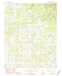 1983 Many Springs1984 Print · USGSOregon County is captured in the early eighties as a landscape of rural congregations and deep Ozark hollows. Genealogists and local historians can locate several family landmarks, from Bailey Chapel and Nebo Ch to the Hollfs Cem.
 - 1984 Map of West Plains
 1984 West Plains1984 Print · USGSThe Missouri Ozarks are mapped here in the mid-1980s, centered on the regional hub of West Plains and the river corridors of the Eleven Point River. Trace the old rail lines and timber towns of Willow Springs, Mountain View, and Birch Tree through the Mark Twain National Forest.2 unique versions available
 - 1997 Map of Many Springs, 2000 Print
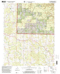 1997 Many Springs2000 Print · USGSOregon County is mapped here in the late twentieth century, showing a landscape defined by the Mark Twain National Forest and the Eleven Point River. Genealogists and local historians can trace rural roots at Allen Chapel, Hollis Cemetery, and the settlement of Couch.
 - 2011 Map of Many Springs, 2011 Print
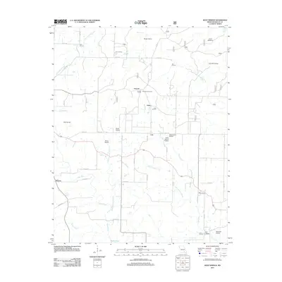 2011 Many Springs2011 Print · USGSOregon County is captured in the early twenty-first century as a landscape of isolated homesteads and deep Ozark hollows. Researchers can locate several family burial sites like Bailey Cemetery or trace the geography of local valleys such as Hollis School Hollow.
 - 2015 Map of Many Springs, 2015 Print
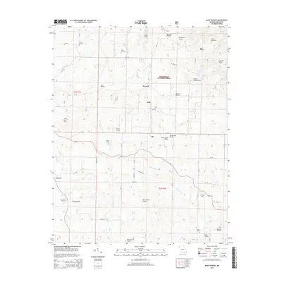 2015 Many Springs2015 Print · USGSOregon County is seen here in the mid-2010s, where the rural landscape is defined by the deep hollows and spring-fed creeks of the Mark Twain National Forest. Genealogists can trace family landmarks like the Hollis School, Bailey Cemetery, and the settlement at Many Springs.
 - 2017 Map of Many Springs, 2017 Print
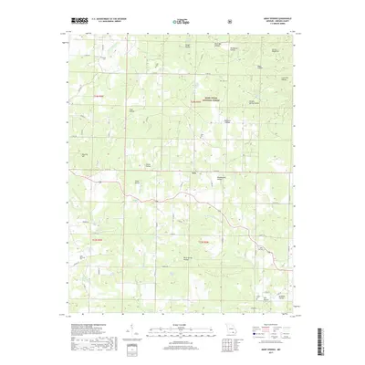 2017 Many Springs2017 Print · USGSOregon County, Missouri, is shown here in the early 2000s as a landscape of remote hollows and mountain springs. Genealogists can trace family heritage through local landmarks like Hollis Cem, Lulu, and the namesake waters of Many Springs.
 - 2021 Map of Many Springs, 2021 Print
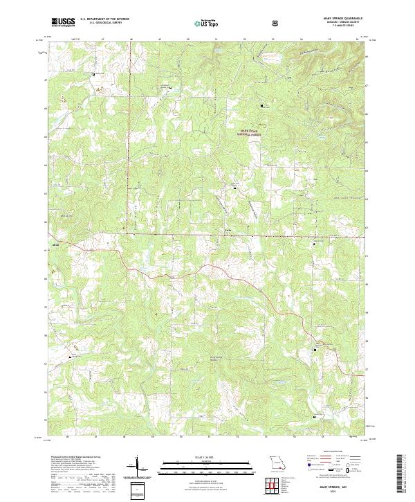 2021 Many Springs2021 Print · USGSOregon County, Missouri, in the early twenty-first century remains a landscape of deep hollows and forest springs within the Mark Twain National Forest. Genealogists can trace local roots through numerous sites like Hollis Cem Number 1 and Lance Cem near the town of Alton.
End of results
Showing maps 1-12 of 12
Top cities near Lulu
Frequently asked questions
- What are the different types of historical maps available for Lulu?
- What is the oldest map of Lulu?
- Where can I purchase historical maps of Lulu for my home or office?
- Where can I download high-res historical maps of Lulu?
- Are there historical topographic maps available for Lulu?
- Is there historical aerial imagery available for Lulu?
- Where are historical maps of Lulu sourced from?