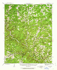
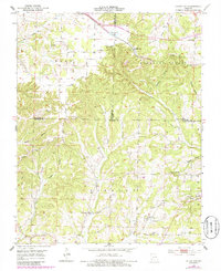
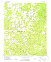
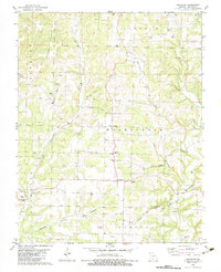
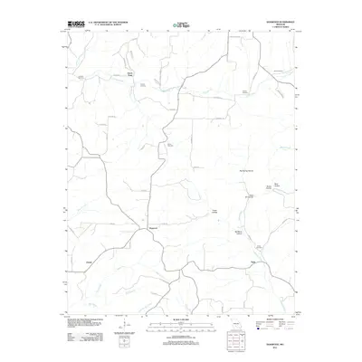
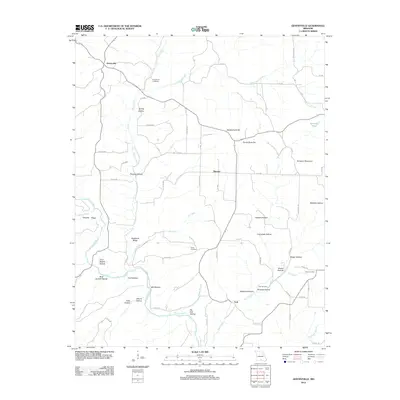
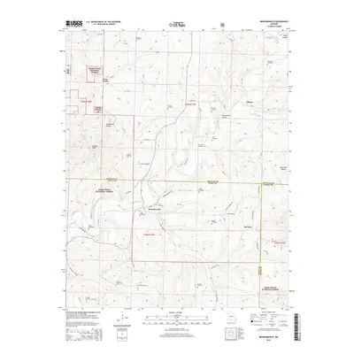
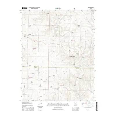
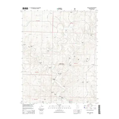
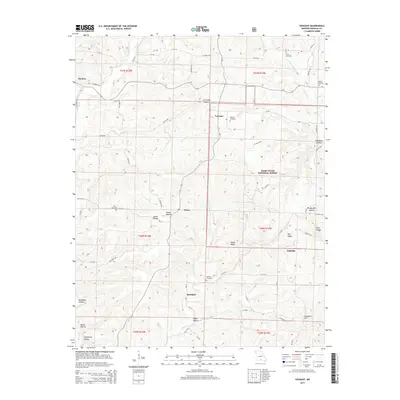
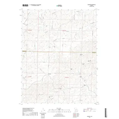
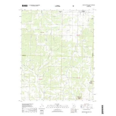
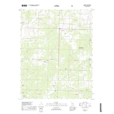
1943 Map of Buckhart
USGS Topo · Published 1963About this map
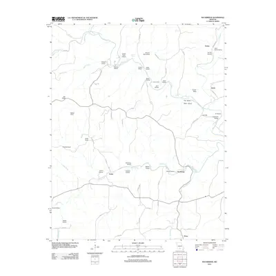
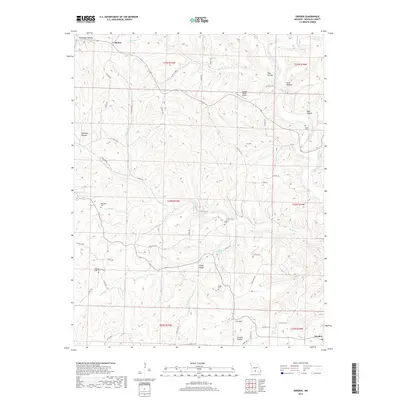
Bryant Creek winds through the heart of this Missouri landscape, anchoring a network of small upland communities and family-named landmarks. During the mid-twentieth century, the region was defined by a dense distribution of rural schools and churches, such as John Smith Sch, Harvey Sch, and Whiteoak Grove Sch, which served as the social centers for remote townships. The map details the transition from the Mark Twain National Forest to established settlements like Buckhart, Vanzant, and Vera Cruz.
Find a feature on this map
106 named features on this map. Tap any name to fly to it.
Don’t see what you’re looking for? This feature index may not catch every label — zoom into the map to look around manually.
Map Details
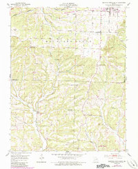
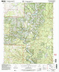
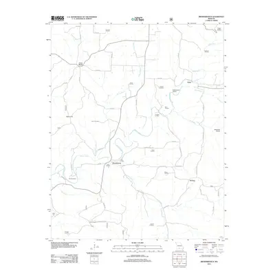
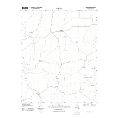
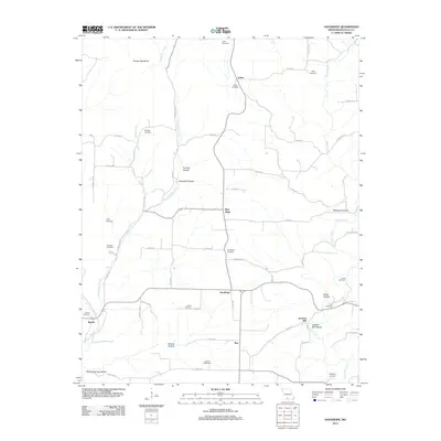
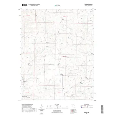
Editions of this 1943 Buckhart Map
2 editions found
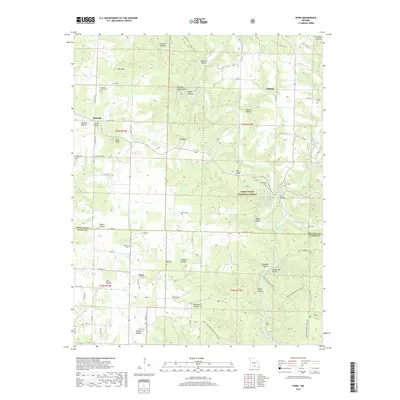
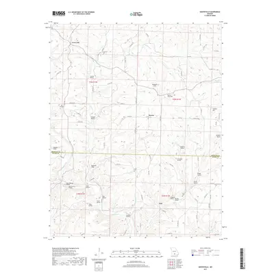
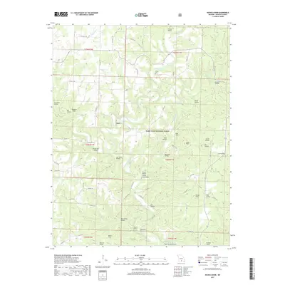
Historical Maps of Drury Through Time
80 maps found

1937 Bradleyville
Douglas County, MO

1937 Buckhart
Douglas County, MO
1939 Topaz
Douglas County, MO

1941 Topaz
Douglas County, MO
1943 Bradleyville
Douglas County, MO
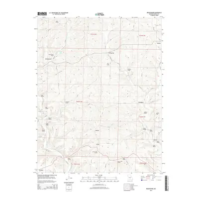
1943 Buckhart
Douglas County, MO

1945 Bradleyville
Douglas County, MO

1945 Buckhart
Douglas County, MO
1951 Cedar Gap
Douglas County, MO
1951 Mountain Grove South
Douglas County, MO
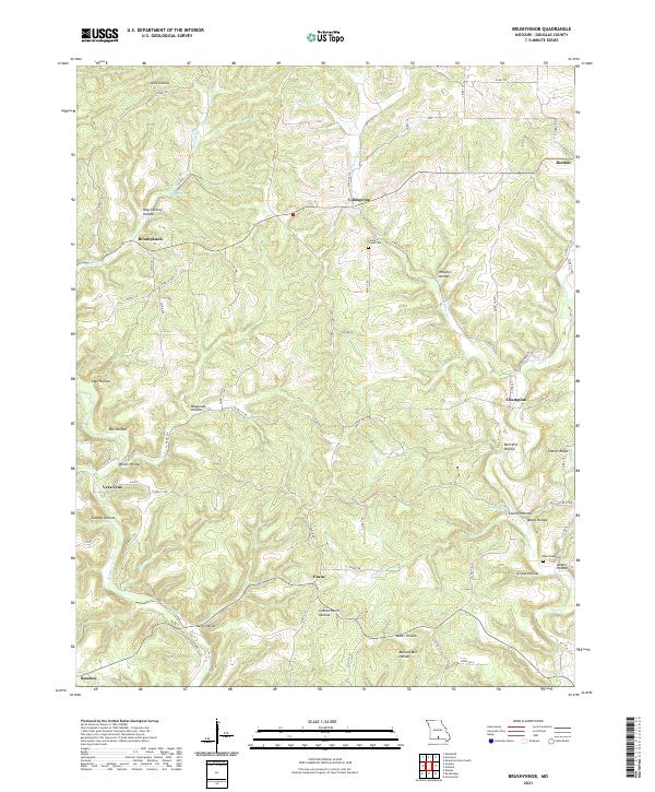
1973 Brushyknob
Douglas County, MO
1973 Dora
Douglas County, MO

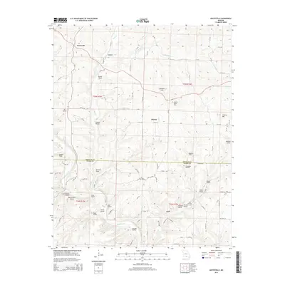
1973 Gentryville
Douglas County, MO
1973 Nichols Knob
Douglas County, MO

1973 Rockbridge
Douglas County, MO

1973 Vanzant
Douglas County, MO

1977 Cedar Gap
Douglas County, MO

1977 Mountain Grove South
Douglas County, MO

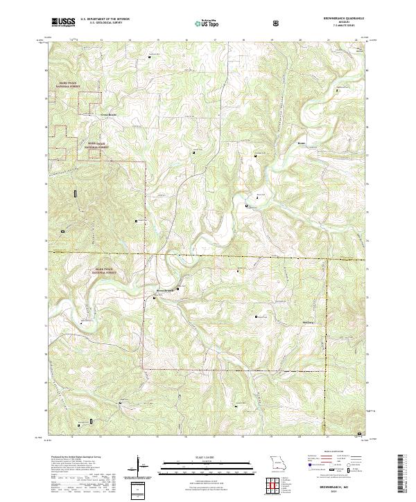
1982 Brownbranch
Douglas County, MO

1982 Dogwood
Douglas County, MO
1982 Goodhope
Douglas County, MO

1982 Smallett
Douglas County, MO

1982 Sweden
Douglas County, MO

2004 Brownbranch
Douglas County, MO

2004 Dora
Douglas County, MO
2004 Nichols Knob
Douglas County, MO

2004 Smallett
Douglas County, MO

2004 Vanzant
Douglas County, MO
2011 Cedar Gap
Douglas County, MO
2011 Dogwood
Douglas County, MO
2012 Brownbranch
Douglas County, MO
2012 Brushyknob
Douglas County, MO
2012 Dora
Douglas County, MO
2012 Gentryville
Douglas County, MO
2012 Goodhope
Douglas County, MO
2012 Mountain Grove South
Douglas County, MO
2012 Nichols Knob
Douglas County, MO
2012 Rockbridge
Douglas County, MO
2012 Smallett
Douglas County, MO
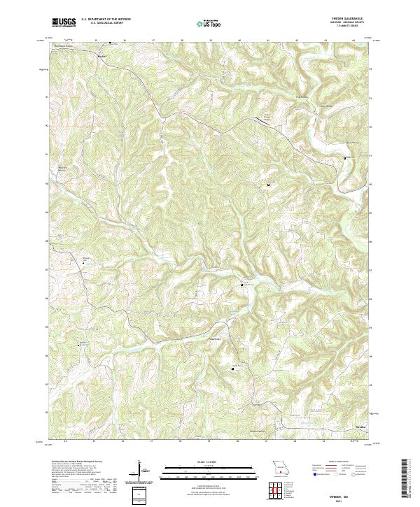
2012 Sweden
Douglas County, MO
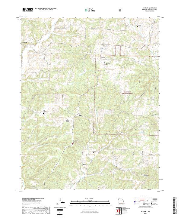
2012 Vanzant
Douglas County, MO
2015 Brownbranch
Douglas County, MO
2015 Brushyknob
Douglas County, MO
2015 Cedar Gap
Douglas County, MO
2015 Dogwood
Douglas County, MO
2015 Dora
Douglas County, MO
2015 Gentryville
Douglas County, MO
2015 Goodhope
Douglas County, MO
2015 Mountain Grove South
Douglas County, MO
2015 Nichols Knob
Douglas County, MO
2015 Rockbridge
Douglas County, MO
2015 Smallett
Douglas County, MO
2015 Sweden
Douglas County, MO
2015 Vanzant
Douglas County, MO
2017 Brownbranch
Douglas County, MO
2017 Brushyknob
Douglas County, MO
2017 Cedar Gap
Douglas County, MO
2017 Dogwood
Douglas County, MO
2017 Dora
Douglas County, MO
2017 Gentryville
Douglas County, MO
2017 Goodhope
Douglas County, MO
2017 Mountain Grove South
Douglas County, MO
2017 Nichols Knob
Douglas County, MO
2017 Rockbridge
Douglas County, MO
2017 Smallett
Douglas County, MO
2017 Sweden
Douglas County, MO
2017 Vanzant
Douglas County, MO
2021 Brownbranch
Douglas County, MO
2021 Brushyknob
Douglas County, MO
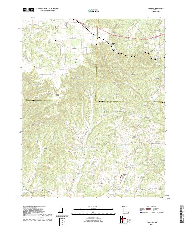
2021 Cedar Gap
Douglas County, MO
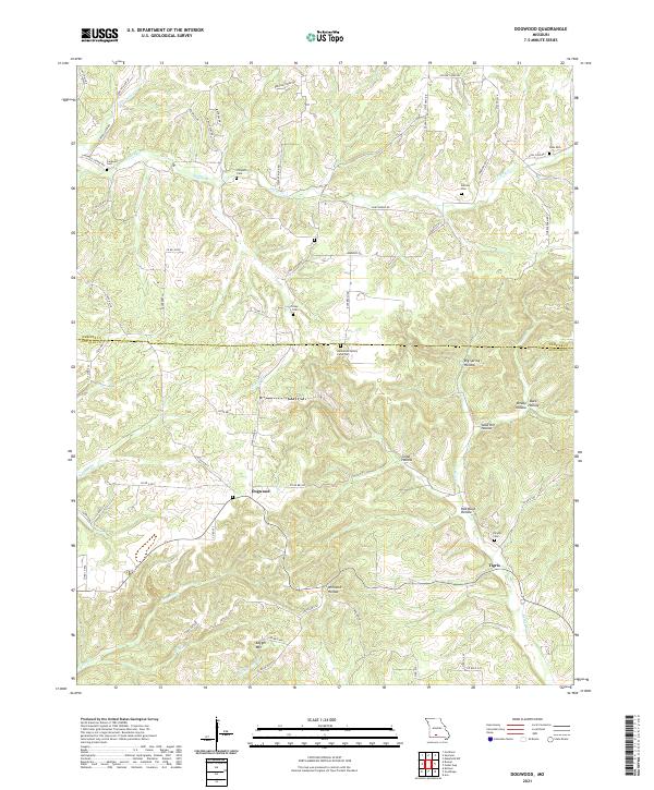
2021 Dogwood
Douglas County, MO
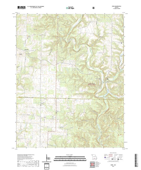
2021 Dora
Douglas County, MO
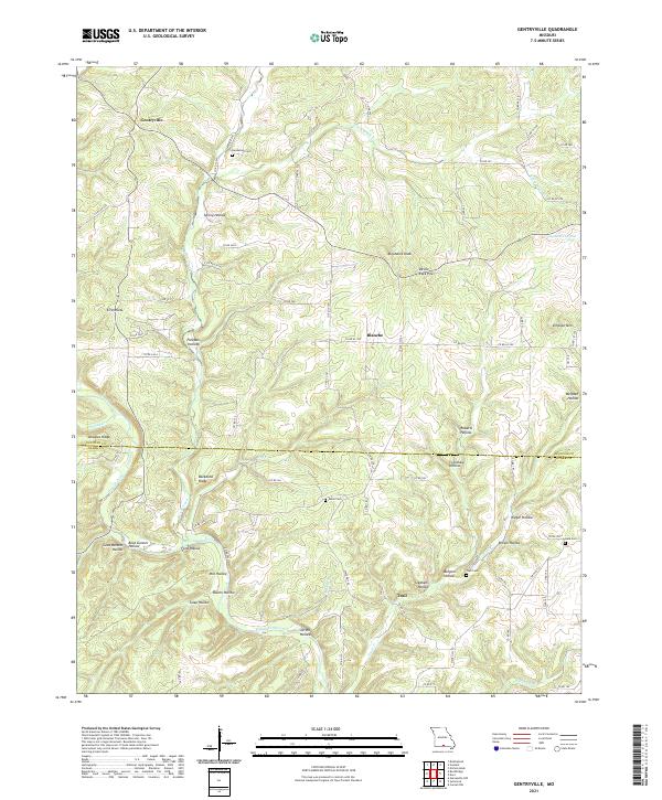
2021 Gentryville
Douglas County, MO
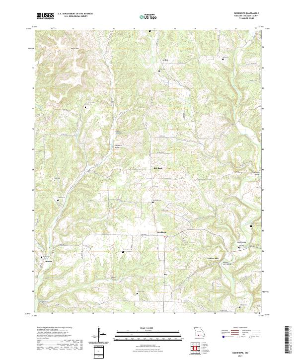
2021 Goodhope
Douglas County, MO

2021 Mountain Grove South
Douglas County, MO
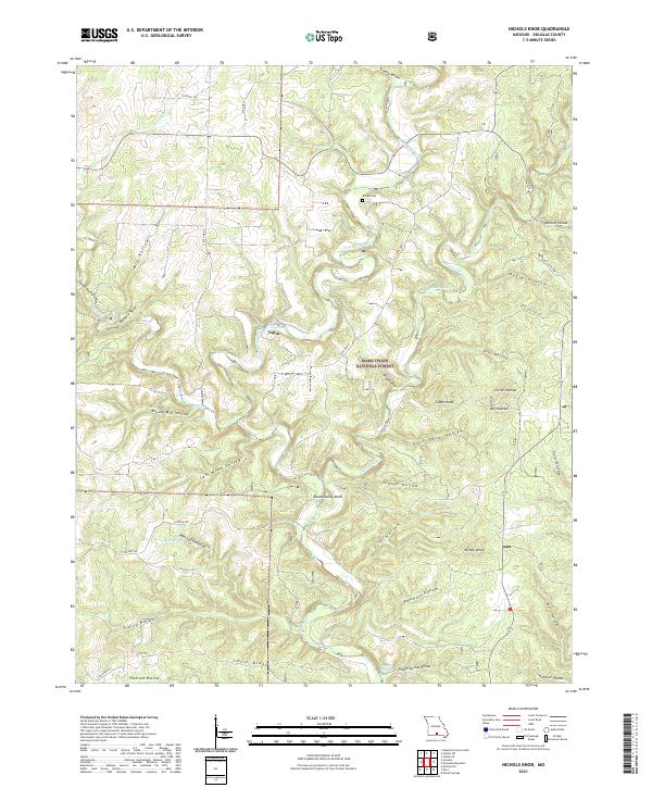
2021 Nichols Knob
Douglas County, MO
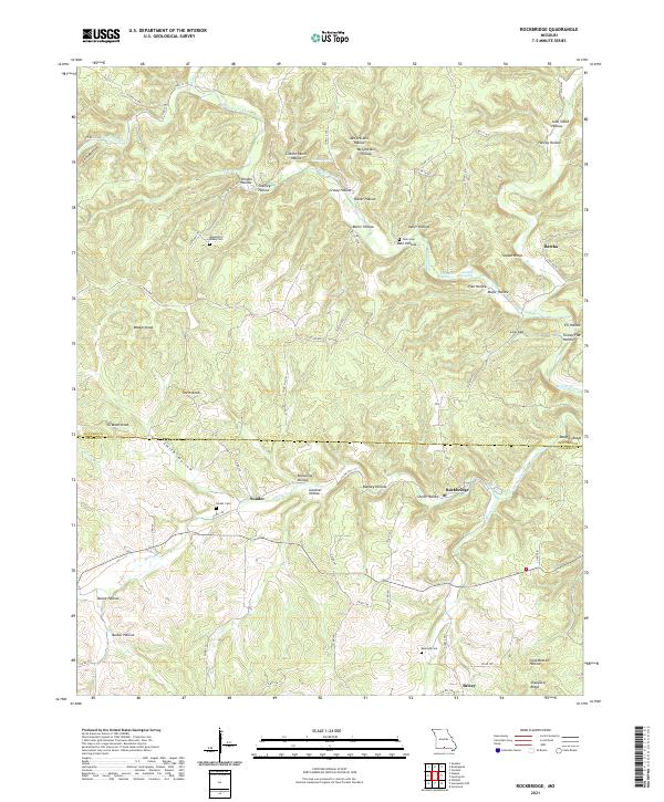
2021 Rockbridge
Douglas County, MO
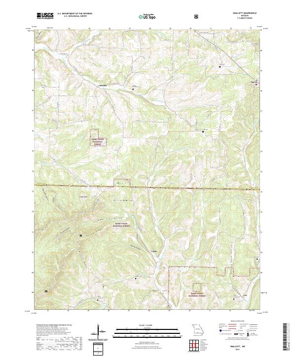
2021 Smallett
Douglas County, MO
2021 Sweden
Douglas County, MO
2021 Vanzant
Douglas County, MO