
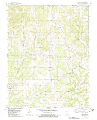
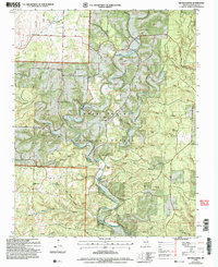
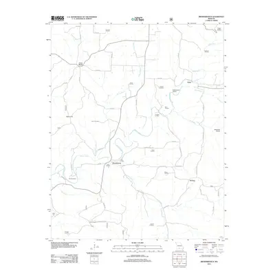
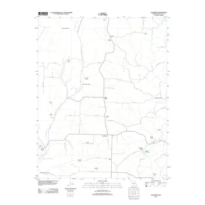
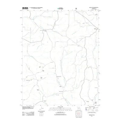
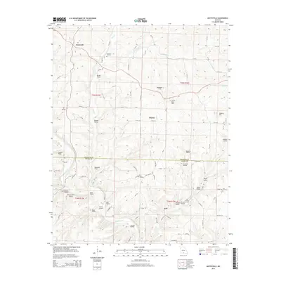
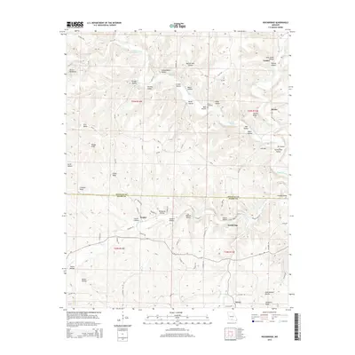
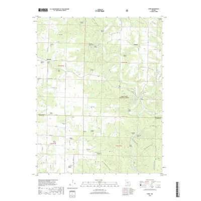
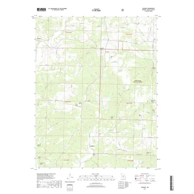
1982 Map of Dogwood
USGS Topo · Published 1983About this map
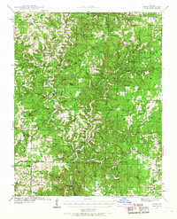
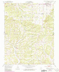
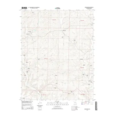
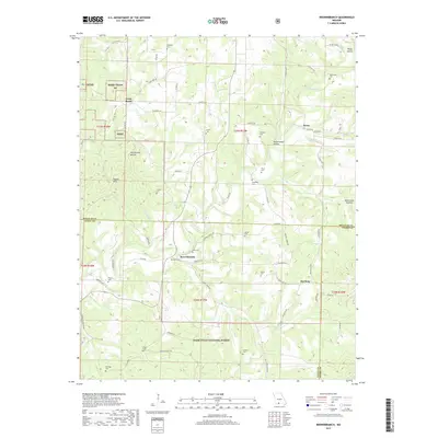
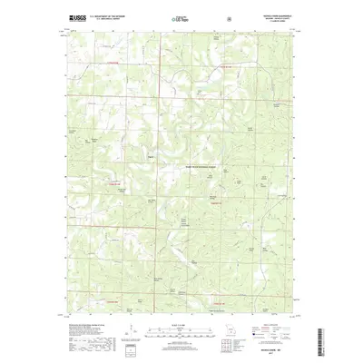
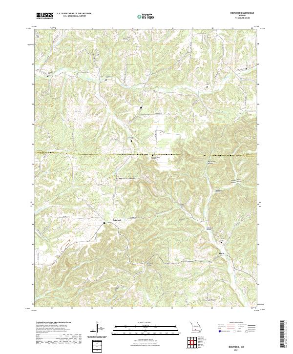
Dogwood serves as the primary settlement hub in this rural landscape near the Webster Co Douglas Co line during the early 1980s. The region is defined by a dense network of upland hollows and ridges, including Keyger Mountain and Lincoln, where numerous small family and community burial grounds like Philpott Cem and Hammons Cem are tucked into the drainages of Finley Creek and Beaver Creek. The map reveals a community centered on local faith and land use, with institutions such as the Christian Union Ch and Nazarene Ch providing social anchors. Public land is represented by the Dogwood Tower Site State Hunting Area, which highlights the area's preservation for outdoor activity amidst the deep drainages of Cedar Hollow and Williams Hollow.
Find a feature on this map
37 named features on this map. Tap any name to fly to it.
Don’t see what you’re looking for? This feature index may not catch every label — zoom into the map to look around manually.
Map Details
Editions of this 1982 Dogwood Map
This is the sole edition of this map. No revisions or reprints were ever made.
Historical Maps of Tigris Through Time
80 maps found

1937 Bradleyville
Douglas County, MO

1937 Buckhart
Douglas County, MO
1939 Topaz
Douglas County, MO

1941 Topaz
Douglas County, MO
1943 Bradleyville
Douglas County, MO
1943 Buckhart
Douglas County, MO

1945 Bradleyville
Douglas County, MO

1945 Buckhart
Douglas County, MO
1951 Cedar Gap
Douglas County, MO
1951 Mountain Grove South
Douglas County, MO
1973 Brushyknob
Douglas County, MO
1973 Dora
Douglas County, MO

1973 Gentryville
Douglas County, MO
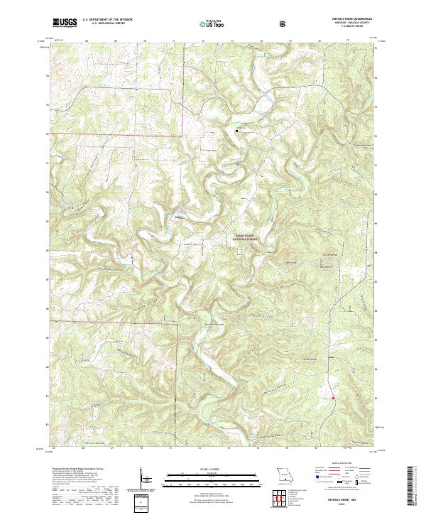
1973 Nichols Knob
Douglas County, MO

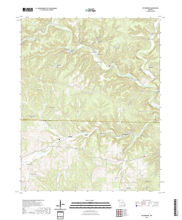
1973 Rockbridge
Douglas County, MO

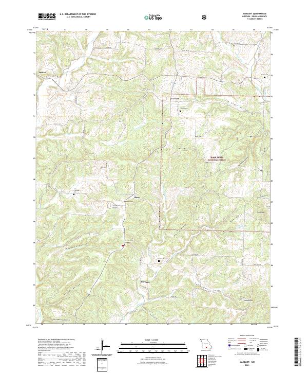
1973 Vanzant
Douglas County, MO

1977 Cedar Gap
Douglas County, MO

1977 Mountain Grove South
Douglas County, MO

1982 Brownbranch
Douglas County, MO
1982 Dogwood
Douglas County, MO
1982 Goodhope
Douglas County, MO

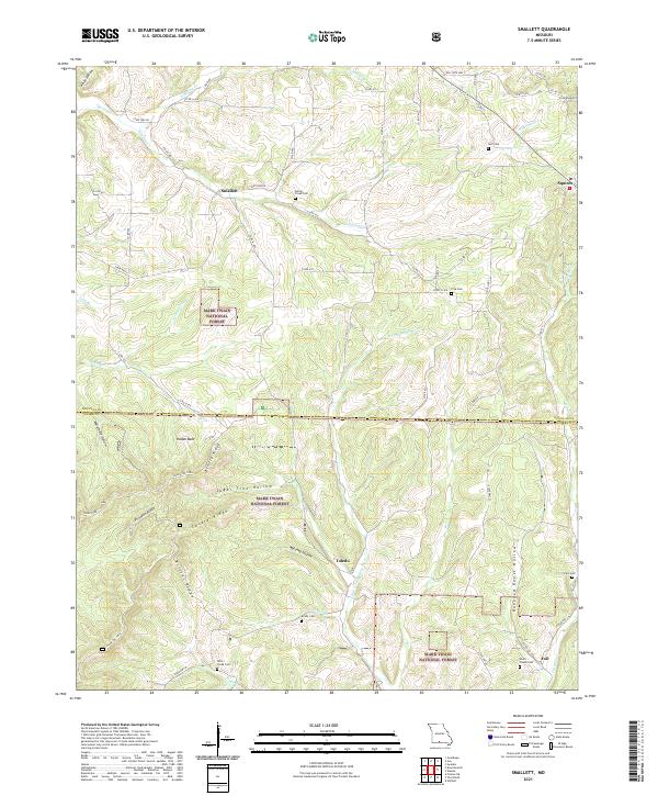
1982 Smallett
Douglas County, MO

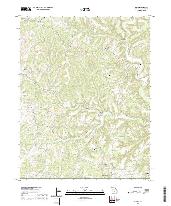
1982 Sweden
Douglas County, MO

2004 Brownbranch
Douglas County, MO

2004 Dora
Douglas County, MO
2004 Nichols Knob
Douglas County, MO

2004 Smallett
Douglas County, MO

2004 Vanzant
Douglas County, MO
2011 Cedar Gap
Douglas County, MO
2011 Dogwood
Douglas County, MO
2012 Brownbranch
Douglas County, MO
2012 Brushyknob
Douglas County, MO
2012 Dora
Douglas County, MO
2012 Gentryville
Douglas County, MO
2012 Goodhope
Douglas County, MO
2012 Mountain Grove South
Douglas County, MO
2012 Nichols Knob
Douglas County, MO
2012 Rockbridge
Douglas County, MO
2012 Smallett
Douglas County, MO
2012 Sweden
Douglas County, MO
2012 Vanzant
Douglas County, MO
2015 Brownbranch
Douglas County, MO
2015 Brushyknob
Douglas County, MO
2015 Cedar Gap
Douglas County, MO
2015 Dogwood
Douglas County, MO
2015 Dora
Douglas County, MO
2015 Gentryville
Douglas County, MO
2015 Goodhope
Douglas County, MO
2015 Mountain Grove South
Douglas County, MO
2015 Nichols Knob
Douglas County, MO
2015 Rockbridge
Douglas County, MO
2015 Smallett
Douglas County, MO
2015 Sweden
Douglas County, MO
2015 Vanzant
Douglas County, MO
2017 Brownbranch
Douglas County, MO
2017 Brushyknob
Douglas County, MO
2017 Cedar Gap
Douglas County, MO
2017 Dogwood
Douglas County, MO
2017 Dora
Douglas County, MO
2017 Gentryville
Douglas County, MO
2017 Goodhope
Douglas County, MO
2017 Mountain Grove South
Douglas County, MO
2017 Nichols Knob
Douglas County, MO
2017 Rockbridge
Douglas County, MO
2017 Smallett
Douglas County, MO
2017 Sweden
Douglas County, MO
2017 Vanzant
Douglas County, MO
2021 Brownbranch
Douglas County, MO
2021 Brushyknob
Douglas County, MO
2021 Cedar Gap
Douglas County, MO
2021 Dogwood
Douglas County, MO
2021 Dora
Douglas County, MO
2021 Gentryville
Douglas County, MO
2021 Goodhope
Douglas County, MO

2021 Mountain Grove South
Douglas County, MO
2021 Nichols Knob
Douglas County, MO
2021 Rockbridge
Douglas County, MO
2021 Smallett
Douglas County, MO
2021 Sweden
Douglas County, MO
2021 Vanzant
Douglas County, MO