Loading...
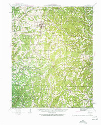
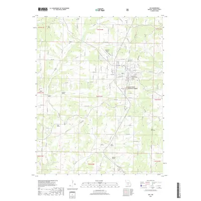
Loading map...1942 Map of Ava
USGS Topo · Published 1960About this map
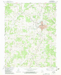
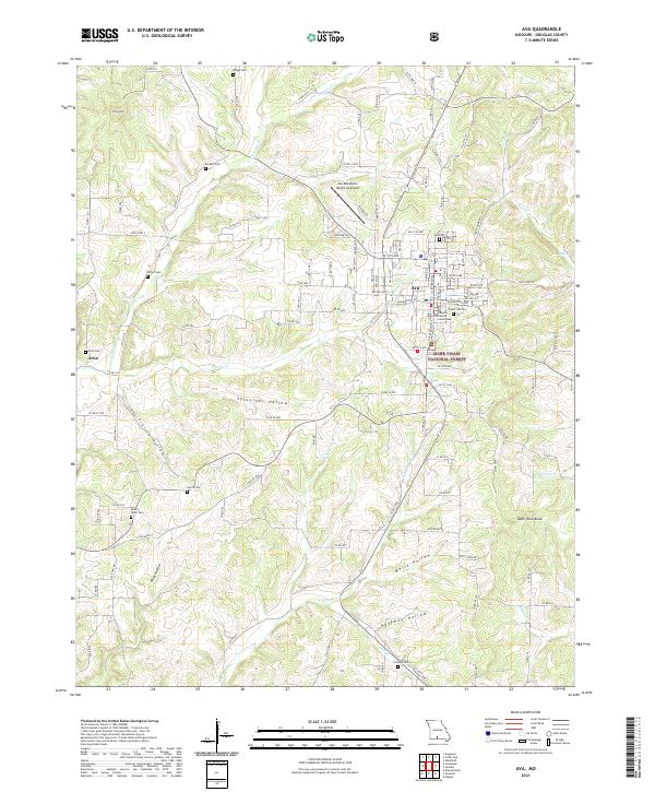
Ava serves as the central hub of this Missouri Ozarks landscape, where the town site meets a dense network of rural communities and crossroads. The map reveals an intricate social geography defined by local education and faith, evidenced by dozens of named institutions such as Blackoak Flat Sch, St Marys Chapel, and Happy Home Ch. The terrain transitions from the settled northern areas into the protected woodlands of the Mark Twain National Forest, illustrating the region's historical reliance on timber and subsistence agriculture.
Find a feature on this map
99 named features on this map. Tap any name to fly to it.
Don’t see what you’re looking for? This feature index may not catch every label — zoom into the map to look around manually.
Map Details
Date Portrayed1942
Date Published1960
PublisherU.S. Geological Survey
Map TypeTopographic
Scale1:62,500
Physical Dimensions17.5 x 21.7 inches
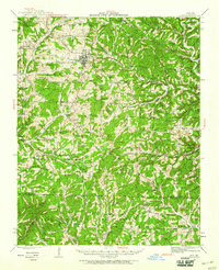
Editions of this 1942 Ava Map
2 editions found
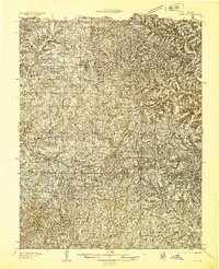
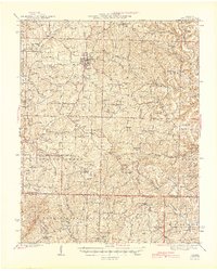
Historical Maps of Ava Through Time
9 maps found
Featured Locations
Source Details
SourceU.S. Geological Survey
CopyrightPublic Domain