
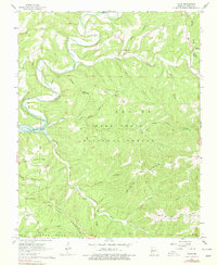
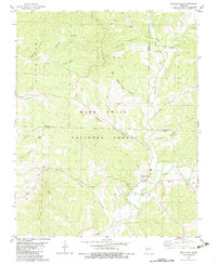
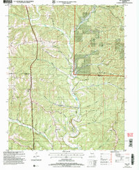
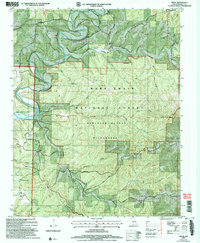
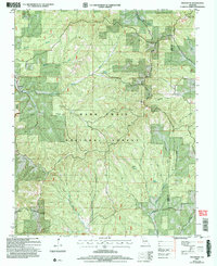
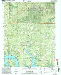
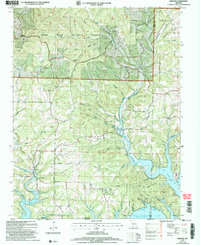
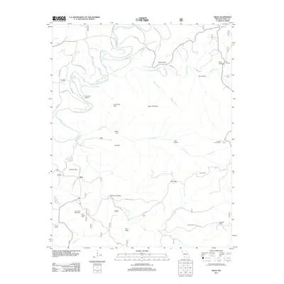
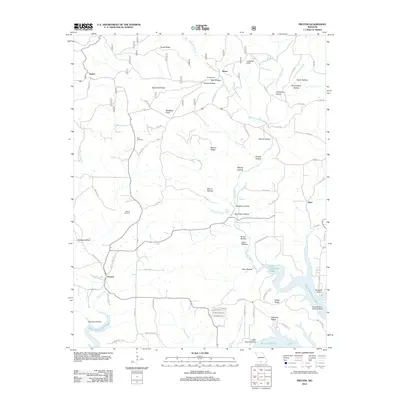
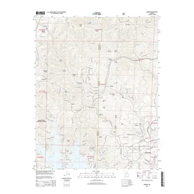
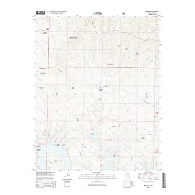
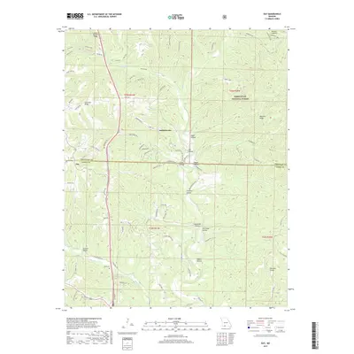
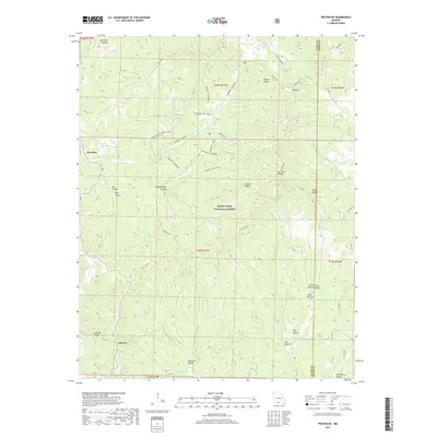
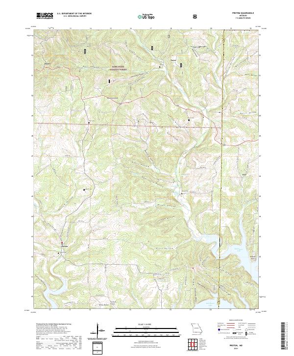
1943 Map of Protem
USGS Topo · Published 1943About this map
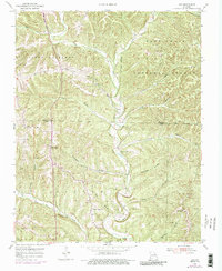
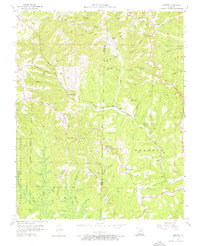
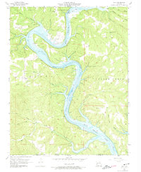
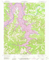
The Mark Twain National Forest dominates this section of the Ozarks during the early 1940s, featuring a landscape defined by sharp ridges and deep hollows. This era shows the Mark Twain Game Refuge at its heart, while the White River carves a dramatic path through Horseshoe Bend in the southwest corner. The settlement pattern is largely rural and school-centric, with dozens of local schoolhouses like Union Flat Sch, Ironsides Sch, and Hester Sch serving isolated ridge-top and valley communities.
Find a feature on this map
72 named features on this map. Tap any name to fly to it.
Don’t see what you’re looking for? This feature index may not catch every label — zoom into the map to look around manually.
Map Details
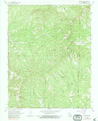
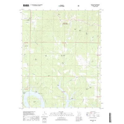
Editions of this 1943 Protem Map
This is the sole edition of this map. No revisions or reprints were ever made.
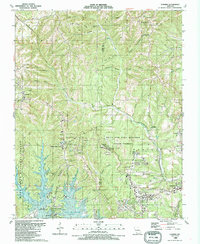
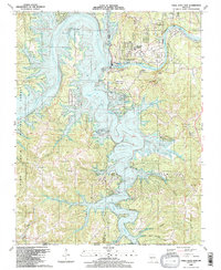
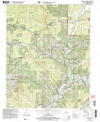
Historical Maps of Ocie Through Time
55 maps found
1943 Protem
Taney County, MO

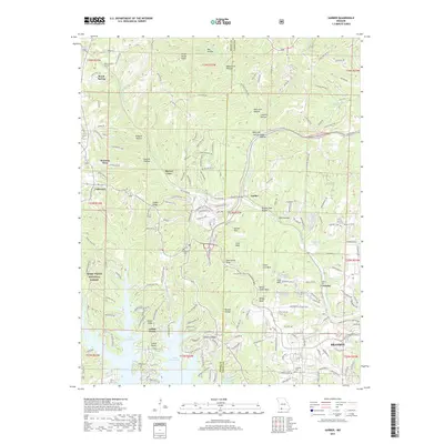
1950 Garber
Taney County, MO
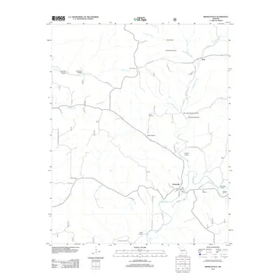
1955 Day
Taney County, MO
1956 Garber
Taney County, MO
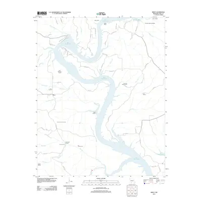
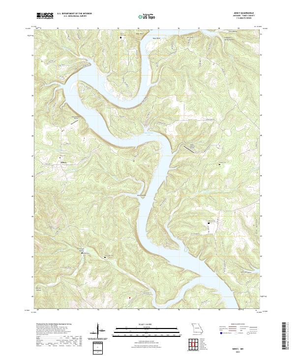
1956 Mincy
Taney County, MO
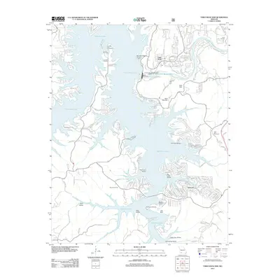
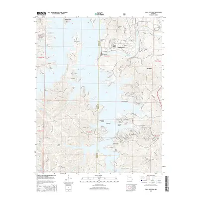
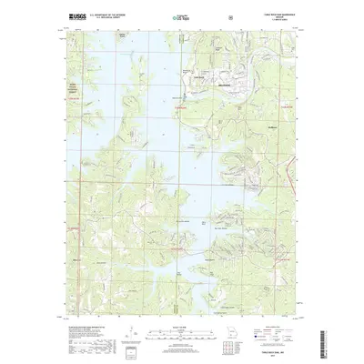
1956 Table Rock Dam
Taney County, MO
1967 Hilda
Taney County, MO
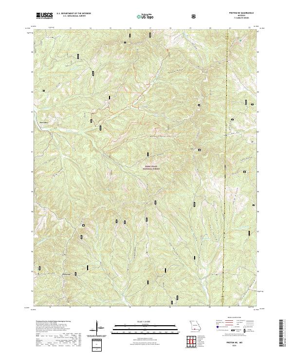
1968 Protem NE
Taney County, MO
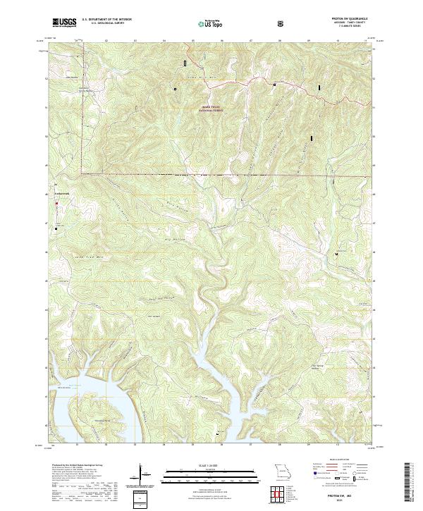
1968 Protem SW
Taney County, MO
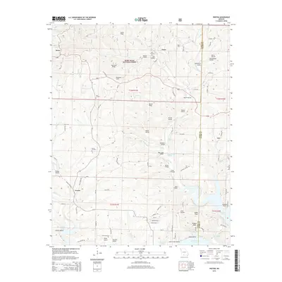
1968 Protem
Taney County, MO
1982 Bradleyville
Taney County, MO
1989 Garber
Taney County, MO
1989 Table Rock Dam
Taney County, MO
2004 Bradleyville
Taney County, MO
2004 Day
Taney County, MO
2004 Hilda
Taney County, MO
2004 Protem NE
Taney County, MO
2004 Protem SW
Taney County, MO
2004 Protem
Taney County, MO
2012 Bradleyville
Taney County, MO
2012 Day
Taney County, MO
2012 Garber
Taney County, MO
2012 Hilda
Taney County, MO
2012 Mincy
Taney County, MO
2012 Protem NE
Taney County, MO
2012 Protem SW
Taney County, MO
2012 Protem
Taney County, MO
2012 Table Rock Dam
Taney County, MO
2015 Bradleyville
Taney County, MO
2015 Day
Taney County, MO
2015 Garber
Taney County, MO
2015 Hilda
Taney County, MO
2015 Mincy
Taney County, MO
2015 Protem NE
Taney County, MO
2015 Protem SW
Taney County, MO
2015 Protem
Taney County, MO
2015 Table Rock Dam
Taney County, MO
2017 Bradleyville
Taney County, MO
2017 Day
Taney County, MO
2017 Garber
Taney County, MO
2017 Hilda
Taney County, MO
2017 Mincy
Taney County, MO
2017 Protem NE
Taney County, MO
2017 Protem SW
Taney County, MO
2017 Protem
Taney County, MO
2017 Table Rock Dam
Taney County, MO
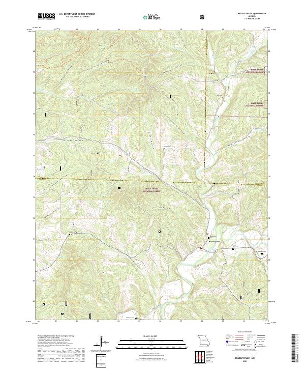
2021 Bradleyville
Taney County, MO
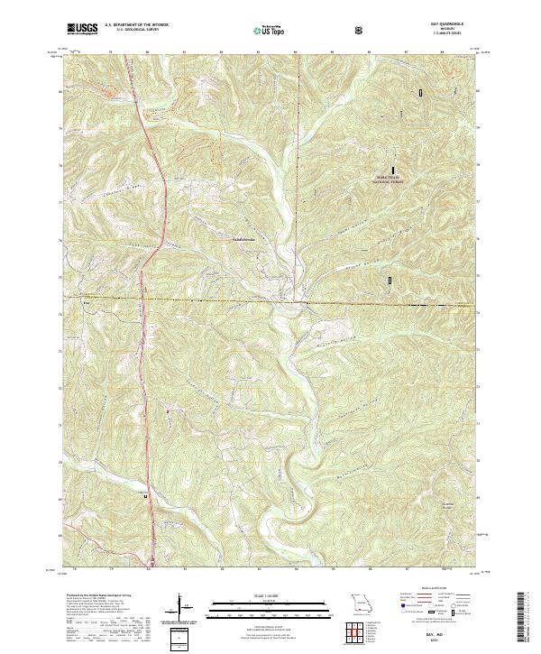
2021 Day
Taney County, MO
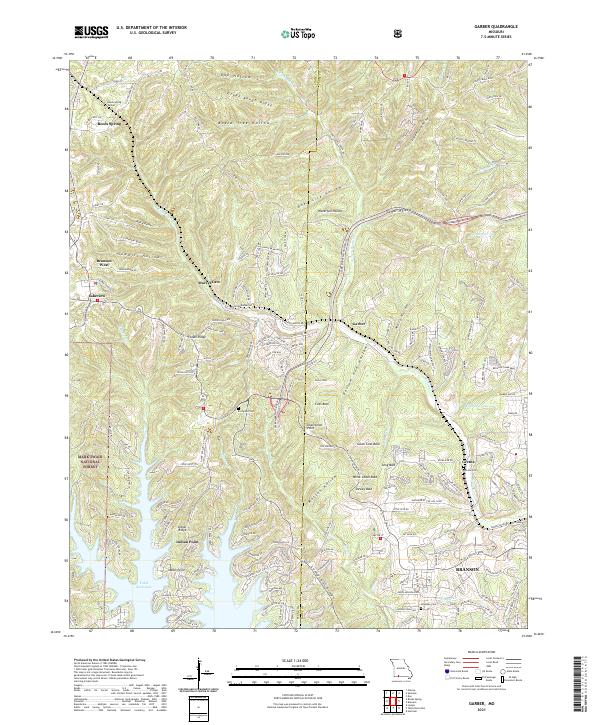
2021 Garber
Taney County, MO
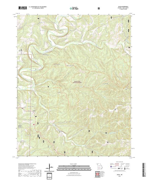
2021 Hilda
Taney County, MO
2021 Mincy
Taney County, MO
2021 Protem NE
Taney County, MO
2021 Protem SW
Taney County, MO
2021 Protem
Taney County, MO
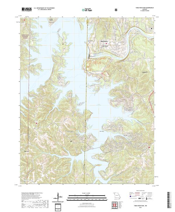
2021 Table Rock Dam
Taney County, MO