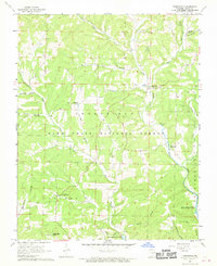
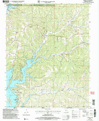
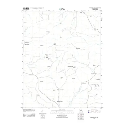
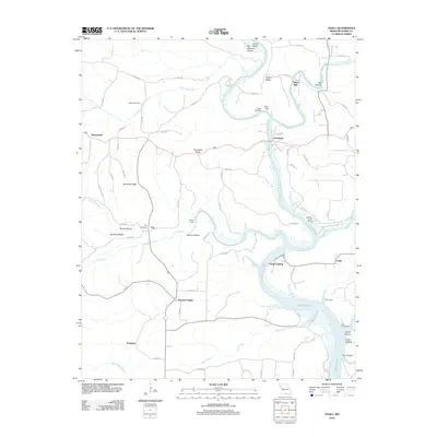
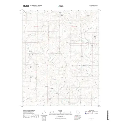
1943 Map of Thornfield
USGS Topo · Published 1959About this map
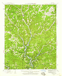
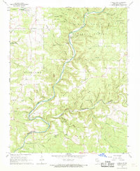
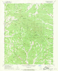
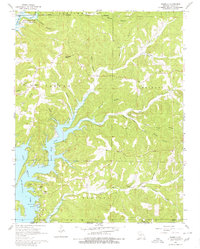
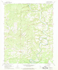
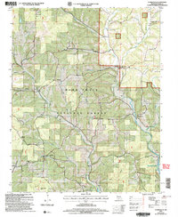
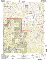
The Little North Fork White River carves a deep path through this portion of the Mark Twain National Forest, defining the rugged Ozark landscape during the early 1940s. Small, dispersed settlements like Theodosia and Thornfield serve as hubs for a rural population reliant on the river and its many spring-fed tributaries. The map reveals a high density of country schools and churches, such as Barefoot Sch, Mt Lebanon Sch, and the True Hope Ch, illustrating the decentralized social structure of the era. Evidence of early river crossings remains at Mayhan Ford and Horse Ford, prior to significant modern water management changes downstream. High points like Bald Jess and the Alkali Lookout tower over the hollows, while the boundary between Ozark Co and Marion Co marks the transition into Arkansas.
Find a feature on this map
100 named features on this map. Tap any name to fly to it.
Don’t see what you’re looking for? This feature index may not catch every label — zoom into the map to look around manually.
Map Details
Editions of this 1943 Thornfield Map
This is the sole edition of this map. No revisions or reprints were ever made.
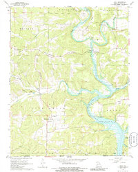
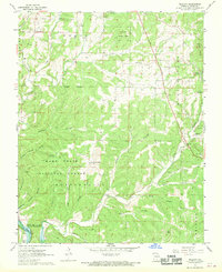
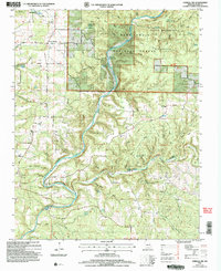
Historical Maps of Theodosia Through Time
44 maps found

1936 Thornfield
Ozark County, MO
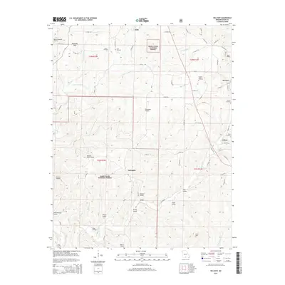
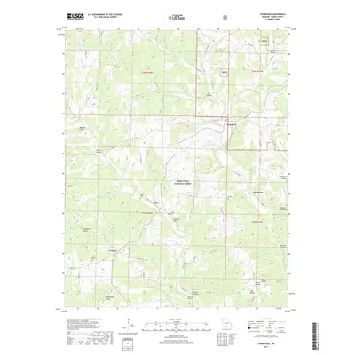
1943 Thornfield
Ozark County, MO
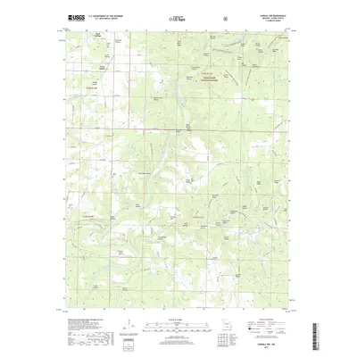
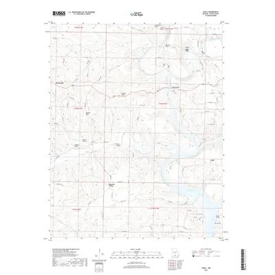
1944 Cureall
Ozark County, MO
1945 Thornfield
Ozark County, MO
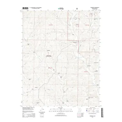
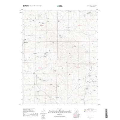
1946 Cureall
Ozark County, MO
1968 Cureall NW
Ozark County, MO
1968 Gainesville NW
Ozark County, MO
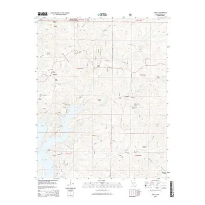
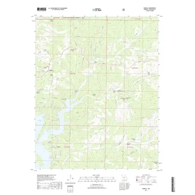
1968 Isabella
Ozark County, MO
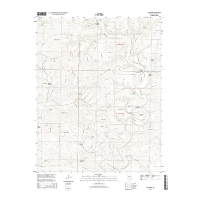
1968 Sycamore
Ozark County, MO
1968 Thornfield
Ozark County, MO
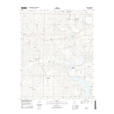
1968 Udall
Ozark County, MO
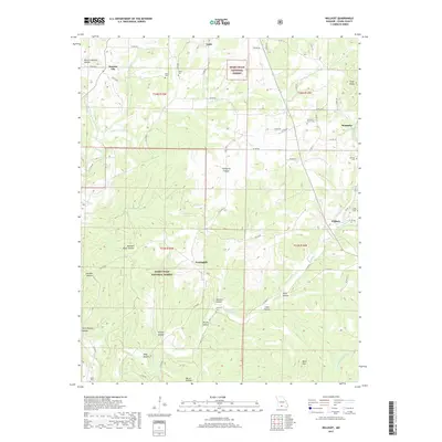
1968 Willhoit
Ozark County, MO
2004 Cureall NW
Ozark County, MO
2004 Isabella
Ozark County, MO
2004 Thornfield
Ozark County, MO
2004 Willhoit
Ozark County, MO
2012 Cureall NW
Ozark County, MO
2012 Gainesville NW
Ozark County, MO
2012 Isabella
Ozark County, MO
2012 Sycamore
Ozark County, MO
2012 Thornfield
Ozark County, MO
2012 Udall
Ozark County, MO
2012 Willhoit
Ozark County, MO
2015 Cureall NW
Ozark County, MO
2015 Gainesville NW
Ozark County, MO
2015 Isabella
Ozark County, MO
2015 Sycamore
Ozark County, MO
2015 Thornfield
Ozark County, MO
2015 Udall
Ozark County, MO
2015 Willhoit
Ozark County, MO
2017 Cureall NW
Ozark County, MO
2017 Gainesville NW
Ozark County, MO
2017 Isabella
Ozark County, MO
2017 Sycamore
Ozark County, MO
2017 Thornfield
Ozark County, MO
2017 Udall
Ozark County, MO
2017 Willhoit
Ozark County, MO
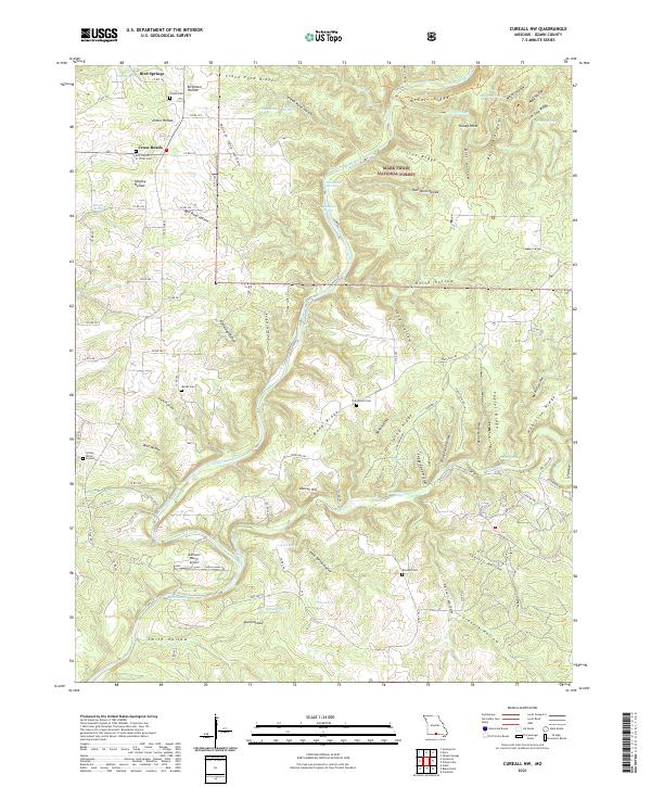
2021 Cureall NW
Ozark County, MO
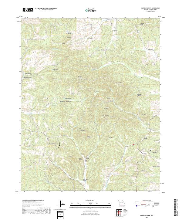
2021 Gainesville NW
Ozark County, MO
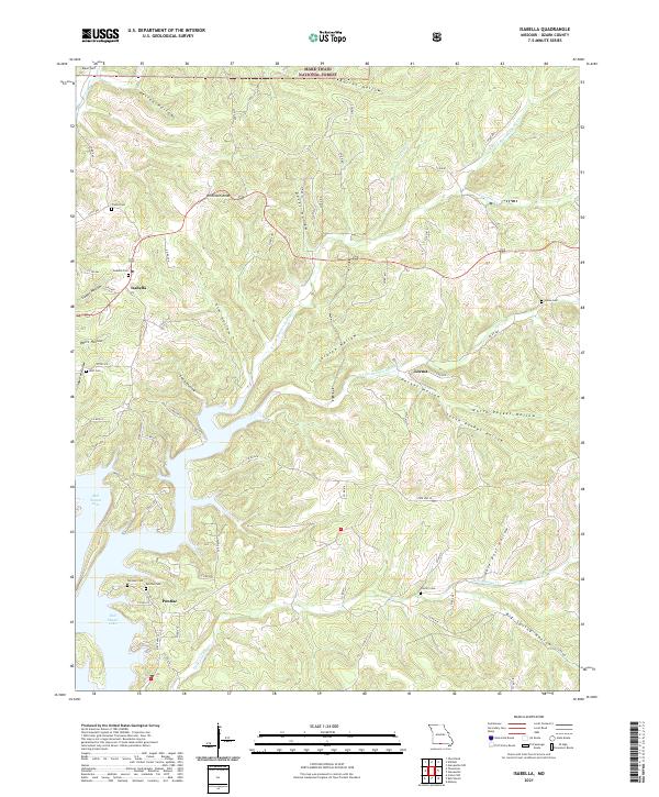
2021 Isabella
Ozark County, MO
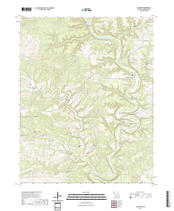
2021 Sycamore
Ozark County, MO
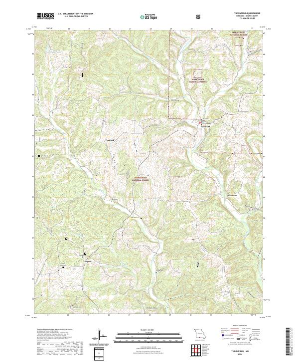
2021 Thornfield
Ozark County, MO
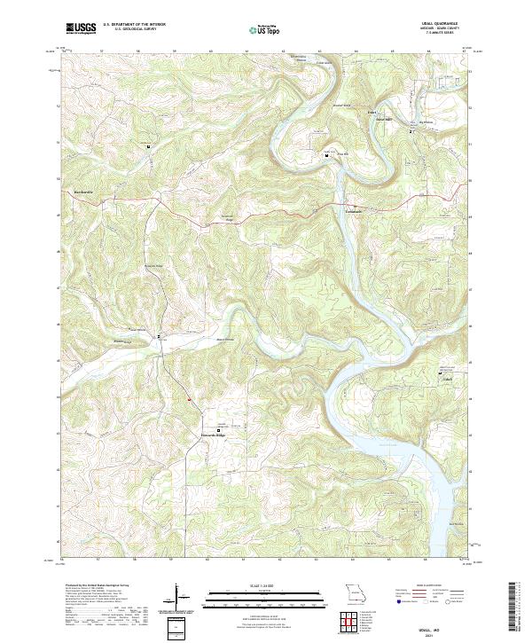
2021 Udall
Ozark County, MO
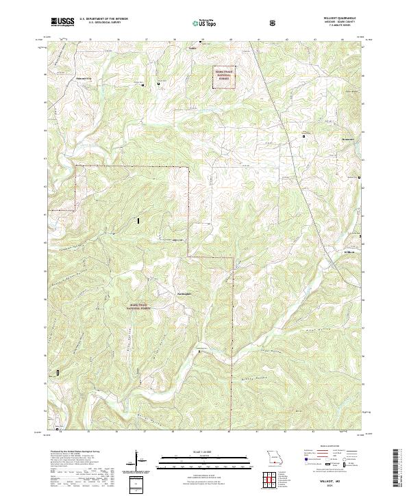
2021 Willhoit
Ozark County, MO