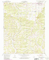
1951 Map of Mountain Grove South
USGS Topo · Published 1985About this map
Mountain Grove serves as the focal point of this mid-century survey, situated at the junction of the Burlington Northern railroad and the Mountain Grove Memorial Airport. The map documents a rural landscape transitioning into the Mark Twain National Forest to the south. The drainage patterns of Whetstone Creek and Fox Creek define the topography, where numerous small-scale community centers are marked by their local institutions.
Find a feature on this map
28 named features on this map. Tap any name to fly to it.
Don’t see what you’re looking for? This feature index may not catch every label — zoom into the map to look around manually.
Map Details
Editions of this 1951 Mountain Grove South Map
3 editions found
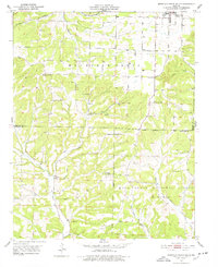
Other maps of this area

1937 · Buckhart
USGS Topo · 1:48,000

1939 · Topaz
USGS Topo · 1:62,500

1941 · Topaz
USGS Topo · 1:62,500

1943 · Buckhart
USGS Topo · 1:62,500

1945 · Harrison
USGS Topo · 1:250,000

1945 · Buckhart
USGS Topo · 1:62,500

1949 · Harrison
USGS Topo · 1:250,000

1950 · Cabool SW
USGS Topo · 1:24,000

1951 · Norwood
USGS Topo · 1:24,000

1951 · Mountain Grove South
USGS Topo · 1:24,000