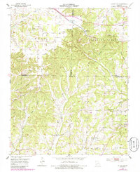
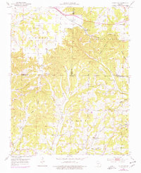
1951 Map of Cedar Gap
USGS Topo · Published 1985About this map
Cedar Gap sits at a high point of the Burlington Northern railroad, where the tracks bisect the divide between Finley Valley and Pleasant Valley. This 1951 survey, updated in the mid-1980s, reveals a landscape defined by its rural institutions, with small country schools like Mountain Side Sch and Casto Sch serving the surrounding hollows. The area is heavily marked by its watercourses, including the headwaters of Bryant Creek and Finley Creek, which have carved deep drainages like Panther Hollow and Smelter Hollow. Genealogy researchers will find significant detail in the numerous family and community landmarks, such as the Gentry Cem and Gentry Sch, alongside several historic churches including Lead Hill Ch and the Mt Zion Cem & Ch. The map provides a clear look at the intersection of Webster, Wright, and Douglas counties during a period of established mid-century upland farming.
Find a feature on this map
39 named features on this map. Tap any name to fly to it.
Don’t see what you’re looking for? This feature index may not catch every label — zoom into the map to look around manually.
Map Details
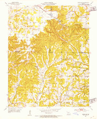
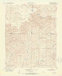
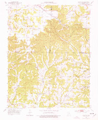
Editions of this 1951 Cedar Gap Map
5 editions found
Other maps of this area

1936 · Ava
USGS Topo · 1:48,000

1937 · Bradleyville
USGS Topo · 1:48,000

1939 · Fordland
USGS Topo · 1:62,500

1942 · Fordland
USGS Topo · 1:62,500

1942 · Ava
USGS Topo · 1:62,500

1943 · Bradleyville
USGS Topo · 1:62,500

1945 · Ava
USGS Topo · 1:62,500

1945 · Harrison
USGS Topo · 1:250,000

1945 · Bradleyville
USGS Topo · 1:62,500

1949 · Harrison
USGS Topo · 1:250,000