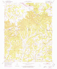
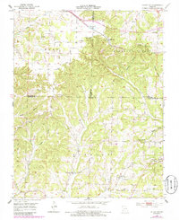
1951 Map of Cedar Gap
USGS Topo · Published 1977About this map
The St Louis San Francisco railroad corridor serves as the primary artery for this Ozark landscape, connecting the high ridge settlement at Cedar Gap to the surrounding rural districts. The terrain is defined by deep incisions like Panther Hollow and Smelter Hollow, while community life in the mid-20th century centered on neighborhood hubs such as Lead Hill Ch and Mountain Side Sch. The map reveals a high density of local history markers, including the Gentry Cem and Huffman Cem, reflecting a long-established pattern of upland farming. Water resources are prominent along the drainages of Finley Creek and Bryant Creek, with the man-made Cedar Gap Lake situated near the county line divide. This survey captures a moment when traditional rural institutions like the Casto Sch and Mt Zion Ch still anchored these Ozark valleys.
Find a feature on this map
38 named features on this map. Tap any name to fly to it.
Don’t see what you’re looking for? This feature index may not catch every label — zoom into the map to look around manually.
Map Details
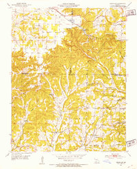
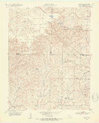
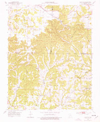
Editions of this 1951 Cedar Gap Map
5 editions found
Other maps of this area

1936 · Ava
USGS Topo · 1:48,000

1937 · Bradleyville
USGS Topo · 1:48,000

1939 · Fordland
USGS Topo · 1:62,500

1942 · Fordland
USGS Topo · 1:62,500

1942 · Ava
USGS Topo · 1:62,500

1943 · Bradleyville
USGS Topo · 1:62,500

1945 · Ava
USGS Topo · 1:62,500

1945 · Harrison
USGS Topo · 1:250,000

1945 · Bradleyville
USGS Topo · 1:62,500

1949 · Harrison
USGS Topo · 1:250,000