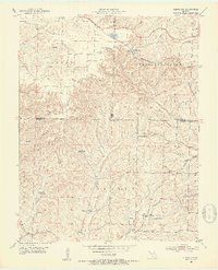
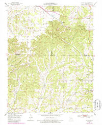
1951 Map of Cedar Gap
USGS Topo · Published 1953About this map
Cedar Gap sits atop the Ozark divide where the St Louis-San Francisco railroad and U.S. Route 60 cross the high ridges of the Missouri landscape. This early 1950s survey documents a rural community centered around the headwaters of several significant drainages, including Finley Creek, Bryant Creek, and Baker Creek. The settlement pattern reflects the mid-century consolidation of rural life, evidenced by several discontinued educational sites such as Skylight Sch and Granada Sch.
Find a feature on this map
36 named features on this map. Tap any name to fly to it.
Don’t see what you’re looking for? This feature index may not catch every label — zoom into the map to look around manually.
Map Details
Editions of this 1951 Cedar Gap Map
5 editions found
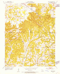
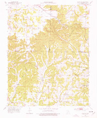
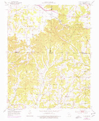
Other maps of this area

1936 · Ava
USGS Topo · 1:48,000

1937 · Bradleyville
USGS Topo · 1:48,000

1939 · Fordland
USGS Topo · 1:62,500

1942 · Fordland
USGS Topo · 1:62,500

1942 · Ava
USGS Topo · 1:62,500

1943 · Bradleyville
USGS Topo · 1:62,500

1945 · Ava
USGS Topo · 1:62,500

1945 · Harrison
USGS Topo · 1:250,000

1945 · Bradleyville
USGS Topo · 1:62,500

1949 · Harrison
USGS Topo · 1:250,000