Old Maps of Douglas County, Missouri
Explore 66 old maps of Douglas County, spanning from 1936 to today. These high-resolution historic maps reveal how streets, neighborhoods, landmarks, and natural features evolved over time — perfect for genealogy, metal detecting, research, and local history exploration.
What you can do with these maps:
- See how Douglas County changed over time: Compare historical maps to modern-day views to trace roads, homesites, rail lines & more.
- View detailed metadata: Each map includes creators, publishers, year, scale, and archive source.
- Overlay maps with satellite & LiDAR: Visualize the past alongside modern tools to explore terrain & human change.
- Trusted historical sources: Maps sourced from the USGS, Library of Congress, and other archives.
- Access maps your way: View online, download high-res files, or order prints for personal or research use.
Start exploring old maps of Douglas County to uncover forgotten places, hidden landmarks, and the deep history beneath your feet.
Douglas County, MO maps
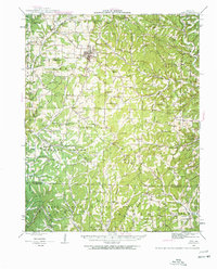
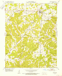
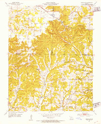
(66)- 1936 Map of Ava
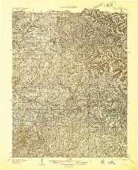 1936 Ava1936 Print · USGSCovers Douglas County, including Ava, Almartha, and other nearby areas
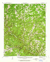
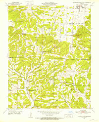
 - 1937 Map of Buckhart
 1937 Buckhart1937 Print · USGSCovers Douglas County, including Drury, Bertha, and other nearby areas
 - 1937 Map of Bradleyville
 1937 Bradleyville1937 Print · USGSCovers Douglas County, including Bradleyville, Roy, and other nearby areas
 - 1939 Map of Fordland
 1939 Fordland1939 Print · USGSCovers Douglas County, including Seymour, Fordland, and other nearby areas2 unique versions available
 - 1939 Map of Topaz
 1939 Topaz1939 Print · USGSCovers Douglas County, including Siloam Springs, Richville, and other nearby areas3 unique versions available
 - 1941 Map of Topaz
 1941 Topaz1941 Print · USGSCovers Douglas County, including Siloam Springs, Richville, and other nearby areas
 - 1942 Map of Fordland
 1942 Fordland1942 Print · USGSCovers Douglas County, including Seymour, Fordland, and other nearby areas2 unique versions available
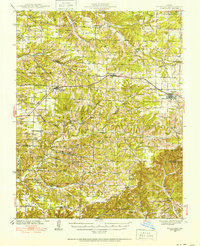
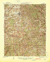
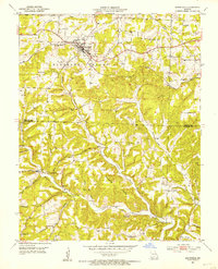
 - 1942 Map of Ava, 1960 Print
 1942 Ava1960 Print · USGSCovers Douglas County, including Ava, Almartha, and other nearby areas2 unique versions available
 - 1943 Map of Buckhart, 1963 Print
 1943 Buckhart1963 Print · USGSCovers Douglas County, including Drury, Bertha, and other nearby areas2 unique versions available
 - 1943 Map of Bradleyville, 1968 Print
 1943 Bradleyville1968 Print · USGSCovers Douglas County, including Bradleyville, Roy, and other nearby areas2 unique versions available
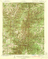
 - 1945 Map of Ava
 1945 Ava1945 Print · USGSCovers Douglas County, including Ava, Almartha, and other nearby areas2 unique versions available
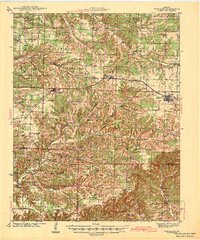
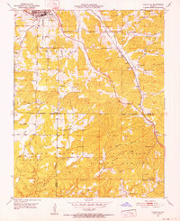
 - 1945 Map of Harrison
 1945 Harrison1945 Print · USGSCovers Douglas County, including Ozark, Harrison, and other nearby areas
 - 1945 Map of Bradleyville
 1945 Bradleyville1945 Print · USGSCovers Douglas County, including Bradleyville, Roy, and other nearby areas
 - 1945 Map of Buckhart
 1945 Buckhart1945 Print · USGSCovers Douglas County, including Drury, Bertha, and other nearby areas2 unique versions available
 - 1949 Map of Harrison
 1949 Harrison1949 Print · USGSCovers Douglas County, including Ozark, Harrison, and other nearby areas
 - 1950 Map of Cabool SW, 1952 Print
 1950 Cabool SW1952 Print · USGSCovers Douglas County, including Cabool, Mountain Grove, and other nearby areas3 unique versions available
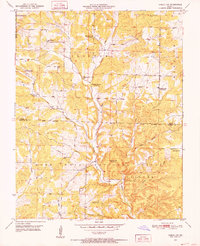
 - 1951 Map of Norwood, 1952 Print
 1951 Norwood1952 Print · USGSCovers Douglas County, including Norwood, Filer, and other nearby areas2 unique versions available
 - 1951 Map of Mountain Grove South, 1952 Print
 1951 Mountain Grove South1952 Print · USGSCovers Douglas County, including Goodville, Mountain Grove, and other nearby areas3 unique versions available
 - 1951 Map of Cabool SE, 1952 Print
 1951 Cabool SE1952 Print · USGSCovers Douglas County, including Cabool, Sargent, and other nearby areas6 unique versions available
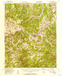
 - 1951 Map of Mansfield, 1953 Print
 1951 Mansfield1953 Print · USGSCovers Douglas County, including Mansfield, Bryant, and other nearby areas3 unique versions available
 - 1951 Map of Cedar Gap, 1953 Print
 1951 Cedar Gap1953 Print · USGSCovers Douglas County, including Granada, Zenda, and other nearby areas5 unique versions available
 - 1951 Map of Cabool, 1958 Print
 1951 Cabool1958 Print · USGSCovers Douglas County, including Cabool, Sargent, and other nearby areas2 unique versions available
 - 1951 Map of Mountain Grove, 1958 Print
 1951 Mountain Grove1958 Print · USGSCovers Douglas County, including Norwood, Goodville, and other nearby areas
 - 1954 Map of Harrison
 1954 Harrison1954 Print · USGSCovers Douglas County, including Ozark, Harrison, and other nearby areas
 - 1954 Map of Springfield
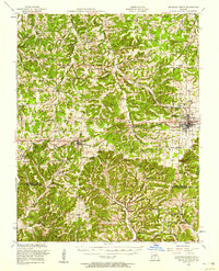
 1954 Springfield1954 Print · USGSCovers Douglas County, including Springfield, Nixa, and other nearby areas6 unique versions available
Showing maps 1-25 of 66
Top cities of Douglas County
Frequently asked questions
- What are the different types of historical maps available for Douglas County?
- What is the oldest map of Douglas County?
- Where can I purchase historical maps of Douglas County for my home or office?
- Where can I download high-res historical maps of Douglas County?
- Are there historical topographic maps available for Douglas County?
- Is there historical aerial imagery available for Douglas County?
- Where are historical maps of Douglas County sourced from?