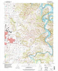
Old Maps of Springdale, Arkansas for Academic Research
Study the evolution of Springdale with 27 high-resolution historic maps. Whether you're teaching, researching, or modeling changes in land use, these maps provide essential visual documentation of urban, environmental, and geographic change.
- Analyze long-term change: Track patterns in development, transportation, and natural features.
- Ideal for environmental or urban studies: Support academic projects with primary historical map data.
- Use in the classroom or lab: Educators and researchers rely on these maps to bring historical context to life.
These maps are a powerful tool for teaching, research, and visualizing how Springdale has changed over the decades.
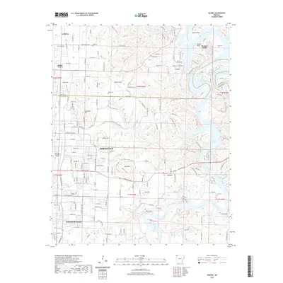
Springdale, AR maps
(27)- 1899 Map of Fayetteville, 1954 Print
 1899 Fayetteville1954 Print · USGSNorthwest Arkansas at the close of the nineteenth century was a land of expanding railroads and deep-rooted Civil War history. Genealogists and historians can trace the foundations of the Ozarks through landmarks like the Pea Ridge Battlefield, Rheas Mill, and the early rail stops at Avoca and Lowell.
 - 1901 Map of Fayetteville
 1901 Fayetteville1901 Print · USGSNorthwest Arkansas is seen here at the start of the twentieth century as railroads and trade began to reshape the Ozark foothills. Researchers can locate the Pea Ridge Battlefield and Elkhorn Tavern, or trace early industrial sites like Osage Mills and Rhea's Mill.4 unique versions available
 - 1904 Map of Fayetteville
 1904 Fayetteville1904 Print · USGSNorthwest Arkansas was a land of emerging railroads and Civil War memory at the turn of the century. Genealogists can locate family homesteads near Rhea's Mill, the Pea Ridge Battlefield, and early river crossings like Vanwinkle Ferry.
 - 1954 Map of Tulsa
 1954 Tulsa1954 Print · USGSNortheast Oklahoma and the Ozark border are shown here during a period of massive industrial and infrastructure growth. Researchers can trace the legacy of the Tri-State Mining District and the development of major reservoirs like Grand Lake O' The Cherokees.2 unique versions available
 - 1958 Map of Sonora, 1959 Print
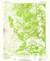 1958 Sonora1959 Print · USGSNorthwest Arkansas was entering a period of significant growth in the late fifties, as the borders of Springdale pushed toward the river bluffs. Researchers can trace ancestral locations through numerous rural landmarks like Accident Sch, Southern Grove Ch, and Nells Bluff Ford.4 unique versions available
 - 1958 Map of Tulsa, 1968 Print
 1958 Tulsa1968 Print · USGSNortheast Oklahoma and the Ozark borderlands are captured here during a massive era of reservoir construction and highway expansion. Researchers can trace the mid-century footprints of Tulsa, the sprawling Lake O' the Cherokees, and historical sites like Pea Ridge National Military Park.3 unique versions available
 - 1963 Map of Tulsa
 1963 Tulsa1963 Print · USGSThe Oklahoma and Arkansas borderlands are shown here in the early sixties, a time of massive reservoir construction and heavy mining. Genealogists can trace family roots through settlements like Nowata, Pryor, and Jay, or locate historical zinc and lead mines and coal mines.
 - 1970 Map of Robinson, 1972 Print
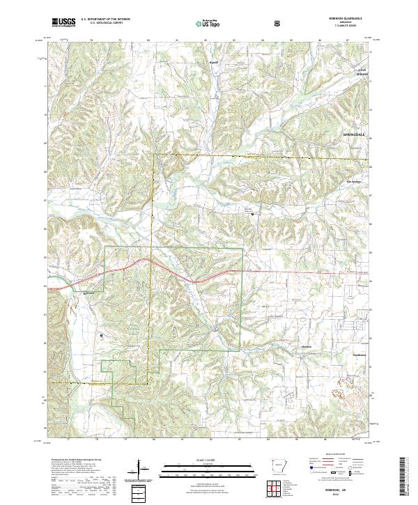
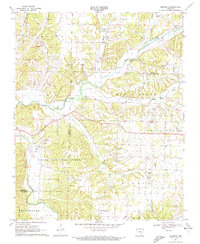 1970 Robinson1972 Print · USGSThe rural landscapes of Washington and Benton Counties are captured here in the early 1970s. Trace the history of country congregations and local research at White Oak Ch, Thornsberry Ch, and the University of Arkansas Agricultural Experiment Station.3 unique versions available
 - 1970 Map of Springdale, 1972 Print
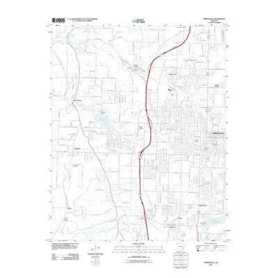
 1970 Springdale1972 Print · USGSSpringdale and its neighbors in Washington and Benton counties are captured during a period of suburban expansion in the 1970s. Genealogists and local historians can locate specific landmarks like St Joseph Cem, New Hope Ch, and the old Salem Sch.3 unique versions available
 - 1979 Map of Fayetteville, 1980 Print
 1979 Fayetteville1980 Print · USGSNorthwest Arkansas and the tristate corner show a booming corridor of rail-linked towns and highland forests in the late seventies. Researchers can trace historic landmarks like Pea Ridge National Military Park, the Frisco RR, and the University of Arkansas.2 unique versions available
 - 1994 Map of Springdale, 1998 Print
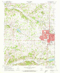
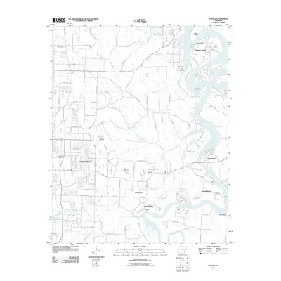
 1994 Springdale1998 Print · USGSNorthwest Arkansas was undergoing rapid expansion in the 1990s as the urban centers of Springdale and Johnson began to merge. Researchers can trace family sites and old landmarks like Silent Grove Ch, Lake Elmdale, and the St Louis-San Francisco RR.
 - 1994 Map of Sonora, 1998 Print
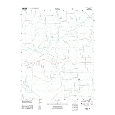
 1994 Sonora1998 Print · USGSThe White River valley east of Springdale comes into focus in the mid-1990s as suburban growth meets rural Arkansas tradition. Genealogists and local historians can trace legacy sites like Accident Sch, Phillips Cem, and the small settlement of Sonora.
 - 2011 Map of Sonora, 2011 Print
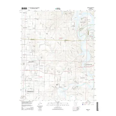
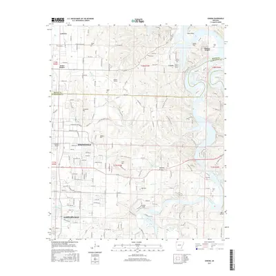
 2011 Sonora2011 Print · USGSCovers Springdale, including Fayetteville, Lowell, and other nearby areas
 - 2011 Map of Springdale, 2011 Print
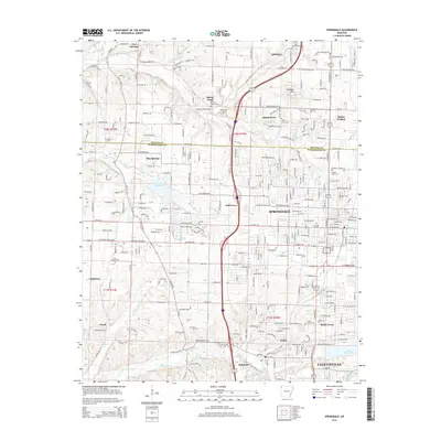
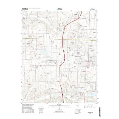
 2011 Springdale2011 Print · USGSCovers Springdale, including Fayetteville, Lowell, and other nearby areas
 - 2011 Map of Robinson, 2011 Print
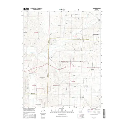
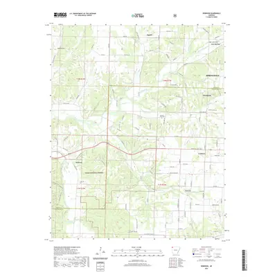
 2011 Robinson2011 Print · USGSCovers Springdale, including Elm Springs, Tontitown, and other nearby areas
 - 2014 Map of Springdale, 2014 Print
 2014 Springdale2014 Print · USGSCovers Springdale, including Fayetteville, Lowell, and other nearby areas
 - 2014 Map of Robinson, 2014 Print
 2014 Robinson2014 Print · USGSCovers Springdale, including Elm Springs, Tontitown, and other nearby areas
 - 2014 Map of Sonora, 2014 Print
 2014 Sonora2014 Print · USGSCovers Springdale, including Fayetteville, Lowell, and other nearby areas
 - 2017 Map of Robinson, 2017 Print
 2017 Robinson2017 Print · USGSCovers Springdale, including Elm Springs, Tontitown, and other nearby areas
 - 2017 Map of Springdale, 2017 Print
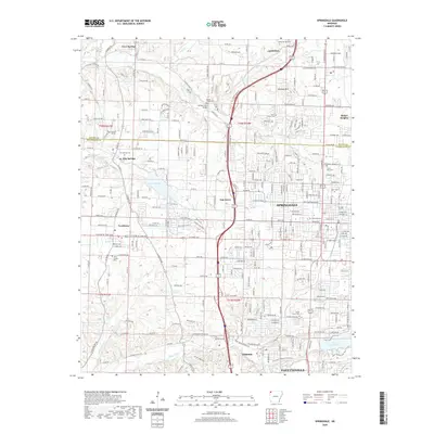
 2017 Springdale2017 Print · USGSCovers Springdale, including Fayetteville, Lowell, and other nearby areas
 - 2017 Map of Sonora, 2017 Print
 2017 Sonora2017 Print · USGSCovers Springdale, including Fayetteville, Lowell, and other nearby areas
 - 2020 Map of Springdale, 2020 Print
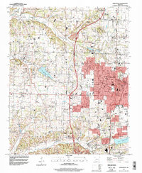
 2020 Springdale2020 Print · USGSCovers Springdale, including Fayetteville, Lowell, and other nearby areas
 - 2020 Map of Robinson, 2020 Print
 2020 Robinson2020 Print · USGSCovers Springdale, including Elm Springs, Tontitown, and other nearby areas
 - 2020 Map of Sonora, 2020 Print
 2020 Sonora2020 Print · USGSCovers Springdale, including Fayetteville, Lowell, and other nearby areas
 - 2024 Map of Robinson, 2024 Print
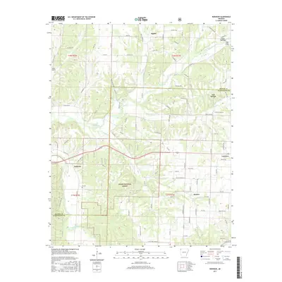
 2024 Robinson2024 Print · USGSNorthwest Arkansas at the edge of the Ozarks reveals a landscape of developing towns and rural homesteads. Genealogists can trace family names through the Echo Dell - Burks Cem or locate the historic settlement of Robinson near the Illinois River.
Showing maps 1-25 of 27
Top cities near Springdale
- Fayetteville historical maps
- Rogers historical maps
- Bentonville historical maps
- Bella Vista historical maps
- Centerton historical maps
- Lowell historical maps
See more
Top neighborhoods of Springdale
- Silent Grove historical maps
- Oak Grove historical maps
- Spring Creek historical maps
- Shady Grove historical maps
- Bethel Heights historical maps
Frequently asked questions
- What are the different types of historical maps available for Springdale?
- What is the oldest map of Springdale?
- Where can I purchase historical maps of Springdale for my home or office?
- Where can I download high-res historical maps of Springdale?
- Are there historical topographic maps available for Springdale?
- Is there historical aerial imagery available for Springdale?
- Where are historical maps of Springdale sourced from?