Old Maps of Democrat, Arkansas for Genealogy
Trace your family roots with 12 historic maps of Democrat. These high-res maps reveal old neighborhoods, homesites, landmarks, and streets — helping you uncover where your ancestors lived and how the area evolved over time.
- Explore historic neighborhoods: Identify where your relatives may have lived in the 1800s or 1900s.
- Compare maps over time: Trace the changes in streets, buildings, and landmarks for multi-generational research.
- Perfect for genealogy & ancestry research: Used by family historians and researchers to map out lineage and migration.
These maps are an incredible resource for exploring your personal connection to Democrat's past.
Democrat, AR maps
(12)- 1939 Map of Edmondson, 1942 Print
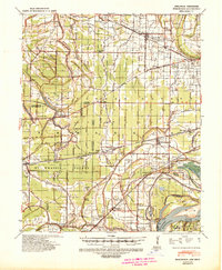 1939 Edmondson1942 Print · USGSCrittenden and St. Francis Counties are shown in the late thirties as a landscape of rail-connected farming towns and bayous. Genealogists can locate family landmarks like Garrett Cem, Macedonia Ch, and the combined Bellmeade Sch & Ch.
 - 1953 Map of Memphis, 1966 Print
 1953 Memphis1966 Print · USGSEastern Arkansas and the Memphis riverfront are shown here during the mid-century period of regional growth and river management. Local historians can trace the paths of the Chicago Rock Island & Pacific RR through Forrest City or locate river landmarks like President's Island.3 unique versions available
 - 1954 Map of Edmondson, 1955 Print
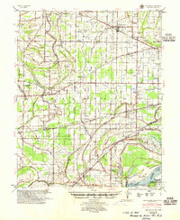 1954 Edmondson1955 Print · USGSCrittenden and St. Francis counties in the mid-fifties show a landscape of intricate Delta bayous and growing rural settlements. Genealogists can trace family roots through numerous local landmarks like Truevine Ch & Cem, Greasy Corner, and Crawfordsville.2 unique versions available
 - 1956 Map of Memphis
 1956 Memphis1956 Print · USGSThe Mississippi Delta and the bluffs of West Tennessee meet in the mid-fifties, showing a landscape defined by massive river systems and rail hubs. Researchers can trace the path of Crowleys Ridge or locate vanished river landings near Centennial Island and Island No 35.
 - 1975 Map of Edmondson SW, 1976 Print
 1975 Edmondson SW1976 Print · USGSSt. Francis County in the mid-1970s is shown here through detailed aerial photography of its rural farming communities. Local historians can trace the landscape around Greasy Corner, Heth, and the winding course of Fifteenmile Bayou.
 - 1981 Map of Chatfield, 1982 Print
 1981 Chatfield1982 Print · USGSThe Arkansas Delta near the St. Francis and Crittenden county line is captured here in the early eighties as a landscape of managed bayous and small rural crossroads. Genealogists can locate family landmarks like Mt Zion Cem, Greasy Corner, and Chatfield.2 unique versions available
 - 1986 Map of Memphis West
 1986 Memphis West1986 Print · USGSThe Mississippi River delta and the rise of Crowleys Ridge define this mid-1980s look at the Mid-South. Researchers can trace the development of West Memphis and Marion or locate landmarks like Crittenden Mem Cem and Village Creek State Park.2 unique versions available
 - 2011 Map of Chatfield, 2011 Print
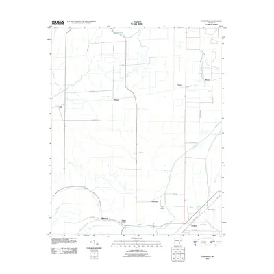 2011 Chatfield2011 Print · USGSCovers Democrat, including Browns, Wildwood, and other nearby areas
 - 2014 Map of Chatfield, 2014 Print
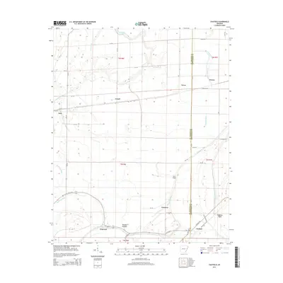 2014 Chatfield2014 Print · USGSCovers Democrat, including Browns, Wildwood, and other nearby areas
 - 2017 Map of Chatfield, 2017 Print
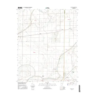 2017 Chatfield2017 Print · USGSCovers Democrat, including Browns, Wildwood, and other nearby areas
 - 2020 Map of Chatfield, 2020 Print
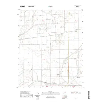 2020 Chatfield2020 Print · USGSCovers Democrat, including Browns, Wildwood, and other nearby areas
 - 2024 Map of Chatfield, 2024 Print
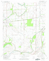
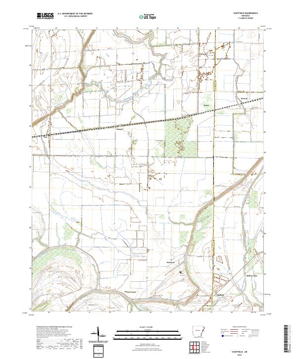 2024 Chatfield2024 Print · USGSThe Arkansas Delta comes into focus in the early twenty-first century as the borderlands of St. Francis and Crittenden counties reveal a landscape of bayous and farmsteads. Researchers can trace local heritage through the Mount Zion Cemetery and rural settlements like Greasy Corner and Democrat.
End of results
Showing maps 1-12 of 12
Top cities near Democrat
- Memphis historical maps
- West Memphis historical maps
- Marion historical maps
- Hughes historical maps
- Parkin historical maps
- Walls historical maps
See more
Frequently asked questions
- What are the different types of historical maps available for Democrat?
- What is the oldest map of Democrat?
- Where can I purchase historical maps of Democrat for my home or office?
- Where can I download high-res historical maps of Democrat?
- Are there historical topographic maps available for Democrat?
- Is there historical aerial imagery available for Democrat?
- Where are historical maps of Democrat sourced from?