Old Maps of New Home, Arkansas for Academic Research
Study the evolution of New Home with 13 high-resolution historic maps. Whether you're teaching, researching, or modeling changes in land use, these maps provide essential visual documentation of urban, environmental, and geographic change.
- Analyze long-term change: Track patterns in development, transportation, and natural features.
- Ideal for environmental or urban studies: Support academic projects with primary historical map data.
- Use in the classroom or lab: Educators and researchers rely on these maps to bring historical context to life.
These maps are a powerful tool for teaching, research, and visualizing how New Home has changed over the decades.
New Home, AR maps
(13)- 1940 Map of Whitmore, 1942 Print
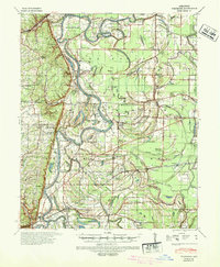 1940 Whitmore1942 Print · USGSSt. Francis County in the early 1940s shows a complex river-and-rail landscape shaped by the meanders of the St Francis River. Researchers can trace old family settlements and rural institutions like Wittsburg, the Church of Bethlehem, and Walters Cem.2 unique versions available
 - 1953 Map of Memphis, 1966 Print
 1953 Memphis1966 Print · USGSEastern Arkansas and the Memphis riverfront are shown here during the mid-century period of regional growth and river management. Local historians can trace the paths of the Chicago Rock Island & Pacific RR through Forrest City or locate river landmarks like President's Island.3 unique versions available
 - 1956 Map of Memphis
 1956 Memphis1956 Print · USGSThe Mississippi Delta and the bluffs of West Tennessee meet in the mid-fifties, showing a landscape defined by massive river systems and rail hubs. Researchers can trace the path of Crowleys Ridge or locate vanished river landings near Centennial Island and Island No 35.
 - 1956 Map of Whitmore, 1957 Print
 1956 Whitmore1957 Print · USGSThe St. Francis River delta was a landscape of intricate oxbows and rural congregations in the mid-fifties. Genealogists can trace family roots at Shiloh Ch & Cem or Locust Grove Ch & Cem and locate vanished school sites like Reiff Sch.
 - 1960 Map of Whitmore, 1966 Print
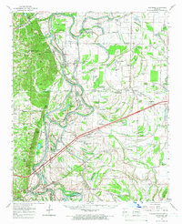 1960 Whitmore1966 Print · USGSIn the Arkansas delta during the early sixties, the river loops and rail lines shaped every community. Genealogists can trace family landmarks like Wittsburg Cem, Newcastle, and rural schools such as Campbell Sch near the Missouri Pacific RR.
 - 1965 Map of Whitmore
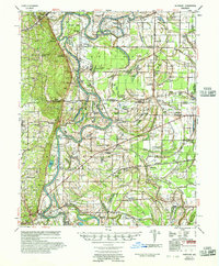
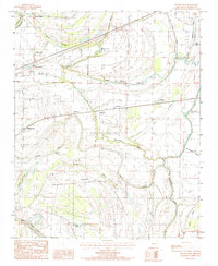
 1965 Whitmore1965 Print · USGSEastern Arkansas at the mid-century reveals a landscape shaped by the St Francis River and the high ground of Crowley s Ridge. Researchers can trace the heritage of rural communities through dozens of landmarks like Wittsburg Cemetery, Harris Chapel, and Campbell Sch.
 - 1984 Map of Round Pond, 1985 Print
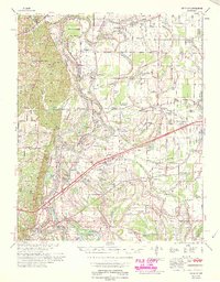
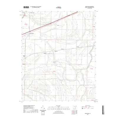
 1984 Round Pond1985 Print · USGSThe Arkansas Delta of the mid-1980s comes to life in this detailed survey of St. Francis County. Researchers can trace the layout of small settlements like Whitmore, Round Pond, and Hicks Station alongside the winding course of Blackfish Bayou.2 unique versions available
 - 1986 Map of Memphis West
 1986 Memphis West1986 Print · USGSThe Mississippi River delta and the rise of Crowleys Ridge define this mid-1980s look at the Mid-South. Researchers can trace the development of West Memphis and Marion or locate landmarks like Crittenden Mem Cem and Village Creek State Park.2 unique versions available
 - 2011 Map of Round Pond, 2011 Print
 2011 Round Pond2011 Print · USGSCovers New Home, including Hicks Station, Whitmore, and other nearby areas
 - 2014 Map of Round Pond, 2014 Print
 2014 Round Pond2014 Print · USGSCovers New Home, including Hicks Station, Whitmore, and other nearby areas
 - 2017 Map of Round Pond, 2017 Print
 2017 Round Pond2017 Print · USGSCovers New Home, including Hicks Station, Whitmore, and other nearby areas
 - 2020 Map of Round Pond, 2020 Print
 2020 Round Pond2020 Print · USGSCovers New Home, including Hicks Station, Whitmore, and other nearby areas
 - 2024 Map of Round Pond, 2024 Print
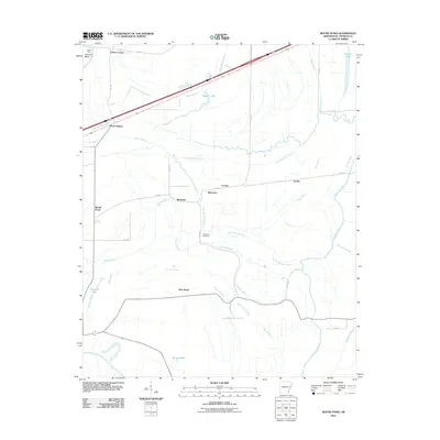
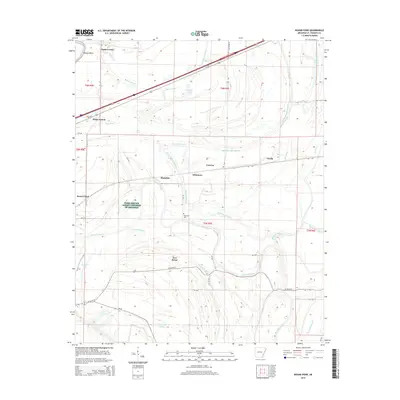
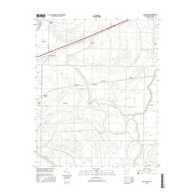
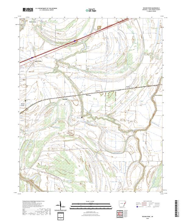 2024 Round Pond2024 Print · USGSSt. Francis County, Arkansas, is shown in this detailed contemporary record of its bayous and small farming settlements. Researchers can trace the layout of family-named landmarks like Hicks Station and Clarks Corner or locate Thunderbird Cem.
End of results
Showing maps 1-13 of 13
Top cities near New Home
- Forrest City historical maps
- Wynne historical maps
- Hughes historical maps
- Parkin historical maps
- Madison historical maps
- Widener historical maps
See more
Frequently asked questions
- What are the different types of historical maps available for New Home?
- What is the oldest map of New Home?
- Where can I purchase historical maps of New Home for my home or office?
- Where can I download high-res historical maps of New Home?
- Are there historical topographic maps available for New Home?
- Is there historical aerial imagery available for New Home?
- Where are historical maps of New Home sourced from?