Old Maps of Clinton, Arkansas for Academic Research
Study the evolution of Clinton with 21 high-resolution historic maps. Whether you're teaching, researching, or modeling changes in land use, these maps provide essential visual documentation of urban, environmental, and geographic change.
- Analyze long-term change: Track patterns in development, transportation, and natural features.
- Ideal for environmental or urban studies: Support academic projects with primary historical map data.
- Use in the classroom or lab: Educators and researchers rely on these maps to bring historical context to life.
These maps are a powerful tool for teaching, research, and visualizing how Clinton has changed over the decades.
Clinton, AR maps
(21)- 1892 Map of Mountain View
 1892 Mountain View1892 Print · USGSThe Arkansas Ozarks are mapped here in the late nineteenth century, a time when river ferries and fords were the primary connections between isolated mountain towns. Trace the early streets of Mountain View and Clinton, or locate old crossings at Upper Fy. and Wilsons Fd.
 - 1894 Map of Mountain View
 1894 Mountain View1894 Print · USGSThe Arkansas Ozark foothills and river valleys are shown in the 1890s as a network of isolated homesteads and river landings. Genealogists can trace early families near Mountain View, Clinton, and river crossings like Upper Fy. or Goffs Cove.5 unique versions available
 - 1956 Map of Russellville
 1956 Russellville1956 Print · USGSThe Arkansas River valley and the surrounding Boston Mountains are captured here in the mid-fifties, showing a landscape of small timber towns and new reservoirs. Genealogists can trace family roots through upland settlements like Pelsor and Witts Springs or locate the campus of Arkansas Polytechnic College.2 unique versions available
 - 1964 Map of Russellville
 1964 Russellville1964 Print · USGSMid-century Central Arkansas is defined here by the river-valley towns and the surrounding mountain ranges before the full expansion of the interstate system. Genealogists and historians can trace rail-town development along the Missouri Pacific Railroad and locate landmarks like Arkansas Polytechnic College or Petit Jean State Park.
 - 1973 Map of Clinton, 1975 Print
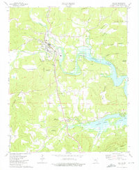 1973 Clinton1975 Print · USGSClinton and the surrounding Arkansas Ozarks are captured here during the 1970s as the rising waters of Greers Ferry Lake transformed the river valleys. Genealogists and local historians can trace rural roots at Pee Dee Cemetery, Christadelphian Church, and the settlement of Choctaw.2 unique versions available
 - 1973 Map of Old Lexington, 1975 Print
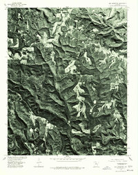
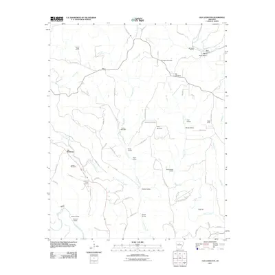
 1973 Old Lexington1975 Print · USGSVan Buren and Stone counties are shown here in the early seventies, a landscape of high ridges and deep hollows. Researchers can locate the early settlements of Old Lexington and Old Botkinburg, alongside family landmarks like Holly Mountain Cem and Natural Bridge.2 unique versions available
 - 1976 Map of Old Lexington, 1977 Print
 1976 Old Lexington1977 Print · USGSVan Buren County in the mid-1970s is captured in this detailed aerial perspective of the Ozark foothills. Researchers can trace the rural layout of Old Lexington and Old Botkinburg while following the path of the Middle Fork Little Red River.
 - 1977 Map of Russellville
 1977 Russellville1977 Print · USGSThe Arkansas River Valley and surrounding Ozark Mountains are documented here during a period of significant postwar growth and infrastructure development. Genealogists and researchers can locate family landmarks such as Mount Carmel Cem, St Josephs Church, and several remote Coal Mine sites along the Missouri Pacific RR line.
 - 1983 Map of Mountain View
 1983 Mountain View1983 Print · USGSNorth-central Arkansas comes into sharp focus during the early eighties, showing the transition from traditional Ozark mountain settlements to a landscape shaped by major reservoirs. Genealogists and historians can trace family roots through mountain hamlets like Snowball, Witts Springs, and Timbo, or locate landmarks such as Zion Hill Church and the Missouri Pacific Railroad.
 - 1984 Map of Russellville
 1984 Russellville1984 Print · USGSThe Arkansas River valley was undergoing significant change in the 1950s as transportation and water management reshaped the region from Russellville to Conway. Researchers can trace the era's rail networks like the Missouri Pacific RR and explore landmarks like Magazine Mountain and Petit Jean State Park.
 - 1992 Map of Russellville, 1993 Print
 1992 Russellville1993 Print · USGSCentral Arkansas in the early nineties shows a landscape defined by the Arkansas River valley and the surrounding national forests. Trace the development of river towns like Russellville and Dardanelle alongside landmarks such as Lake Dardanelle and Magazine Mtn.
 - 2011 Map of Clinton, 2011 Print
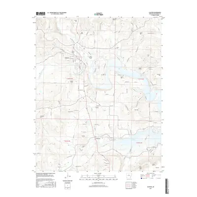
 2011 Clinton2011 Print · USGSCovers Clinton, including Pee Dee, Green Tree, and other nearby areas
 - 2011 Map of Old Lexington, 2011 Print
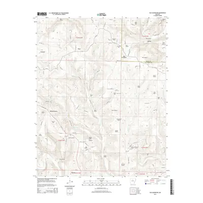
 2011 Old Lexington2011 Print · USGSCovers Clinton, including Plant, Old Lexington, and other nearby areas
 - 2014 Map of Old Lexington, 2014 Print
 2014 Old Lexington2014 Print · USGSCovers Clinton, including Plant, Old Lexington, and other nearby areas
 - 2014 Map of Clinton, 2014 Print
 2014 Clinton2014 Print · USGSCovers Clinton, including Pee Dee, Green Tree, and other nearby areas
 - 2017 Map of Clinton, 2017 Print
 2017 Clinton2017 Print · USGSCovers Clinton, including Pee Dee, Green Tree, and other nearby areas
 - 2017 Map of Old Lexington, 2017 Print
 2017 Old Lexington2017 Print · USGSCovers Clinton, including Plant, Old Lexington, and other nearby areas
 - 2020 Map of Old Lexington, 2020 Print
 2020 Old Lexington2020 Print · USGSCovers Clinton, including Plant, Old Lexington, and other nearby areas
 - 2020 Map of Clinton, 2020 Print
 2020 Clinton2020 Print · USGSCovers Clinton, including Pee Dee, Green Tree, and other nearby areas
 - 2024 Map of Clinton, 2024 Print
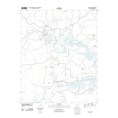
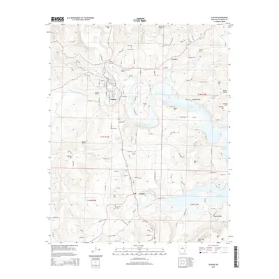
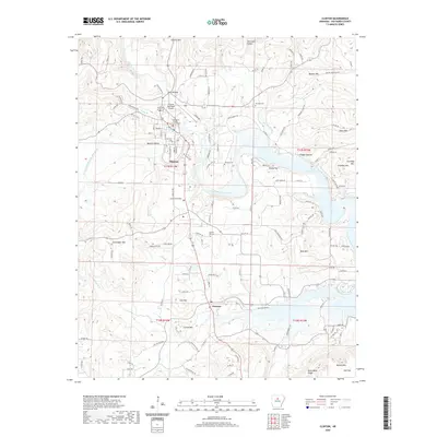
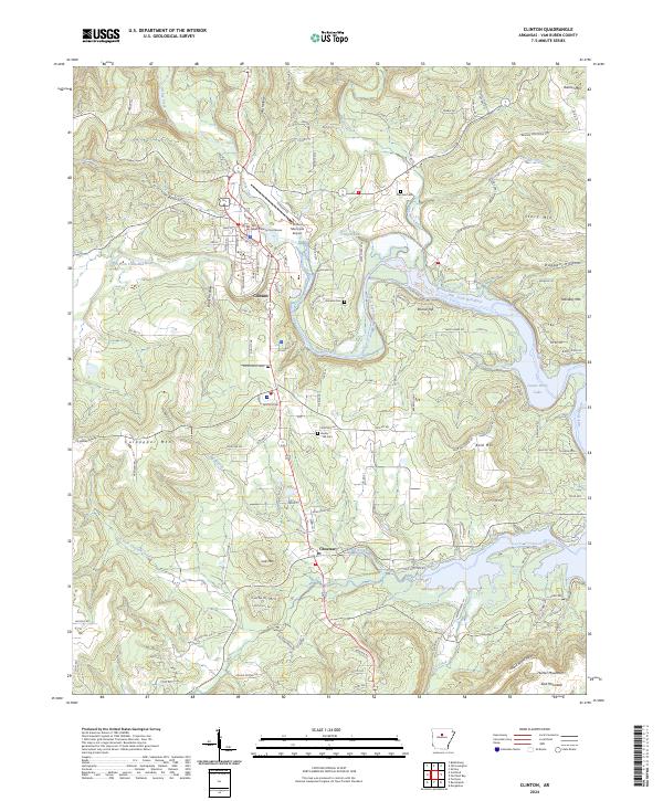 2024 Clinton2024 Print · USGSClinton and the South Fork of the Little Red River are shown in detail as they appeared in the early twenty-first century. Researchers can trace land tracts near the Van Buren County Courthouse or locate family graves at Pee-Dee Cem and Johnson Cem.
 - 2024 Map of Old Lexington, 2024 Print
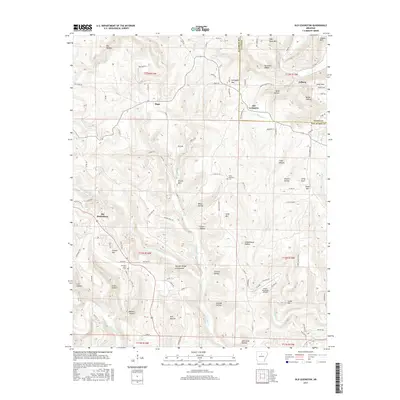
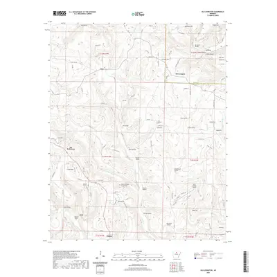
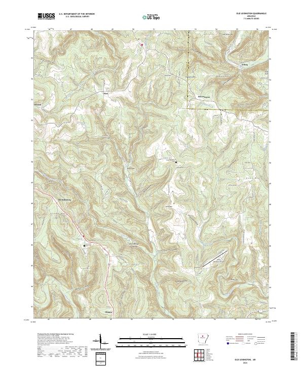 2024 Old Lexington2024 Print · USGSThe Van Buren County highlands are shown here in the mid-2020s, revealing a landscape of remote settlements and deep hollows. Researchers can locate family landmarks like Holly Mountain Cem, the geological Natural Bridge of Arkansas, and the historic site of Old Botkinburg.
End of results
Showing maps 1-21 of 21
Top cities near Clinton
Frequently asked questions
- What are the different types of historical maps available for Clinton?
- What is the oldest map of Clinton?
- Where can I purchase historical maps of Clinton for my home or office?
- Where can I download high-res historical maps of Clinton?
- Are there historical topographic maps available for Clinton?
- Is there historical aerial imagery available for Clinton?
- Where are historical maps of Clinton sourced from?