Old Maps of Goshen, Arkansas for Metal Detecting
Plan your next treasure hunt with 35 historic maps of Goshen. Find old homesites, ghost towns, trails, and gathering spots that may be lost to time — perfect for identifying promising metal detecting locations.
- Locate forgotten sites: Uncover places like long-lost settlements, abandoned rail lines, or gathering spots.
- Plan better hunts: Use map overlays combined with LiDAR or satellite views to narrow in on historically rich areas.
- Made for detectorists: Thousands of hobbyists use these maps to discover relics, coins, and hidden history.
Use these historic maps to boost your research and find new opportunities beneath the surface of Goshen.
Goshen, AR maps
(35)- 1899 Map of Fayetteville, 1954 Print
 1899 Fayetteville1954 Print · USGSNorthwest Arkansas at the close of the nineteenth century was a land of expanding railroads and deep-rooted Civil War history. Genealogists and historians can trace the foundations of the Ozarks through landmarks like the Pea Ridge Battlefield, Rheas Mill, and the early rail stops at Avoca and Lowell.
 - 1900 Map of Eureka Springs, 1954 Print
 1900 Eureka Springs1954 Print · USGSThe Ozark Mountains around the Arkansas and Missouri border are shown here during the turn of the century, when the river-and-rail economy was firmly established. Researchers can locate early family crossings and landmarks like Knox Ferry, Pivot Rock, and the St. Louis & San Francisco R. R.
 - 1901 Map of Eureka Springs
 1901 Eureka Springs1901 Print · USGSThe Arkansas Ozarks at the turn of the century are captured here in a time of river ferries and mountain townships. Genealogists and historians can locate early settlements like Eureka Springs and Berryville, or trace historic crossings such as Knox Ferry and Ellis Ford.3 unique versions available
 - 1901 Map of Fayetteville
 1901 Fayetteville1901 Print · USGSNorthwest Arkansas is seen here at the start of the twentieth century as railroads and trade began to reshape the Ozark foothills. Researchers can locate the Pea Ridge Battlefield and Elkhorn Tavern, or trace early industrial sites like Osage Mills and Rhea's Mill.4 unique versions available
 - 1904 Map of Fayetteville
 1904 Fayetteville1904 Print · USGSNorthwest Arkansas was a land of emerging railroads and Civil War memory at the turn of the century. Genealogists can locate family homesteads near Rhea's Mill, the Pea Ridge Battlefield, and early river crossings like Vanwinkle Ferry.
 - 1945 Map of Harrison
 1945 Harrison1945 Print · USGSThe Ozark and Boston Mountains straddle the Missouri-Arkansas border during the mid-forties, showing a landscape of forest ridges and river valleys. Genealogists and historians can trace rail-connected towns like Monett and West Plains or early lake developments at Bull Shoals Res and Norfork Lake.
 - 1949 Map of Harrison
 1949 Harrison1949 Print · USGSThe Ozark highlands of northern Arkansas and southern Missouri are shown just after the war, when the White River still followed its original course. Genealogists and historians can trace rail lines like the Missouri & Arkansas RR and locate rural hubs like Harrison, Eureka Springs, and Mountain Home.
 - 1954 Map of Harrison
 1954 Harrison1954 Print · USGSThe Ozarks and Boston Mountains meet during a period of massive river engineering in the mid-fifties. Researchers can trace the early shorelines of Bull Shoals Lake and Table Rock Reservoir or locate inland towns like Berryville and Harrison.
 - 1954 Map of Tulsa
 1954 Tulsa1954 Print · USGSNortheast Oklahoma and the Ozark border are shown here during a period of massive industrial and infrastructure growth. Researchers can trace the legacy of the Tri-State Mining District and the development of major reservoirs like Grand Lake O' The Cherokees.2 unique versions available
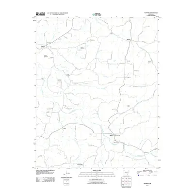
 - 1958 Map of Goshen, 1959 Print
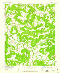 1958 Goshen1959 Print · USGSThe foothills of Washington and Madison counties are shown here in the late fifties as a network of small settlements and family farms. Researchers can trace local history through sites like the Richland Tabernacle, Tisdale Ford, and the Benson Lookout Tower.3 unique versions available
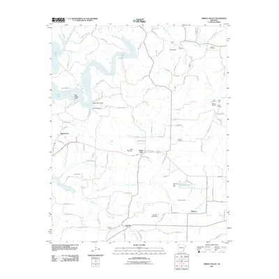
 - 1958 Map of Spring Valley, 1959 Print
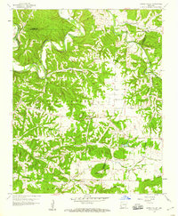 1958 Spring Valley1959 Print · USGSNorthwest Arkansas in the late fifties was a landscape of winding river valleys and dispersed family homesteads at the intersection of three counties. Genealogists can trace family names through rural burial grounds like Austin Cem and Whitener Cem or locate the old Pilgrims Rest Sch.3 unique versions available
 - 1958 Map of Elkins, 1959 Print
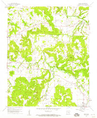 1958 Elkins1959 Print · USGSThe White River valley in the late fifties is captured here at a time of established rural communities and family-run farmsteads. Researchers can locate many ancestral sites like St Joseph Cem, Buckner Ch, and the settlement of Baldwin.3 unique versions available
 - 1958 Map of Tulsa, 1968 Print
 1958 Tulsa1968 Print · USGSNortheast Oklahoma and the Ozark borderlands are captured here during a massive era of reservoir construction and highway expansion. Researchers can trace the mid-century footprints of Tulsa, the sprawling Lake O' the Cherokees, and historical sites like Pea Ridge National Military Park.3 unique versions available
 - 1958 Map of Harrison, 1973 Print
 1958 Harrison1973 Print · USGSThe Ozark and Boston Mountains appear in this mid-century survey as the great White River impoundments were reshaping the region. Researchers can trace the rail lines of the St Louis-San Francisco Ry and locate early settlements like Berryville and Gainesville.
 - 1963 Map of Tulsa
 1963 Tulsa1963 Print · USGSThe Oklahoma and Arkansas borderlands are shown here in the early sixties, a time of massive reservoir construction and heavy mining. Genealogists can trace family roots through settlements like Nowata, Pryor, and Jay, or locate historical zinc and lead mines and coal mines.
 - 1964 Map of Harrison
 1964 Harrison1964 Print · USGSThe Ozark and Boston Mountains of Arkansas and Missouri are captured here in the mid-sixties, showing the rugged highlands before extensive modern development. Genealogists and historians can trace family-named peaks like Gaither Mountain and follow the St Louis-San Francisco RR through Monett and Purdy.
 - 1979 Map of Fayetteville, 1980 Print
 1979 Fayetteville1980 Print · USGSNorthwest Arkansas and the tristate corner show a booming corridor of rail-linked towns and highland forests in the late seventies. Researchers can trace historic landmarks like Pea Ridge National Military Park, the Frisco RR, and the University of Arkansas.2 unique versions available
 - 1985 Map of Harrison
 1985 Harrison1985 Print · USGSNorthwest Arkansas and southwest Missouri appear in the mid-eighties as a region of deep river valleys and high Ozark ridges. Researchers can trace rural life across several counties, locating the Bear Creek Springs Quarry, the winding Buffalo National River, and hilltop settlements like Alpena.
 - 1985 Map of Harrison
 1985 Harrison1985 Print · USGSThe Ozark highlands and the White River valley are seen here in the mid-1980s, showcasing a region defined by its massive reservoirs and protected wilderness. You can trace the rugged corridors of the Missouri & North Arkansas RR or locate historic settlements like Eureka Springs and Jasper.
 - 1994 Map of Elkins, 1998 Print
 1994 Elkins1998 Print · USGSEastern Washington County appears in the mid-1990s as a landscape of river forks and mountain ridges just before significant modern expansion. Family historians can locate several historic burial grounds like Birkhead Cem and Strain Cem, or trace the rural origins of Habberton and Baldwin.
 - 2011 Map of Elkins, 2011 Print
 2011 Elkins2011 Print · USGSCovers Goshen, including Fayetteville, Elkins, and other nearby areas
 - 2011 Map of Goshen, 2011 Print
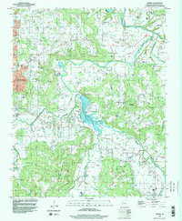
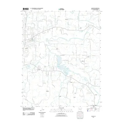
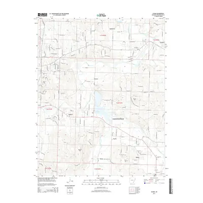
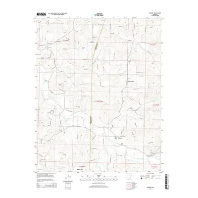
 2011 Goshen2011 Print · USGSCovers Goshen, including Cross Roads, Buckeye, and other nearby areas
 - 2011 Map of Spring Valley, 2011 Print
 2011 Spring Valley2011 Print · USGSCovers Goshen, including Pilgrims Rest, Mayfield, and other nearby areas
 - 2014 Map of Elkins, 2014 Print
 2014 Elkins2014 Print · USGSCovers Goshen, including Fayetteville, Elkins, and other nearby areas
 - 2014 Map of Goshen, 2014 Print
 2014 Goshen2014 Print · USGSCovers Goshen, including Cross Roads, Buckeye, and other nearby areas
Showing maps 1-25 of 35
Top cities near Goshen
- Fayetteville historical maps
- Springdale historical maps
- Rogers historical maps
- Bentonville historical maps
- Lowell historical maps
- Farmington historical maps
See more
Frequently asked questions
- What are the different types of historical maps available for Goshen?
- What is the oldest map of Goshen?
- Where can I purchase historical maps of Goshen for my home or office?
- Where can I download high-res historical maps of Goshen?
- Are there historical topographic maps available for Goshen?
- Is there historical aerial imagery available for Goshen?
- Where are historical maps of Goshen sourced from?