Old Maps of Barber, Chico for Hiking & Exploration
Hike through history with 14 historic maps of Barber. Explore old trails, ghost towns, and forgotten backroads — perfect for outdoor adventurers and local explorers.
- Rediscover forgotten places: Map out old mining camps, roads, and footpaths that no longer exist on modern maps.
- Layer with modern tools: Combine with LiDAR or satellite views to plan hikes through historical terrain.
- Made for exploration: Popular among hikers, overlanders, and local history lovers.
Use these maps to find adventure and explore the hidden past of Barber.
Barber, Chico maps
(14)- 1891 Map of Chico
 1891 Chico1891 Print · USGSUpper Sacramento Valley life in the late nineteenth century revolved around the rail lines and river landings of Chico and Oroville. Genealogists and researchers can trace the early layout of mountain settlements like Magalia and Nimshew or locate old industrial sites including Keefers Old Mill and Doons Mill.
 - 1893 Map of Chico
 1893 Chico1893 Print · USGSNorthern California at the height of the nineteenth-century rail and ranching era reveals a network of valley landings and mountain mining camps. Genealogists and historians can trace family locations from Chico to remote spots like Helltown, Old Lovelock, and the Lucretia Mine.
 - 1895 Map of Chico
 1895 Chico1895 Print · USGSNorthern California at the close of the nineteenth century reveals a landscape defined by the Southern Pacific R. R. and early foothill industry. Trace the locations of historic lumber and mining operations like Keefer's Mill, Lucky Jim Mine, and Chapman's Mill.8 unique versions available
 - 1912 Map of Durham
 1912 Durham1912 Print · USGSNorthern Sacramento Valley industry and agriculture thrive in the decade before the Great War. Genealogists can trace the early streets of Chico, the worker housing at Barber, and rural schools like York School near the Diamond Match Factory.
 - 1948 Map of Chico, 1955 Print
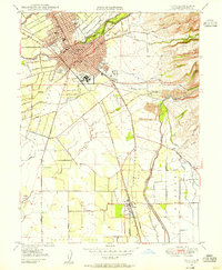 1948 Chico1955 Print · USGSNorthern California at the dawn of the fifties shows a bustling college town integrated with heavy industry and agriculture. Genealogists can trace family footprints from the Diamond Match Factory to the Durham Cem or the classrooms of the State College.5 unique versions available
 - 1949 Map of Chico, 1953 Print
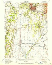 1949 Chico1953 Print · USGSMid-century Butte County thrives along the river and rail, from the academic center of Chico to the agricultural hubs of Durham and Nelson. Genealogists and researchers can trace local landmarks like Chico Cem, the Match Factory, and the Sacramento Northern railroad.3 unique versions available
 - 1950 Map of Chico
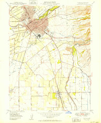 1950 Chico1950 Print · USGSChico and its surrounding ranchos are captured in detail during the post-war era, showing the city's expansion alongside the Southern Pacific tracks. Genealogists and researchers can trace local landmarks like the Diamond Match Factory, Durham Cem, and the State College campus.2 unique versions available
 - 1958 Map of Chico, 1962 Print
 1958 Chico1962 Print · USGSMid-century Northern California comes to life across the Central Valley and high Sierras as the postwar economy transformed the landscape. Trace the rail lines of the Southern Pacific RR, locate family roots near Chico Cem, or explore the early layout of Paradise and Beale Air Force Base.4 unique versions available
 - 1960 Map of Chico
 1960 Chico1960 Print · USGSThe Northern California high country and Sacramento Valley meet in this 1960s-era landscape of mining towns and river settlements. Trace the rail-and-water economy of the gold country through the Empire Mine, Beale Air Force Base, and the Western Pacific Railroad.
 - 1980 Map of Chico
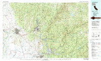 1980 Chico1980 Print · USGSButte County and the Sierra foothills are shown here in the 1980s as the region's water and timber economies matured. Genealogists and researchers can trace old land grants like Rancho Capay or locate mountain mining sites and settlements such as Cherokee, Magalia, and the Big Bend Mine.2 unique versions available
 - 2012 Map of Chico, 2012 Print
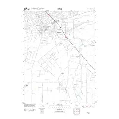 2012 Chico2012 Print · USGSChico and its surrounding Butte County agricultural lands are captured here in the early twenty-first century. Researchers can trace the layout of California State University-Chico, identify the Diamond Match Factory, and locate family plots at Durham Cemetery.
 - 2015 Map of Chico, 2015 Print
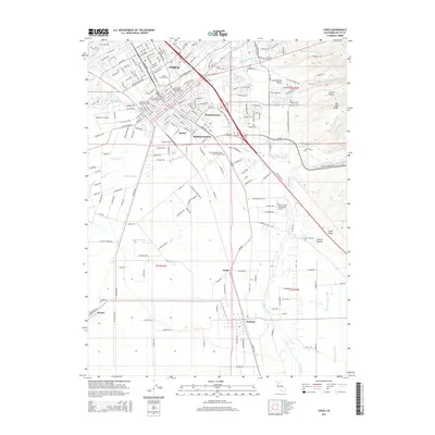 2015 Chico2015 Print · USGSChico and the surrounding agricultural lands of Butte County are shown here in the mid-2010s, capturing the city's modern footprint and outlying rural communities. Researchers can locate family sites at Chico Cemetery or Durham Cemetery and trace the complex water networks of Lindo Channel and Butte Creek.
 - 2018 Map of Chico, 2018 Print
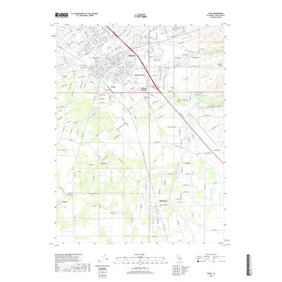 2018 Chico2018 Print · USGSButte County's agricultural and academic heart thrives in this contemporary look at the greater Chico area. Family historians can locate several rural burial sites like Dayton Cem and trace historic water lines such as Crouch Ditch and the Butte Creek system.
 - 2021 Map of Chico, 2021 Print
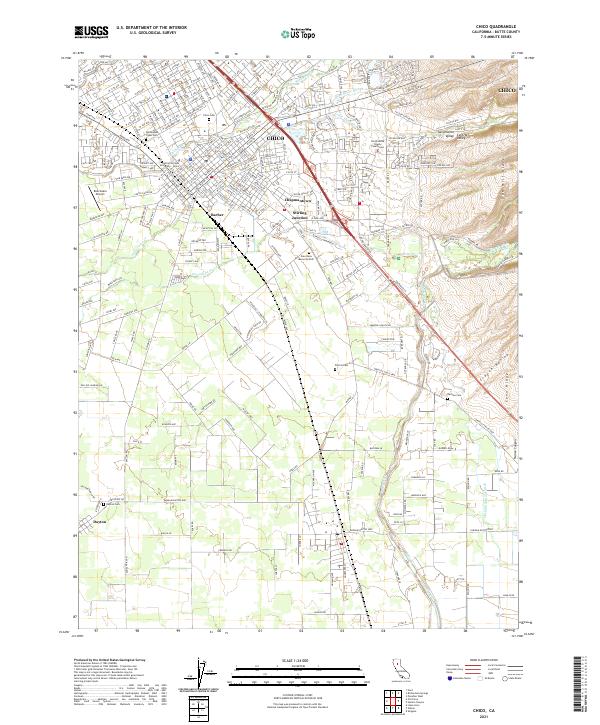 2021 Chico2021 Print · USGSThe northern Sacramento Valley thrives in the early twenty-first century, centered on the growing university town of Chico. Genealogists and historians can trace the foundations of local heritage at the Mechoopda Tribal Cem, Dayton Cem, and the historic industrial hub at Stirling Junction.
End of results
Showing maps 1-14 of 14
Top cities near Barber
- Chico historical maps
- Oroville historical maps
- Durham historical maps
- Paradise historical maps
- Vina historical maps
Frequently asked questions
- What are the different types of historical maps available for Barber?
- What is the oldest map of Barber?
- Where can I purchase historical maps of Barber for my home or office?
- Where can I download high-res historical maps of Barber?
- Are there historical topographic maps available for Barber?
- Is there historical aerial imagery available for Barber?
- Where are historical maps of Barber sourced from?