2000s (21st Century) Maps of Dorrington, California
Explore 6 historic maps of Dorrington from the 2000s (21st Century). These maps offer a rare glimpse into what life looked like during the 2000s — showing old roads, neighborhoods, homes, and landmarks that have changed or disappeared over time.
Whether you're researching your family's past, planning a metal detecting trip, or studying how Dorrington's landscape evolved across the 2000s, these high-resolution maps are a powerful tool for exploring the history of this region.
- Focus on a specific era: All maps on this page are from the 2000s, giving you a focused view of this time period.
- See what’s changed: Compare century-old streets, trails, and buildings to today's modern landscape using overlays and satellite layers.
- Research with precision: Use these maps for genealogy, historical research, land use analysis, or educational projects.
- View, download, or print: Maps are fully viewable online in high resolution, and can be downloaded or printed for your own records.
Start exploring Dorrington's history through authentic maps from the 2000s. This is your window into the past.
Dorrington, CA maps
(6)- 2001 Map of Dorrington, 2004 Print
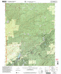 2001 Dorrington2004 Print · USGSThe High Sierra foothills near the Calaveras and Tuolumne county line are shown here just after the turn of the millennium. Researchers can trace local landmarks like Blue Mountain Lookout and family-named enclaves such as Mumbert Acres and Airola Camp.
 - 2012 Map of Dorrington, 2012 Print
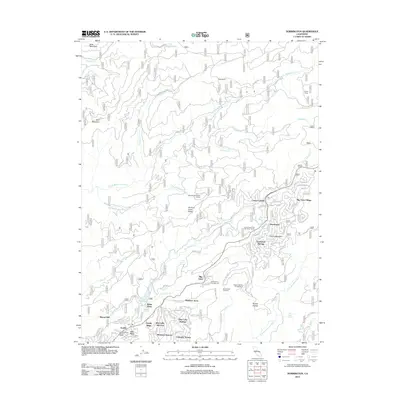 2012 Dorrington2012 Print · USGSCovers Dorrington, including Blue Lake Springs, Camp Connell, and other nearby areas
 - 2015 Map of Dorrington, 2015 Print
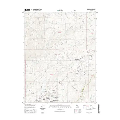 2015 Dorrington2015 Print · USGSCovers Dorrington, including Blue Lake Springs, Camp Connell, and other nearby areas
 - 2018 Map of Dorrington, 2018 Print
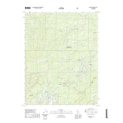
 2018 Dorrington2018 Print · USGSCovers Dorrington, including Blue Lake Springs, Camp Connell, and other nearby areas
 - 2022 Map of Dorrington, 2022 Print
 2022 Dorrington2022 Print · USGSCovers Dorrington, including Blue Lake Springs, Camp Connell, and other nearby areas
 - 2023 Map of Dorrington, 2023 Print
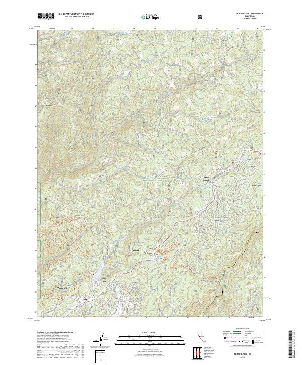 2023 Dorrington2023 Print · USGSThe Sierra Nevada high country near Dorrington and Arnold is shown here in the early twenty-first century. Researchers can trace the development of mountain communities and industrial sites like Manuel Mill or explore the drainage of the South Fork Mokelumne River.
End of results
Showing maps 1-6 of 6
Frequently asked questions
- What are the different types of historical maps available for Dorrington?
- What is the oldest map of Dorrington?
- Where can I purchase historical maps of Dorrington for my home or office?
- Where can I download high-res historical maps of Dorrington?
- Are there historical topographic maps available for Dorrington?
- Is there historical aerial imagery available for Dorrington?
- Where are historical maps of Dorrington sourced from?